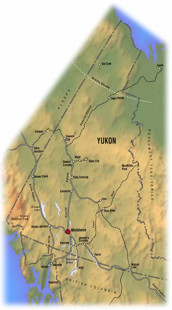
| The Yukon was officially established as a Canadian Territory on June 13th, 1898. (Map of Yukon below) Land Area of the Yukon: 483,450 sq. km. Population as of December 2002: 29,960 people. (22,131 in Whitehorse alone) Highest mountains: 1) Mount Logan (5,959m.) 2) Mount St. Elias (5,489m.) 3) Mount Lucania (5,226m.) Largest National Parks: 1) Kluane National Park (22,015 sq. km.) 2) Ivvavik National Park (10,170 sq. km.) 3) Vuntut National Park (4,387 sq. km.) Principal Rivers: Donjek River, Klondike River, Liard River, MacMillan River, McQueston River, Nisutlin River, Peel River, Pelly River, Porcupine River, Ross River, Snake River, White River, Wind River and the Yukon River. Principal Lakes: Aishihik Lake, Bennett Lake, Dezadeash Lake, Frances Lake, Kluane Lake, Kusawa Lake, Laberge Lake, Little Salmon Lake, Marsh Lake, Mayo Lake, Quiet Lake, Tagish Lake and the Teslin Lake. Yukon First Nation Language Groups: Vuntut Gwitchin, Han, Northern Tutchone, Southern Tutchone, Upper Tanana, Kaska, Tagish and Tlingit. |
 |