 |
How to use the Atlas.
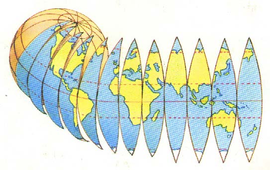
This is a site of maps of the countries of the world. Maps can show the shapes and features of countries much smaller than in real life. The world is round but most maps are flat. To make the surface of the world seem flat, maps makers have to divide in into segments rather like peeling an orange.
|
We have used this kind of flattened out map on the main maps to show you where a country or continent in the world.
 |
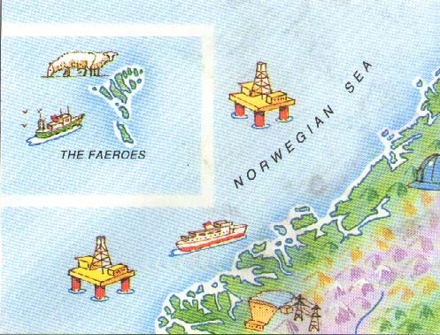
Sometimes it is not possible to fit all of one map on to the page. If a piece of land has been moved from its real position, it will have a box round it as below. It may not be to the same scale as the rest of the map.
 |
Maps also show the names of places. Different people may call the same place by a different name. If there are two common ways of naming a place, both are given on the map,
For Example:
Beijing (Peking).
The way that the name is printed can give you other clues about what you see.
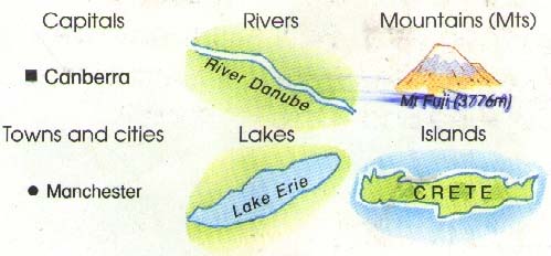 |
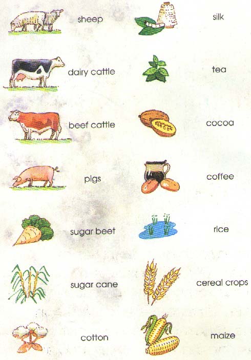
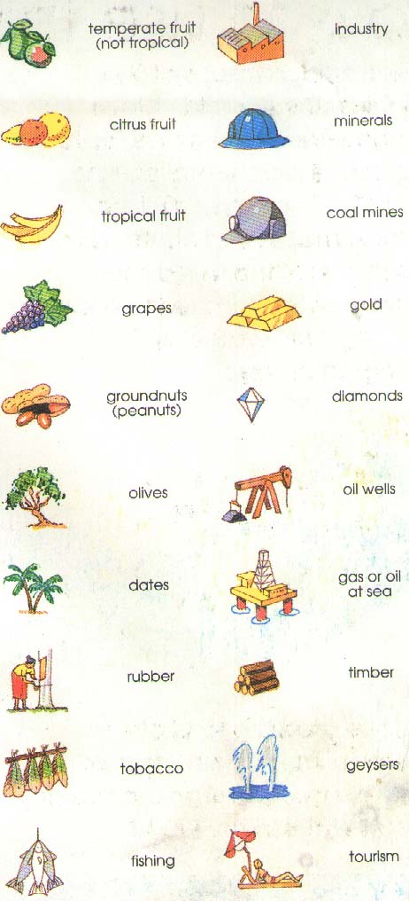
On the maps there are many small pictures to give you more information about the countries shown. Most of these are symbols that appear many times and have a special meaning.
 |
 |
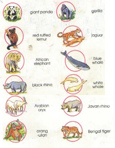
Endangered species.
The changes that human beings have made to the world have meant that many animals are now endangered. Some of these are shown on the maps in a red circle. Can you find these animals ?
 |