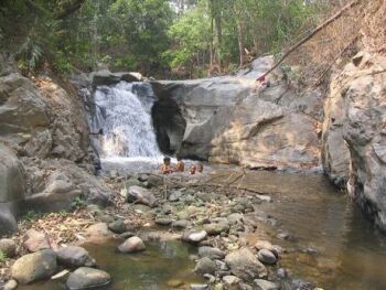
(A.OMKOI, Chiengmai Province, Thailand)
SWAT/GIS (Soil and Water Assessment Tool / GIS) has been unified distinguished public domain model in continuous time and basin scale together with Geoinformatic system interface. She was one of our relief seemliness on software license expenditure and assisted to improve engineering software development in Thailand.
Our encouraging prototype was researched on Amphoe Omkoi, Chiengmai province.1,500 square-kilometers drainage area which was divided into seven tributary basins and ten hydrologic respond units. Discharges from two hydrological stations (P64: Highway bridge,Ban Luang, Omkoi, Chiengmai province) and (PN-8: Ban Pa Kha, Omkoi, Chiengmai province) were frontier model verification.
Step 2: Collected Data.
Step 3: Result of Model.
Step 4: Calibrated & Verified Model.
Step 5: Presentation.
(Soil and Water Assessment Tool)
Type: distributed
parameter, physically-based, continuous simulation, watershed scale
Version: 2005
Web info:
http://www.brc.tamus.edu/swat/index.html
HTTP Download | FTP Download
HTTP Download | FTP Download
SWAT is a public domain model supported by the USDA ARS. SWAT is a river basin scale model that has been developed to quantify the impact of land management practices on water, sediment, and agricultural chemical yields in large watersheds. SWAT was first developed as an extension of the SWRRB model and uses some algorithms from the CREAMS, GLEAMS, and EPIC models for processes occurring on land, and uses some algorithms from the QUAL2E model for instream water quality processes. An ArcView-based and a DOS-based input user interface is available for the SWAT 2000 version of the model, and a windows-based user interface is under development.