


These are links to photographs from my second attempt (14 July 2001) at riding a 300-mile "circle" to the North and East of my home in Orem, Utah. (The first attempt, on 16 September 2000, was rudely interrupted by a cow that decided to cross the road while I was hanging out in the left lane passing a string of cars....)
The route was as follows:
The photos as you see them here are reduced to a 160x120 pixel format. Just click on a picture to see a larger (640x480 pixel) version. Almost all of the photos were originally taken in a 4 times larger format (1280x960 pixels). I reduced them to conserve space and download time, even though the clarity suffered because of it. If you want to see the FULL-size photos, let me know!
HERE ARE THE PICTURES!
|
Waiting to get onto I-80 Westbound |
|
Heading up East Canyon - just before the turn to Emigration Canyon |
|
Looking back down East Canyon to I-80 |
|
A little further on - looking back down some switchbacks |
|
One corner of the reservoir in East Canyon |
|
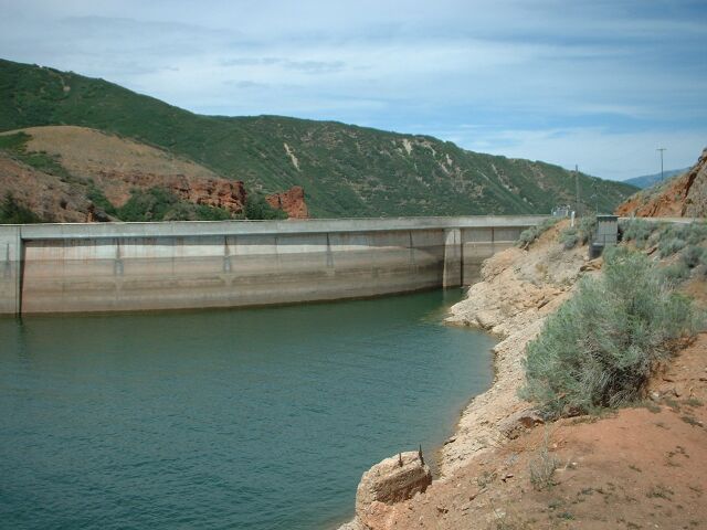
The west end of the dam holding back the reservoir |
|
The east end of the same dam |
|
Another view of the dam |
|
"Turnaround shot" south of Morgan - looking back the way I came |
|
Interesting chapel on the main road into Morgan |
|
Pioneer cabin on the opposite side of the chapel parking lot |
|
What the historical marker says |
|
Roadside shot heading east out of Huntsville |
|
Same spot, closer up |
|
Fifty yards further on, looking downstream |
|
A hint of weather to come |
|
Just before the Middle of Nowhere - looking back |
|
AHA! The Exact Middle! |
|
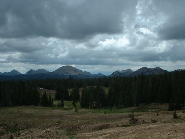
Another look at the weather to come |
|
Jake Maring & Steamboat - between Woodruff, UT and Evanston, WY |
|
Everyone's favorite place to eat while on the road (in Evanston, WY) |
|
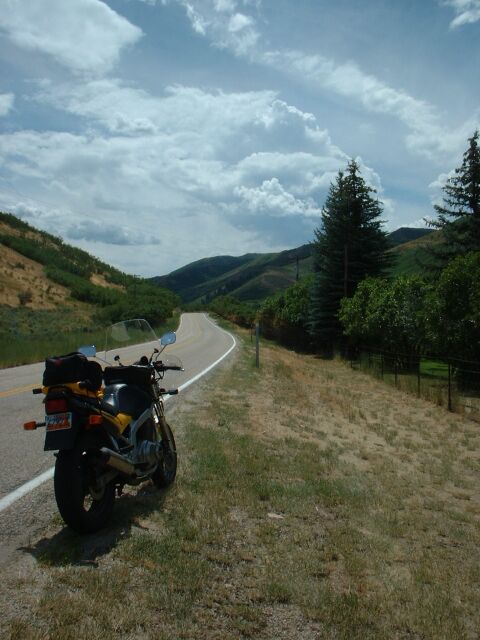
Roadside shot, heading south out of Evanston |
|
Same shot with more context |
|
Impending Doom! The storm in the Uintas that I'm heading for. "Thar's RAIN in them thar hills!" |
|
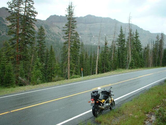
After the rain & sleet - on the way up |
|
Where the road curves around Mirror Lake |
|
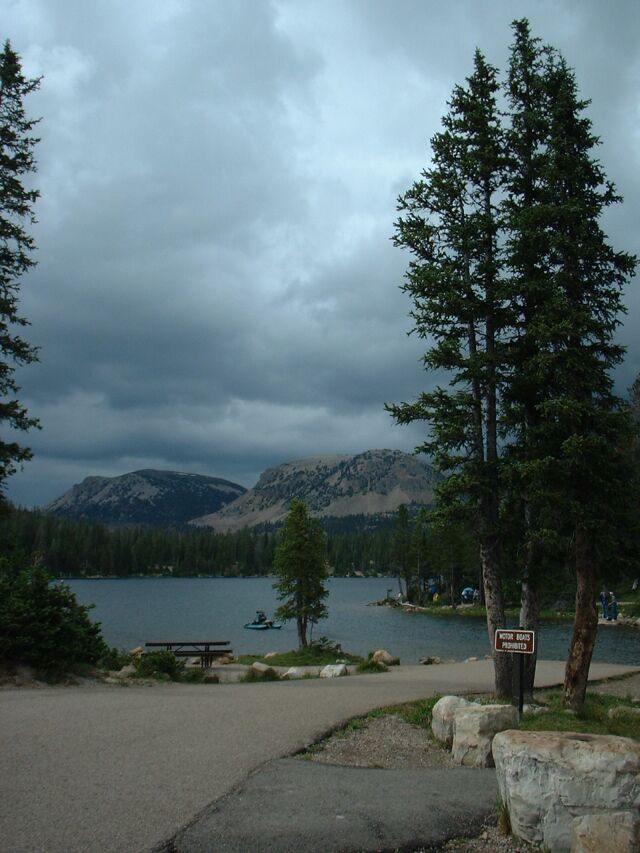
On the far side of Mirror Lake (elevation ~10,000 ft) |
|
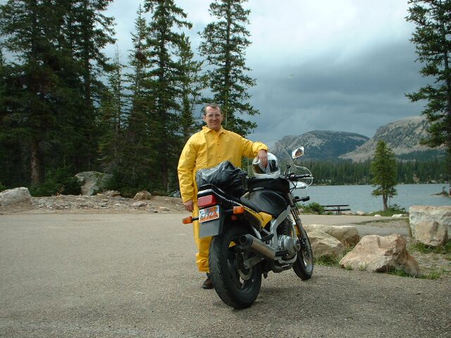
Same spot, but with Yours Truly in the picture |
|
Almost to the top - looking back |
|
Same parking area - looking west at Bald Mountain. According to the sign, the top is "Elev 11,943" |
|
The "high point" of the trip - Bald Mountain from the south |
|
Roadside shot just down from the top - looking west |
|
A poorly exposed shot of Provo River Falls |