Roads of the Mid-South & West > Highways of the State of Kansas > Kansas Turnpike


The Kansas Turnpike is a toll highway running in Eastern Kansas. This connects Wichita to Kansas City, via Topeka and Lawrence. The turnpike was constructed in 1955 and 1956, and opened to traffic in October, 1956. It is maintiained by the Kansas Turnpike Athourity. This highway is 236 miles in length. A ticket system is used for tolls along the turnpike. The Kansas Turnpike carries the shield of Interstate 35, Interstate 335, Interstate 470, and Interstate 70.
On October 20, 1956, the KTA allowed drivers a "free preview". Travelers were allowed on between 6 a.m. and 2 p.m.*
The Kansas Turnpike passes through the following metro areas.
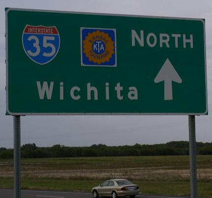
 Wichita
Emporia
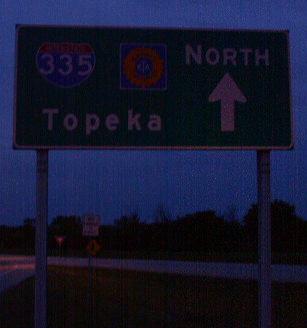
Topeka
Lawrence
Kansas City
To help local motorist with everyday toll costs. The West Virginia Turnpike offers the pre-paid toll system know as "K-Tag".

The Kansas Turnpike crosses thr following interstates in Kansas.
 Interstate 135, at Wichita.
Interstate 235, at Wichita.
 Interstate 35, at Emporia.
Interstate 335, at Emporia.
Interstate 335, at Topeka.
Interstate 470, at Topeka.
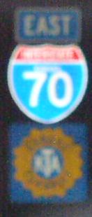
Interstate 70, at Topeka.
Interstate 470, at Topeka.
Interstate 70, at Kansas City.
The Offical Web-Site of the Kansas Turnpike Athourity.

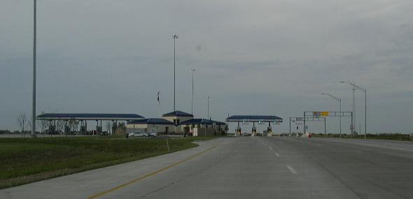
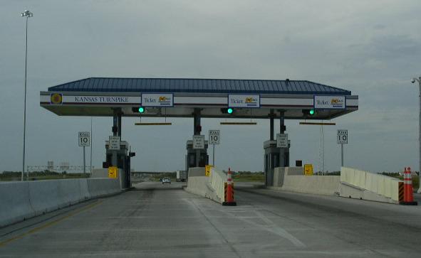
Main-Line Toll Plazas on the turnpike.
Southern Terminal #4, near South Haven.
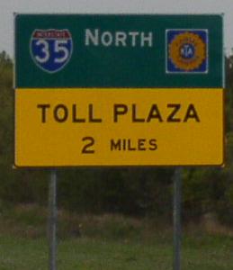
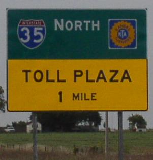
Warning signs on NB KT.
A overhead stop ahead sign on NB KT.
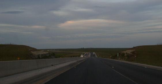
NB KT near the Southern Turnpike.
Looking north at the Southern Terminal. NB gets a ticket. SB pays their toll.
NB KT at the Southern Terminal.
Eastern Terminal #236, near Kansas City.
Warning sign on EB KT.
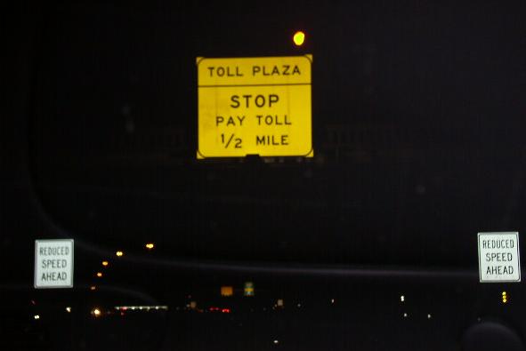
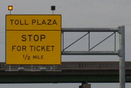
Overhead stop ahead sign.

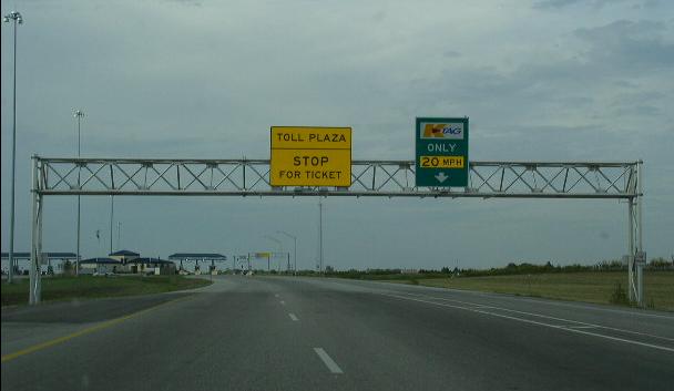
EB KT at the Eastern Terminal.
Interstates on the Kansas Turnpike.
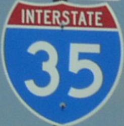
Interstate 35, from the Oklahoma/Kansas State Line to Emporia.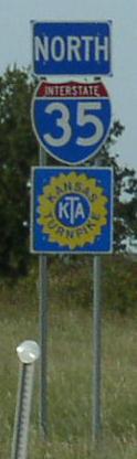
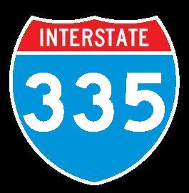
Interstate 335, from Emporia to Topeka.
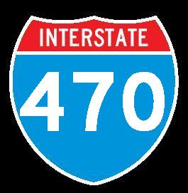
Interstate 470, at Topeka.
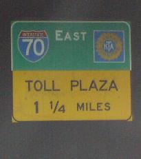
Interstate 70, from Topeka to Kansas City.
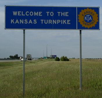
Welcome sign on NB KT at the Oklahoma/Kansas State Line.
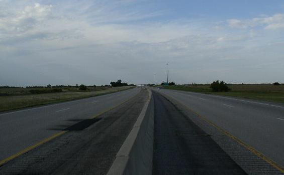
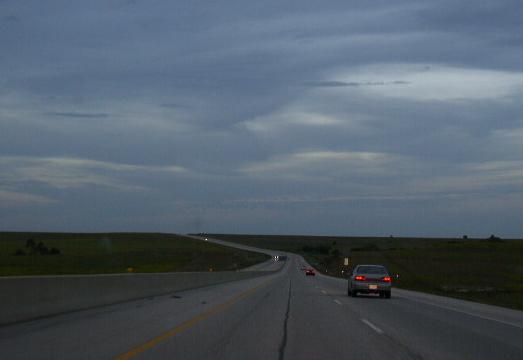
Looking north along the KT near the Oklahoma/Kansas State Line. SB on left. NB on Right.
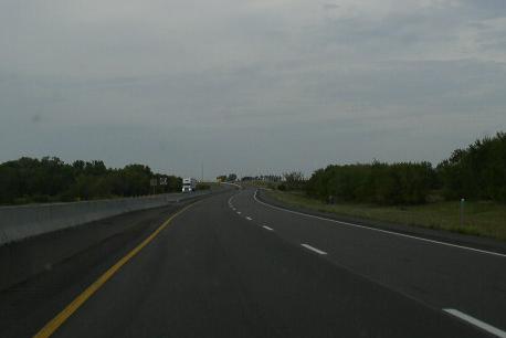
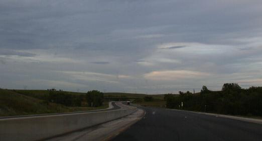
NB KT south of the Southern Terminal.
NB KT at the Belle Plaine Service Area.
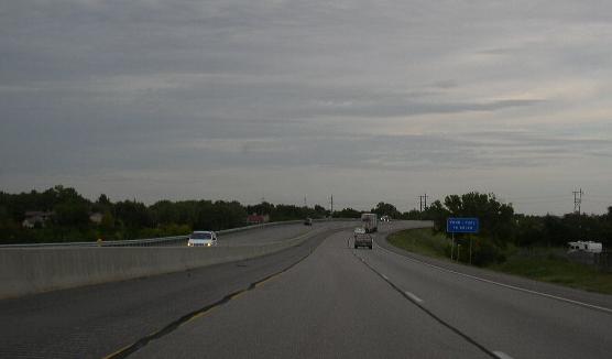
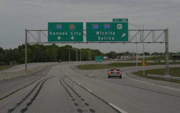
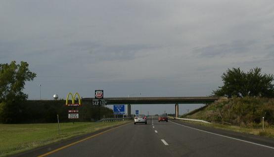
NB KT in Wichita.
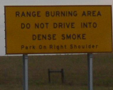
A common sign founr along the KT.
NB KT near the Butler/Chase County Line.
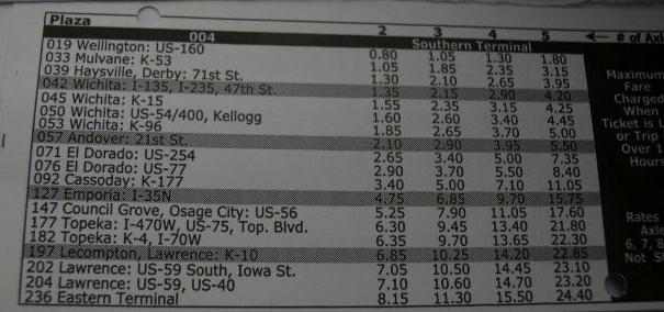
The rate chart of the ticket for the KT. (Sept. 2003)
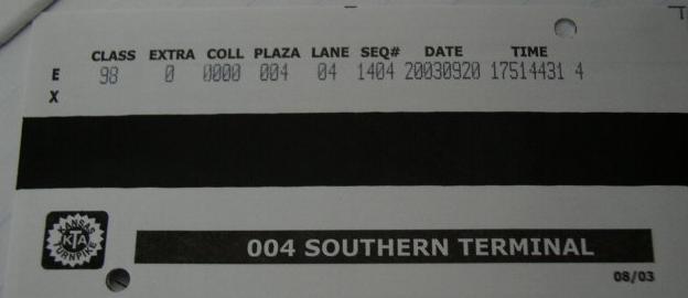
The other side of the ticket. (Sept. 2003)
NB KT in Chase County.
NB KT near the Chase/Lyons County Line.
NB KT in Lyons County.
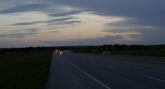
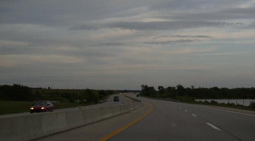
Looking south along NB KT, south of Emporia.
*email "[roadgeek] 50 Years ago today..."