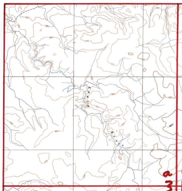
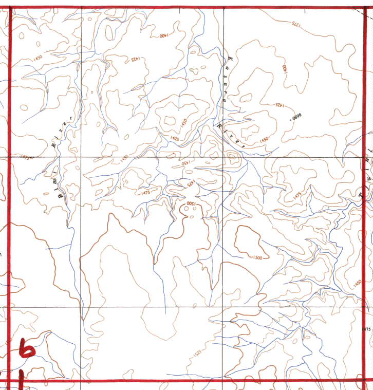
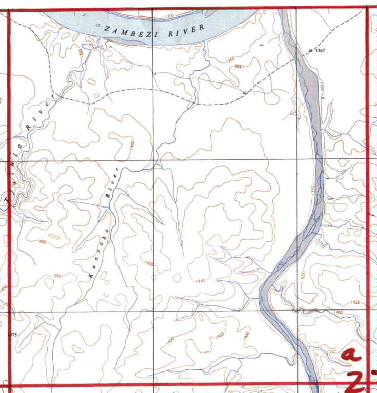
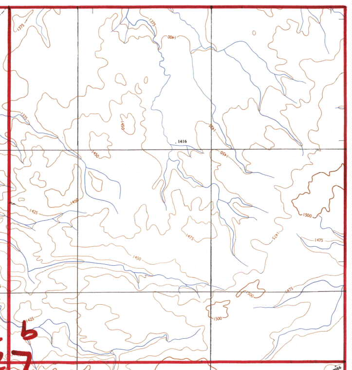
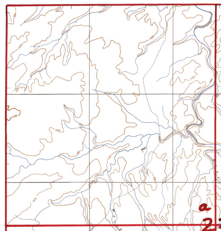
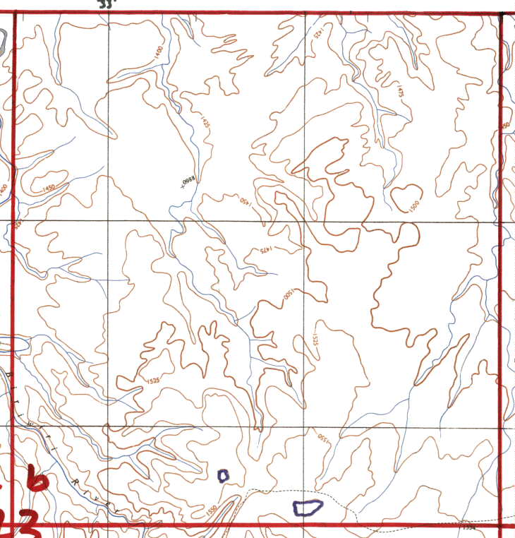
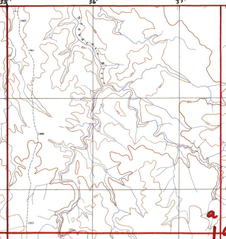
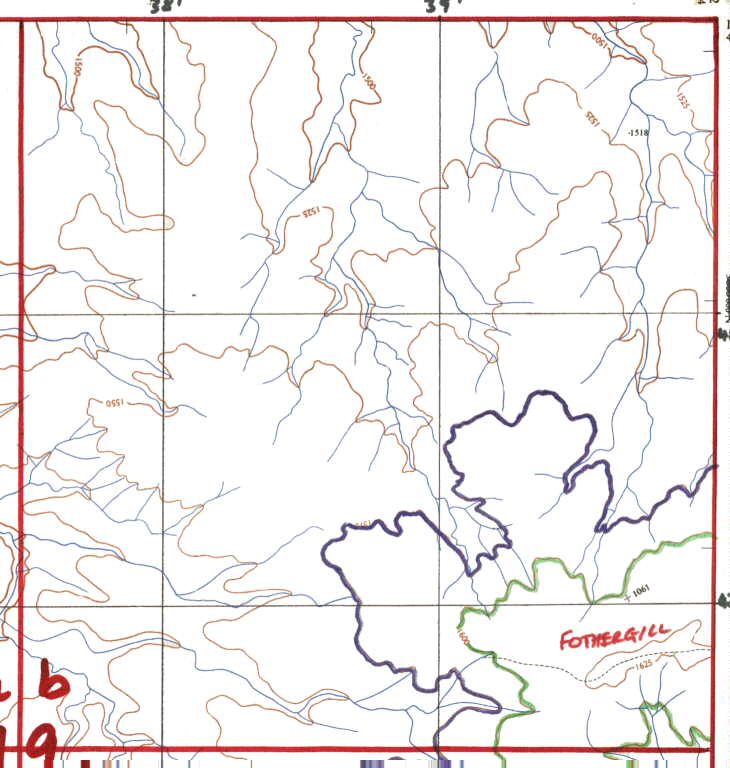
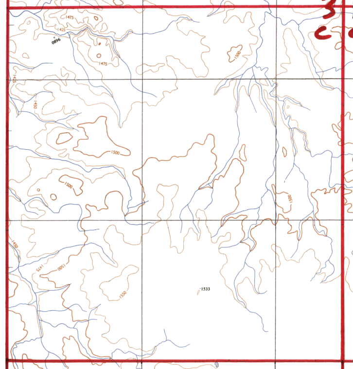
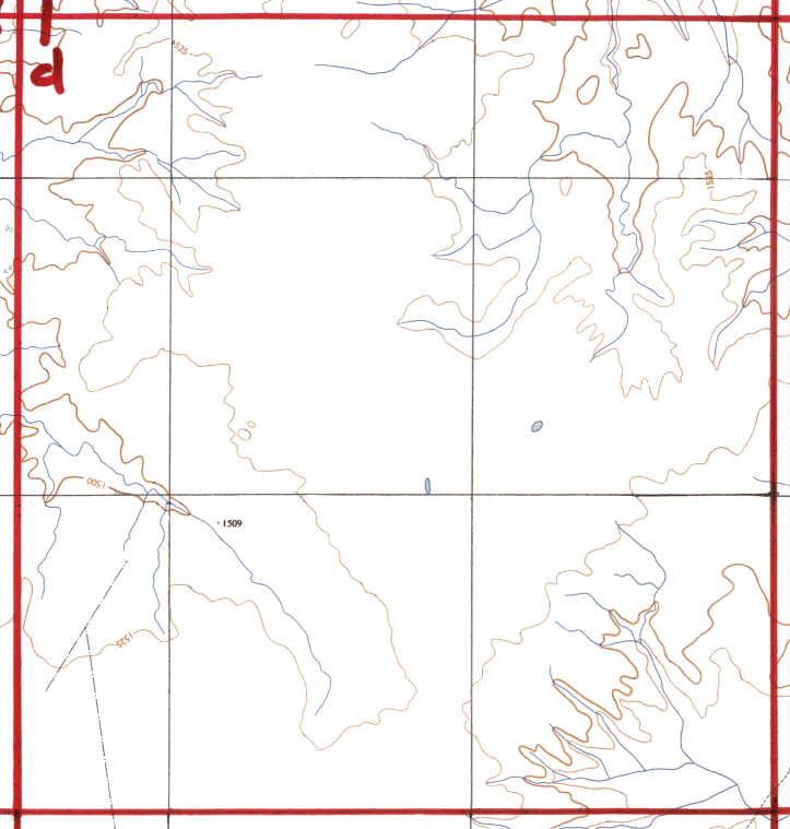
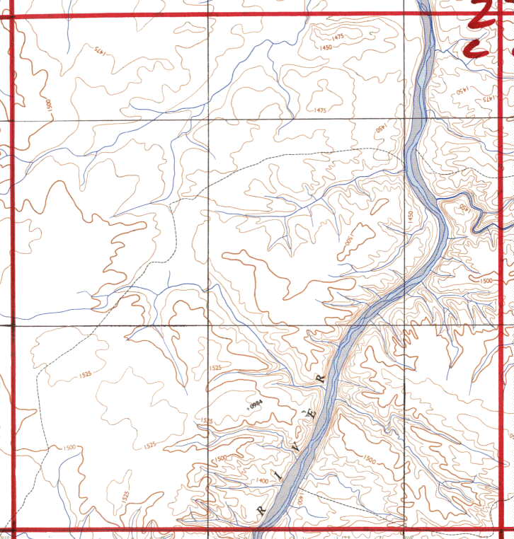
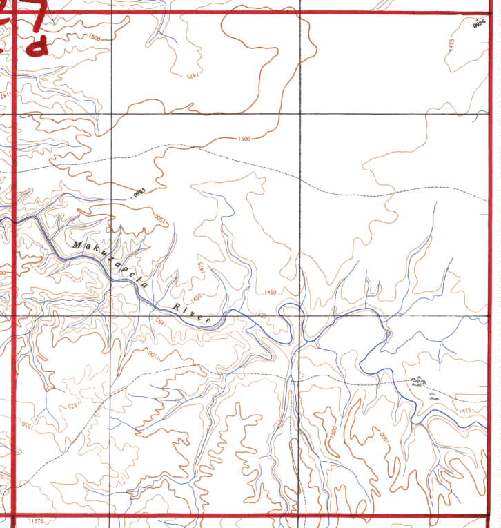
Each map is one quarter of a BIG Square,
ie they are the sections "a, b, c, or d."
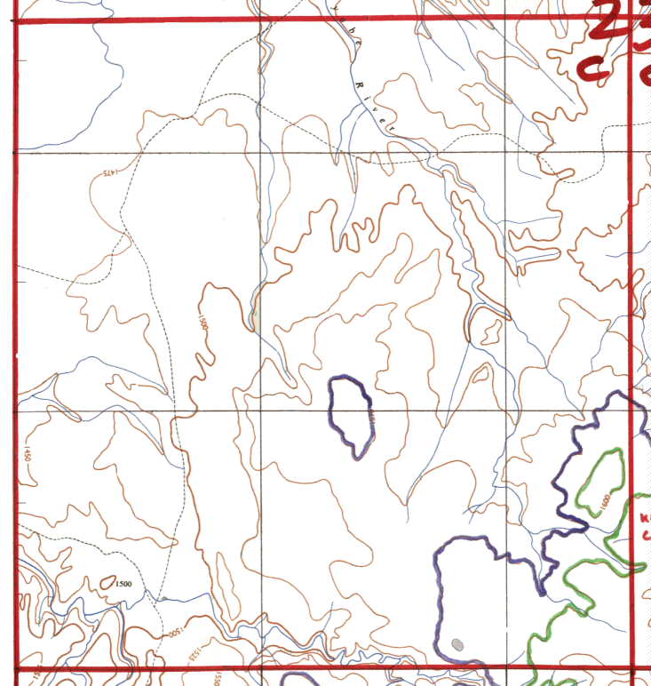
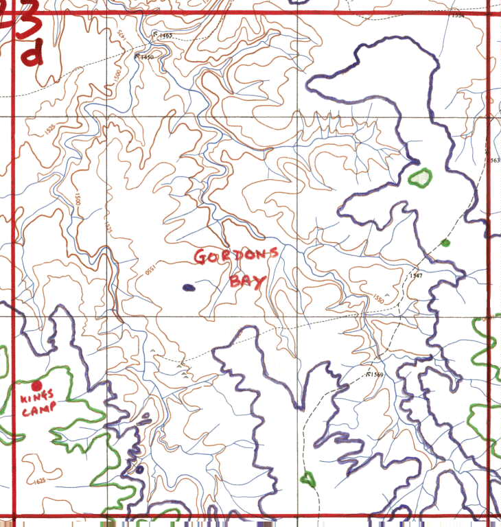
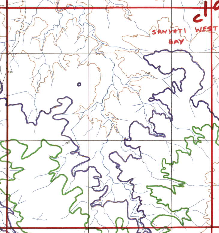
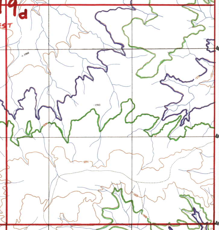
At this time, the pictures have not been changed since scanning, other
than to remove the "browny" background from the paper, and the trees and
bushes have been removed, to enable you to see the contours better.
"MAYBE" (very big maybe)
at a later stage, they will be neatened up and reproduced again.
The maps that these were produced from, are available from the Surveyor
Generals Office in Samora Machel Avenue for around $100.00 each, and you
can choose the ones that you wish to use. You need to ask for the old
Kariba maps before the dam was built.
Regretably the one that covers Kariba Town etc is unavailable, and
thus at this time it will not be available through this site/page.
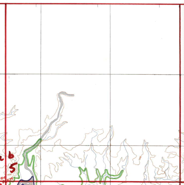
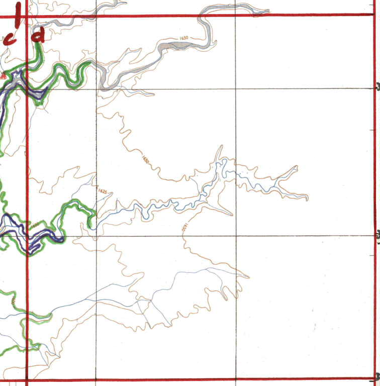
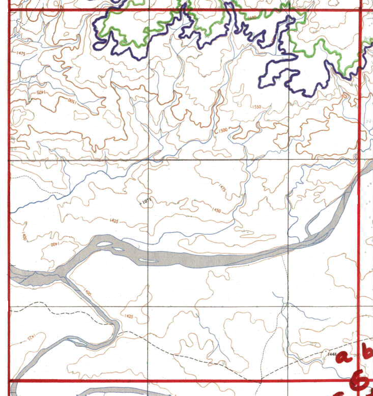
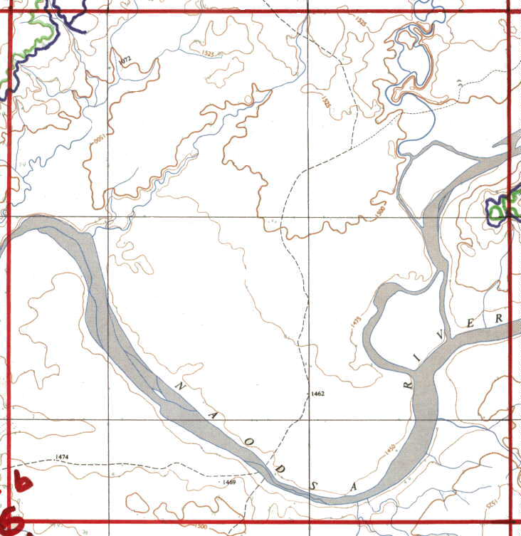
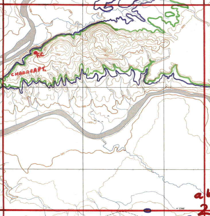
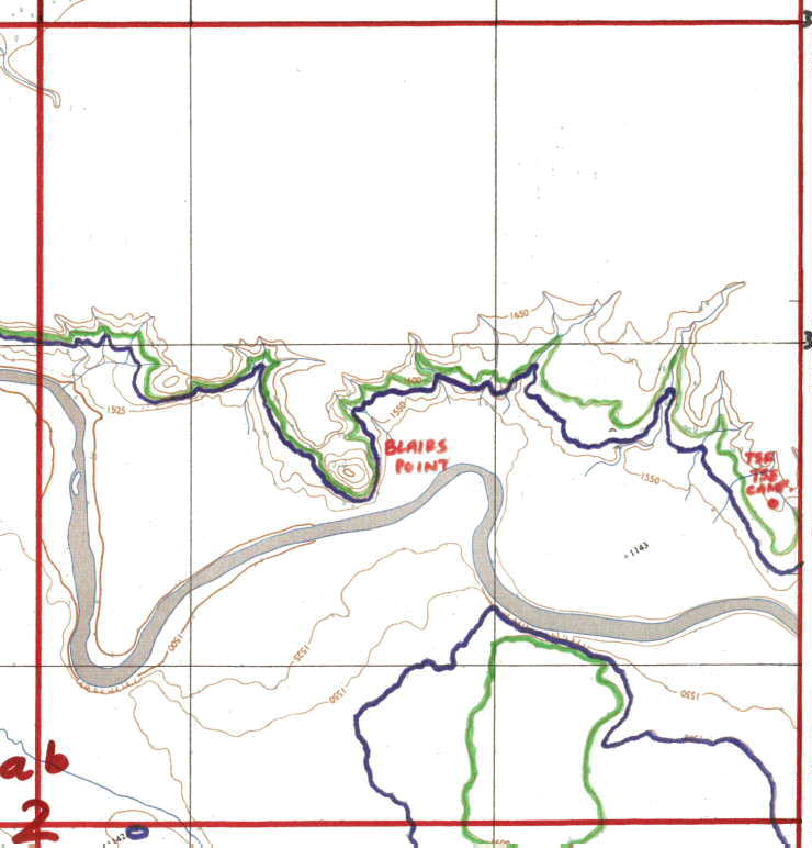
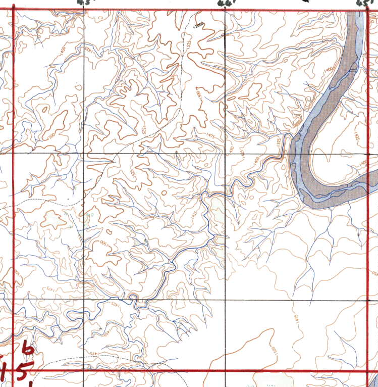
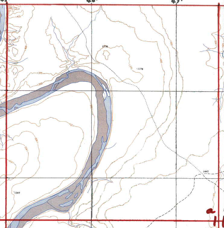
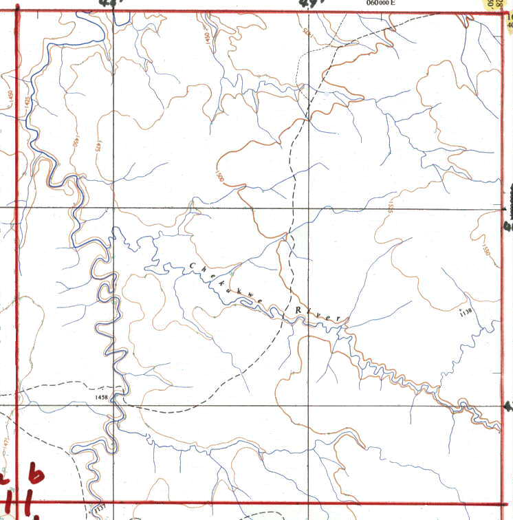
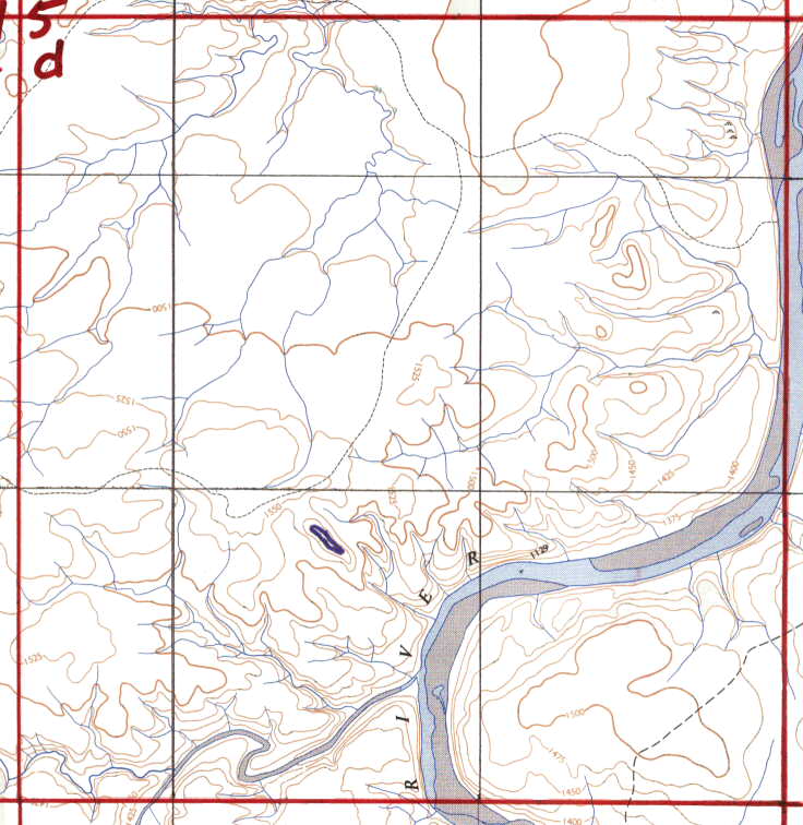
You will have to fill in the high water mark (1600
ft) and the GPS lines etc for your self, but you can use the
pics on this page for guidance.
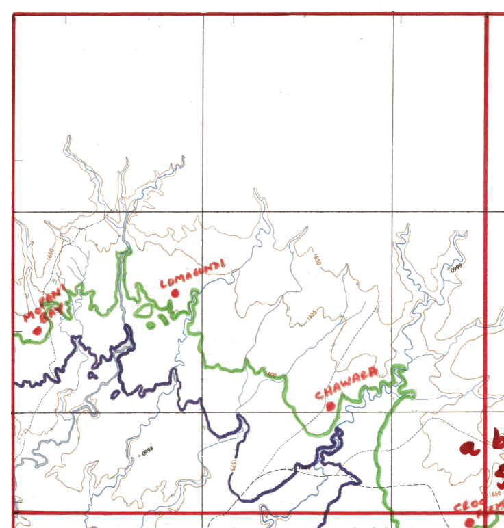
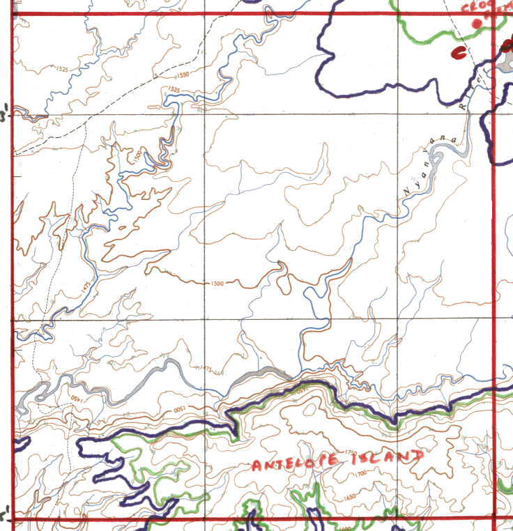
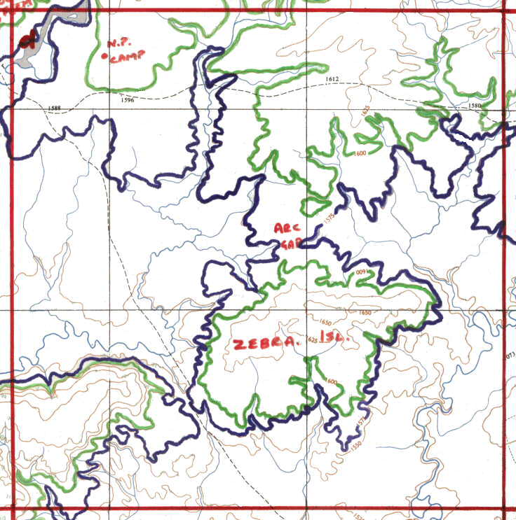
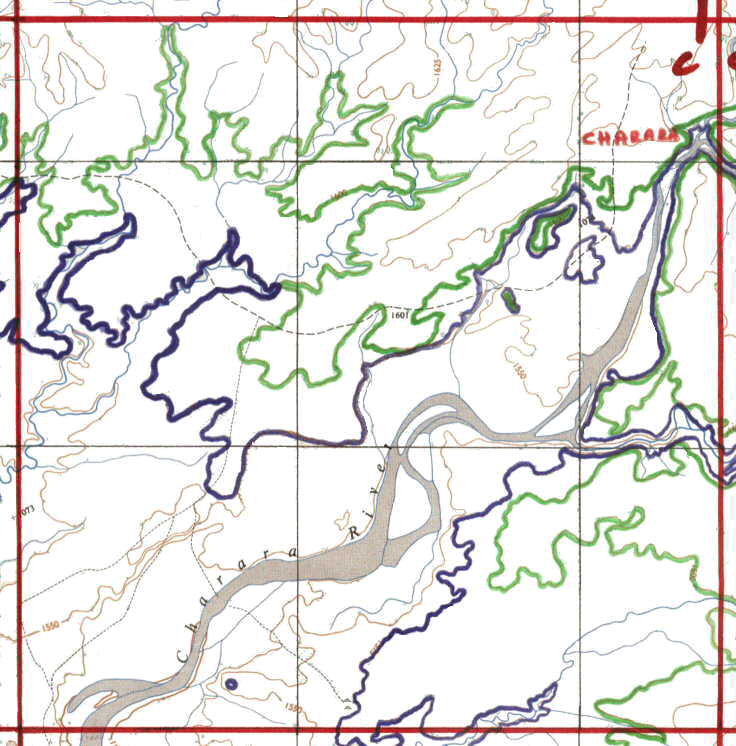
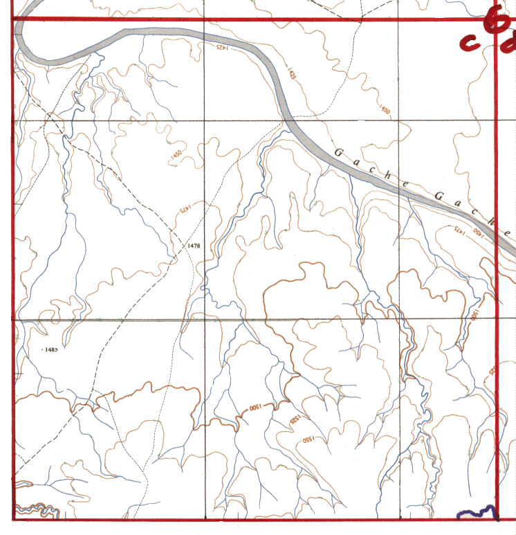
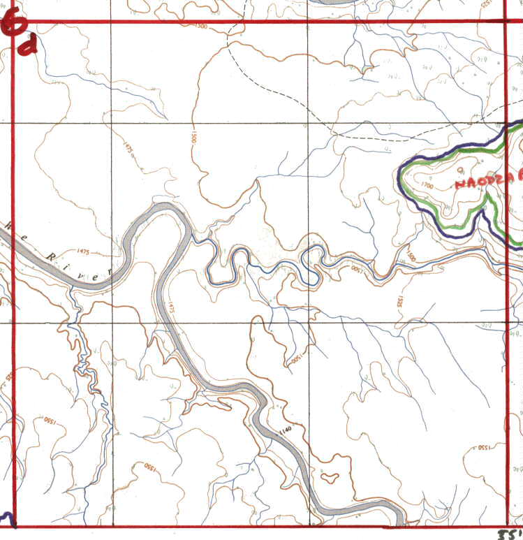
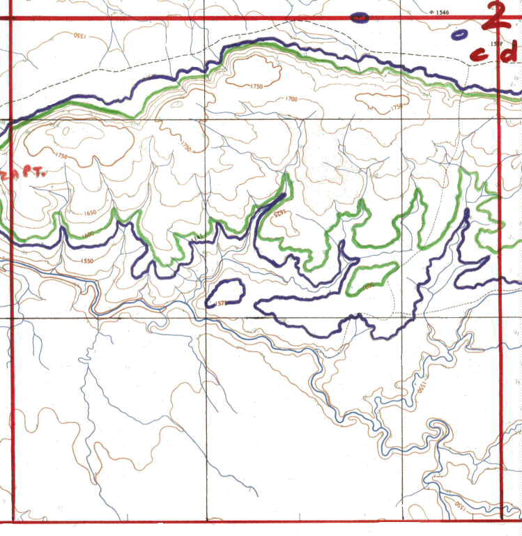
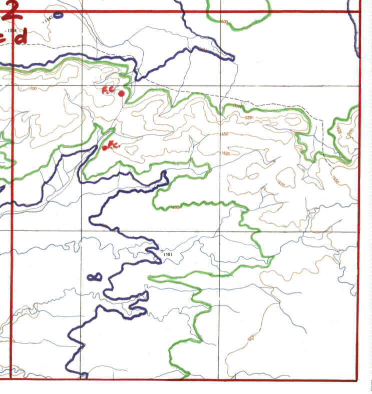
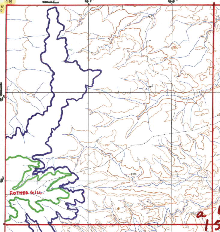
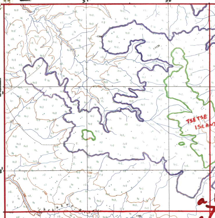
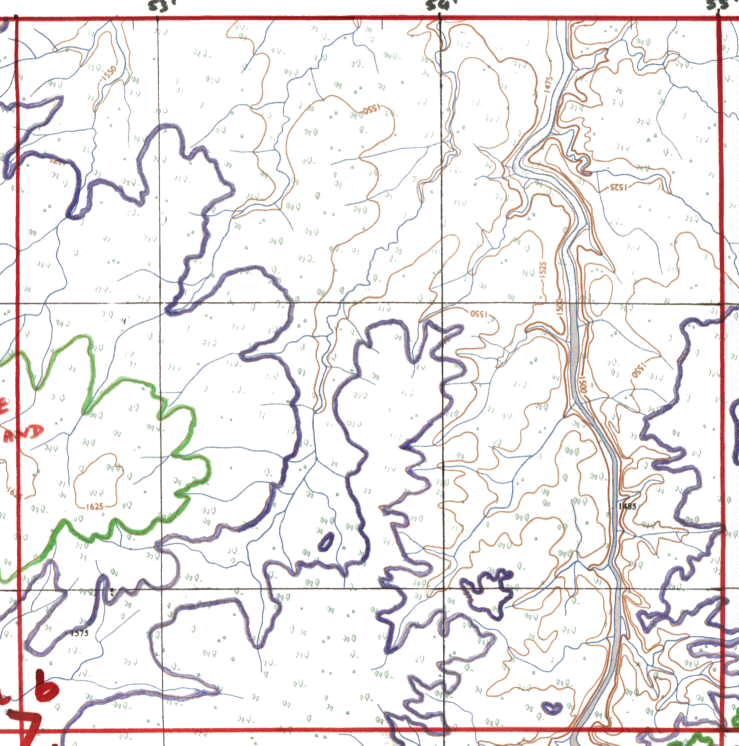
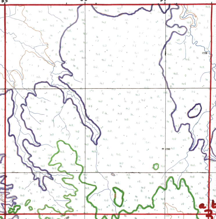
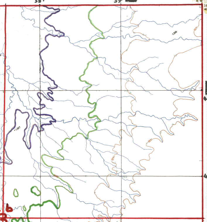
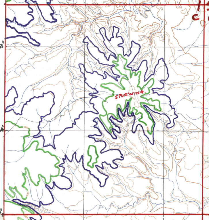
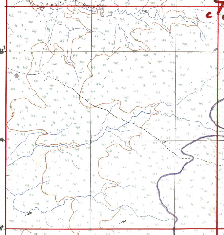
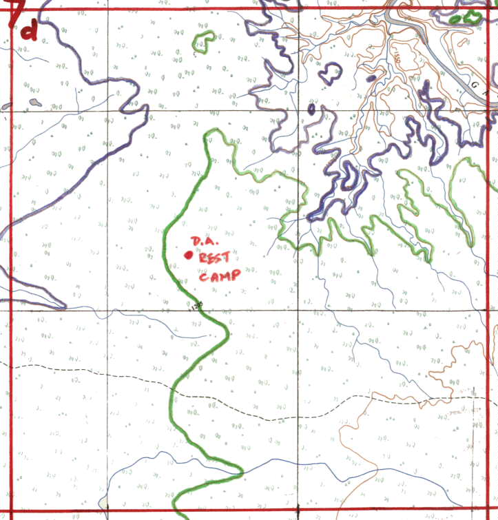
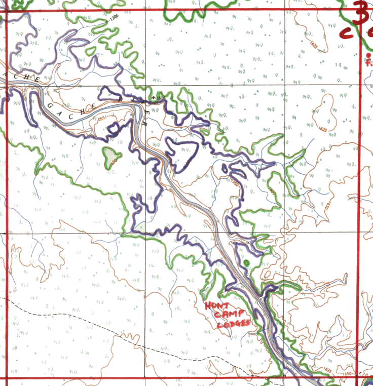
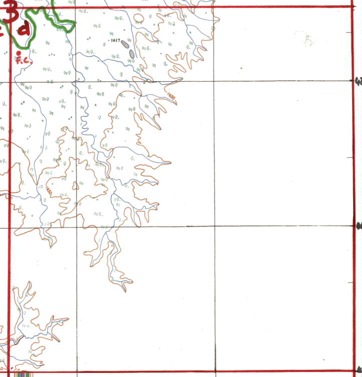
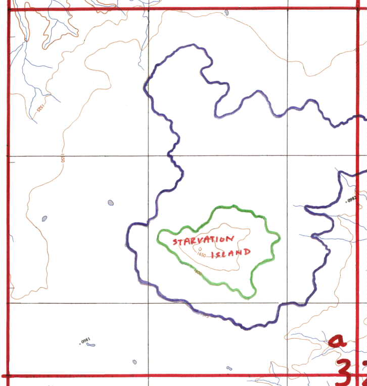
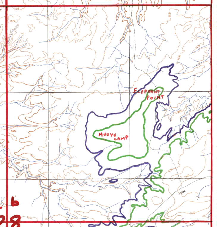
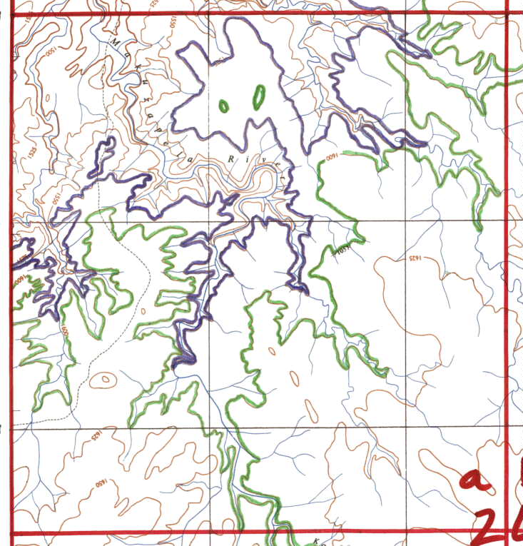
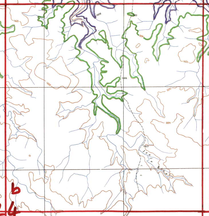
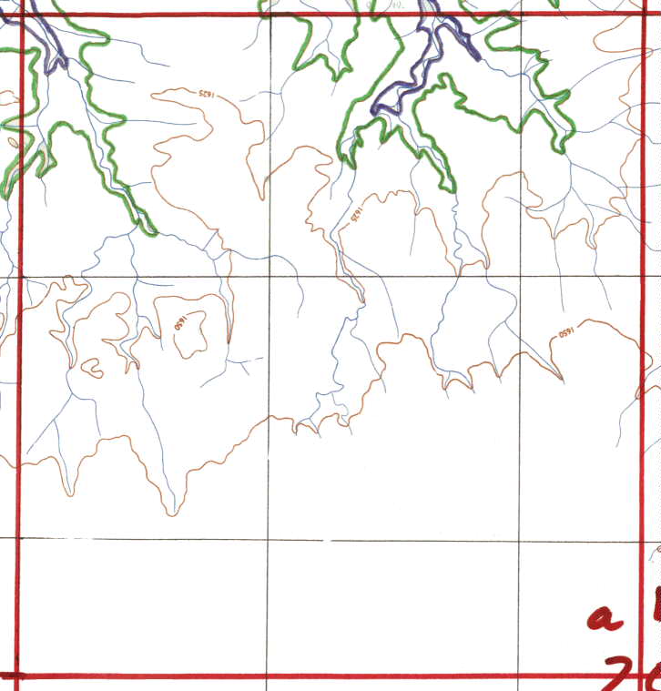
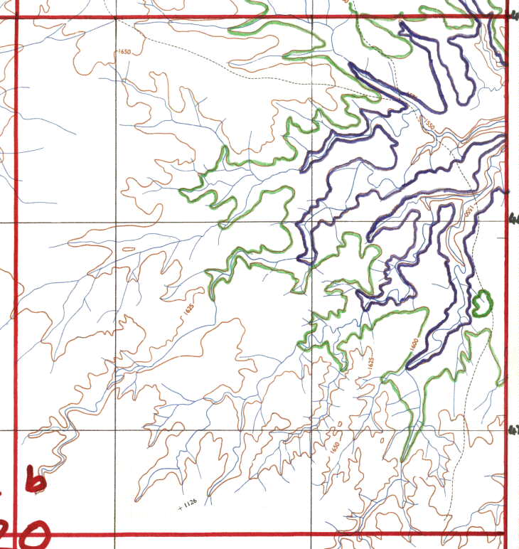
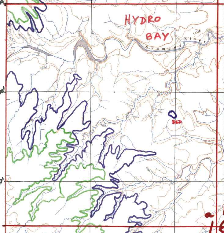
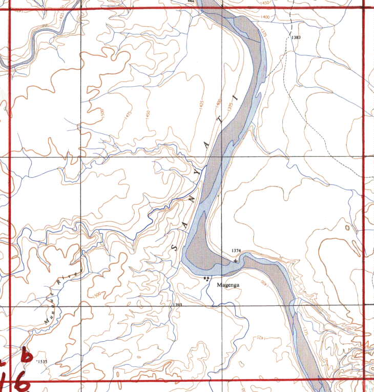
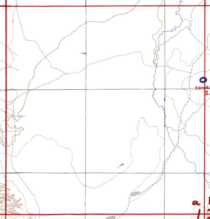
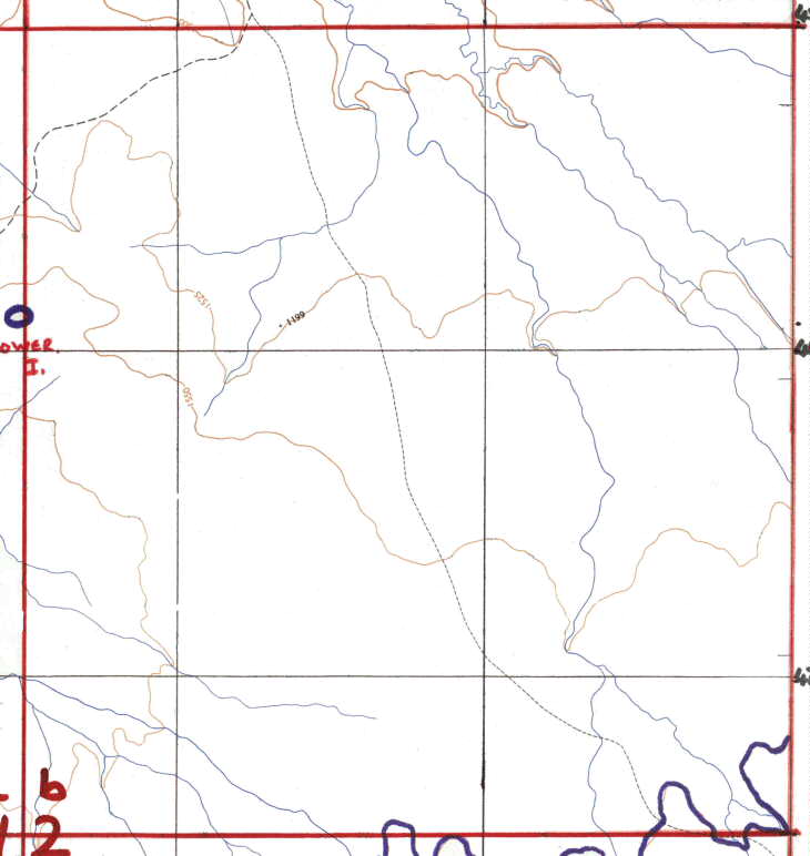
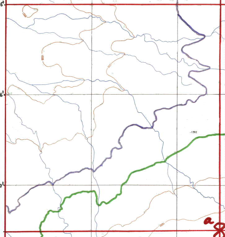
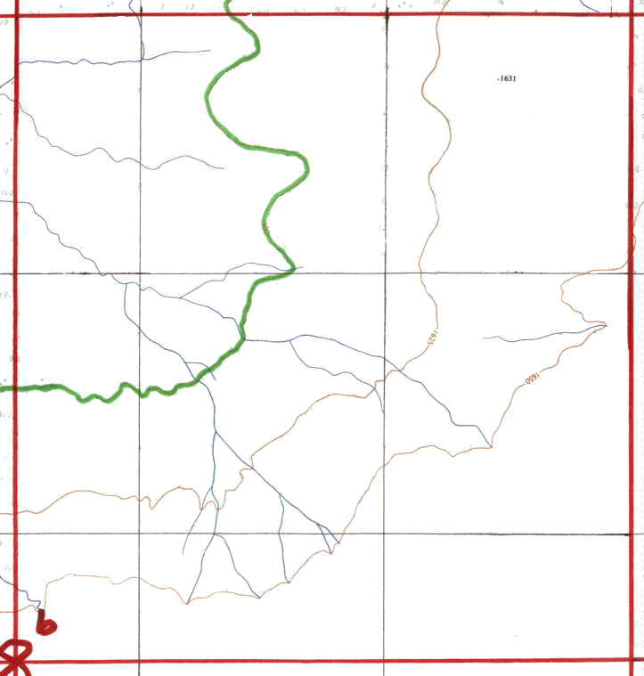
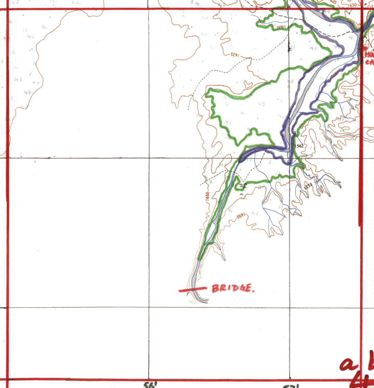
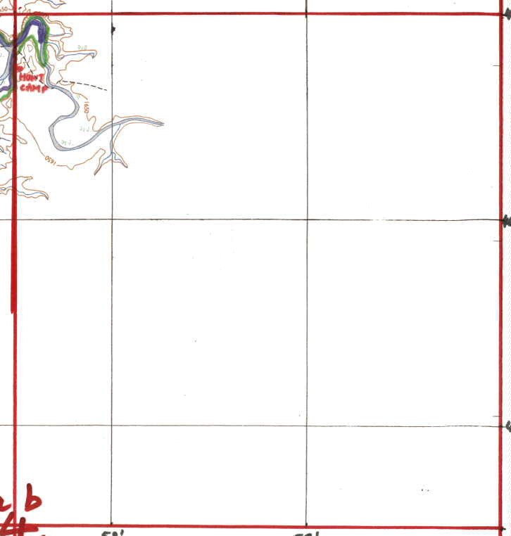
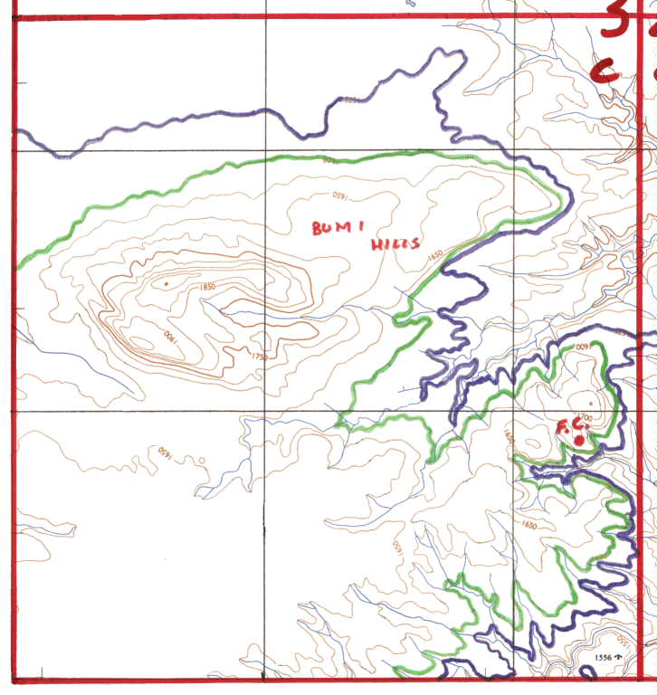
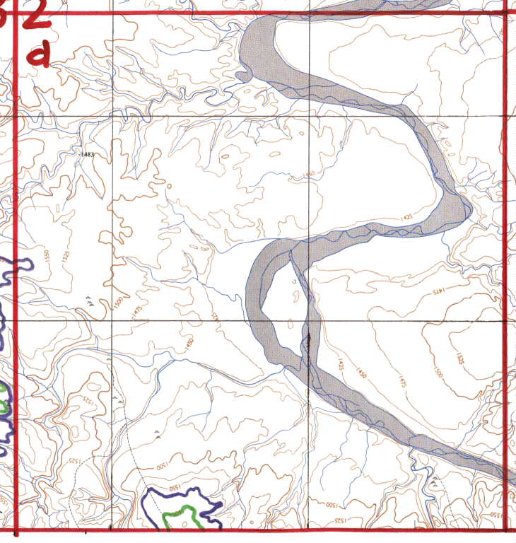
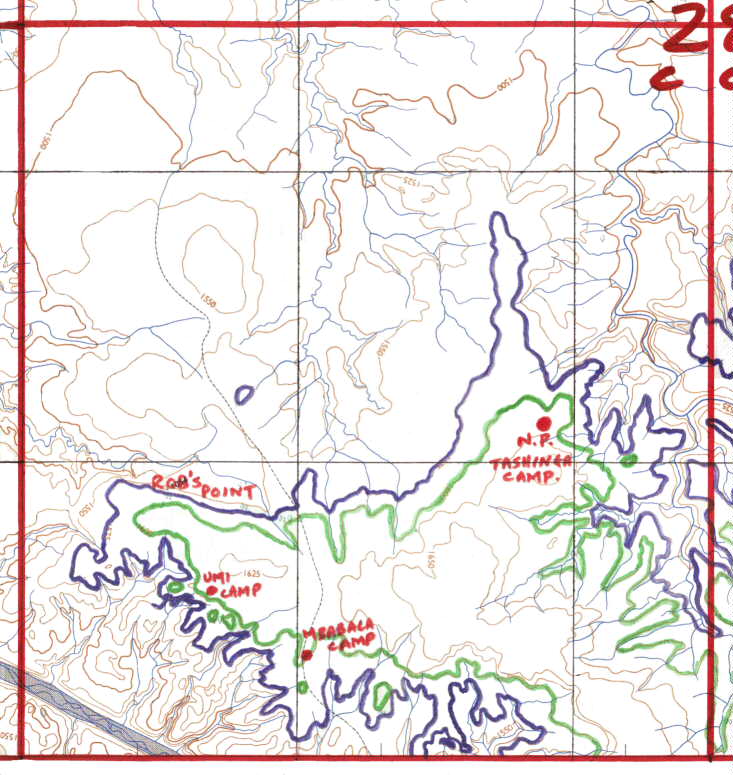
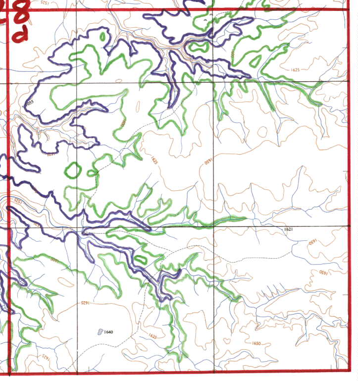
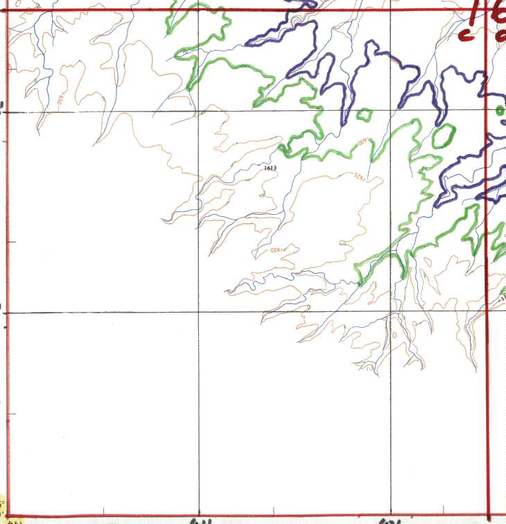
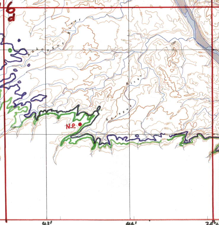
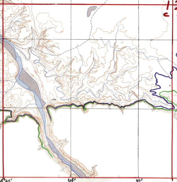
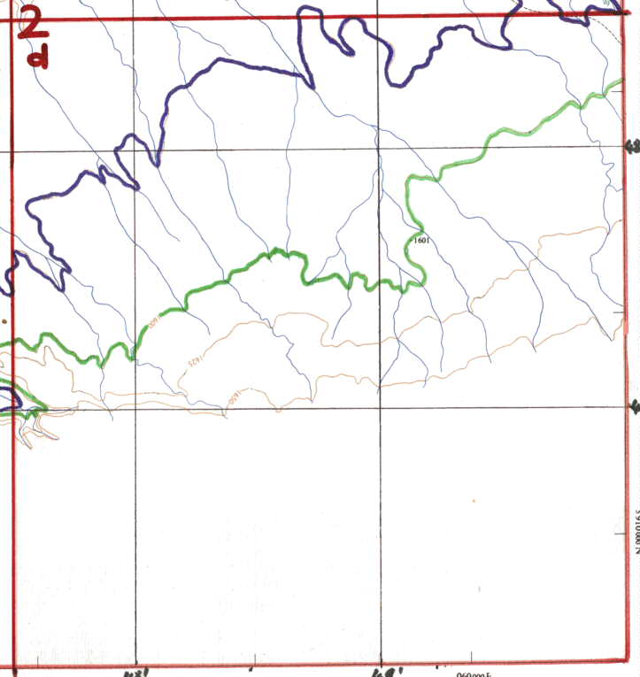
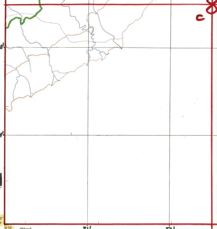
On the maps provided the Green Line is the
High Water mark and the Blue Line is
25 foot contour down from there.
The Black Vertical and Horizontal lines
are GPS lines in Minutes etc. You can work out the figures from the
Chart One mapping.
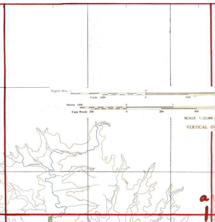
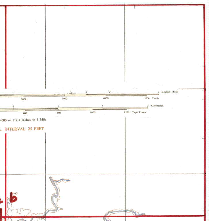
ALL the maps are the same size, and thus when you print, as
long as you keep the same settings, you should be able to put
them together and they will match.
They have been left in colour for your choice, as to whether to print
in Black or in Colour.
Please choose your map pages from the table below, which are the same
as the squares on Lake Kariba Chart One.
Only those marked in Blue are currently
available.
| 13a | 13b | 9a | 9b | 5a | 5b | 1a | 1b | ||||||||
| 13c | 13d | 9c | 9d | 5c | 5d | 1c | 1d | ||||||||
| 14a | 14b | 10a | 10b | 6a | 6b | 2a | 2b | ||||||||
| 14c | 14d | 10c | 10d | 6c | 6d | 2c | 2d | ||||||||
| 31a | 31b | 27a | 27b | 23a | 23b | 19a | 19b | 15a | 15b | 11a | 11b | 7a | 7b | 3a | 3b |
| 31c | 31d | 27c | 27d | 23c | 23d | 19c | 19d | 15c | 15d | 11c | 11d | 7c | 7d | 3c | 3d |
| 32a | 32b | 28a | 28b | 24a | 24b | 20a | 20b | 16a | 16b | 12a | 12b | 8a | 8b | 4a | 4b |
| 32c | 32d | 28c | 28d | 16c | 16d | 12c | 12d | 8c |
Should you have any problems with downloading of the maps, then please
contact the "Webmaster" for help
through the link supplied, advising your browser version and other software
for graphics.