GEOG5121 Project 1:
|
John Taber |
| City | Lat | Long | UTM Zone | Easting | Northing |
|---|---|---|---|---|---|
| New York | 40°42' N | 74°00' W | 18 | 584,482 m | 4,505,936 m |
| Bahgdad, Iraq | 33º21' N | 44º25' E | 38 | 445,754 m | 3,690,241 m |
| Rio de Janeiro, Brazil | 22º53' S | 43º17' W | 23 | 676,131 m | 7,468,406 m |
| Sydney, Australia | 33º55' S | 151º10' E | 56 | 330,551 m | 6,245,534 m |
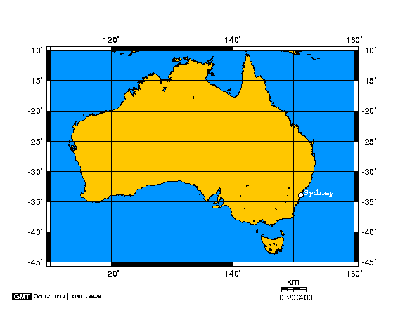
Map 1 MetadataBOUNDING COORDINATESWest Bounding Coordinate: 110° East Bounding Coordinate: 160° North Bounding Coordinate: -10° South Bounding Coordinate: -45° NOMINAL SCALE: 1:50,000,000
PROJECTION TYPE: Cylindric PROJECTION NAME: Equidistant Cylindrical PROPERTY PRESERVED: Distances measured from one or two points to all other points on the map are correct |
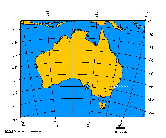
Map 2 MetadataBOUNDING COORDINATESWest Bounding Coordinate: 100° East Bounding Coordinate: 160° North Bounding Coordinate: -5° South Bounding Coordinate: -45° NOMINAL SCALE: 1:50,000,000
PROJECTION TYPE: Azimuthal PROJECTION NAME: Lambert Azimuthal Equal-Area Projection PROPERTY PRESERVED: Areas on map equal to areas on globe; Directions measured from one or two points to all other points on the map are correct |
| Sources |
| Geographic coordinates: Getty Information Institute Thesaurus of Geographic Names |
| UTM coordinates: Alan Morton's Transverse Mercator Calculator |
| Map projections: Online Map Creation |