GeoRegistering Raster Images for the
Purpose of Data Creation
John Taber
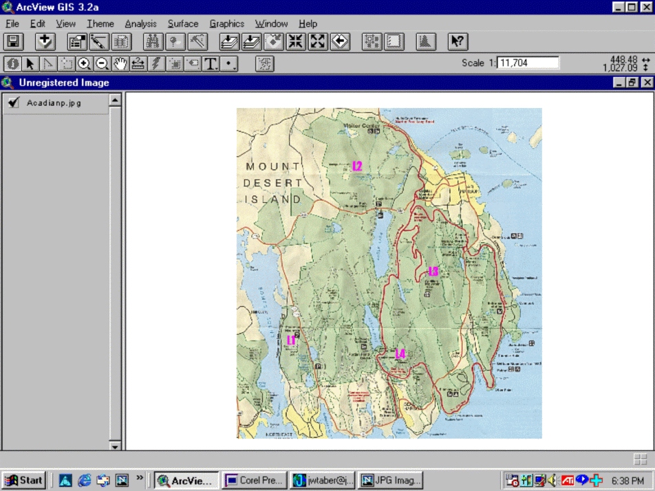
Figure 1: This shows the
original, unregistered image
of the study area in Acadia National Park.
It is simply a scanned paper
map - note the creases.
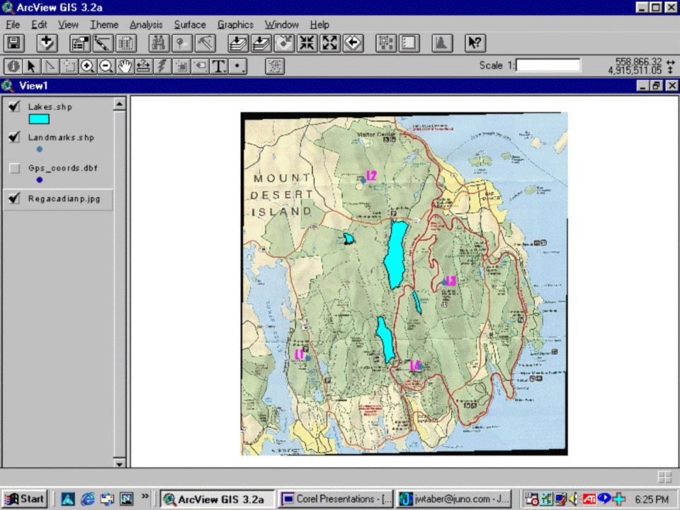
A point theme
was created to show the
proper coordinates for the four reference
points. In the ImageWarp
extension, the four points on the image were
referenced to the four points
on the point theme. ImageWarp created a new,
recfied raster image based
on this information.
Figure 2: This is the rectified image,
with polygons for four lakes
added.