DIRECTIONS:
(try not to get lost)
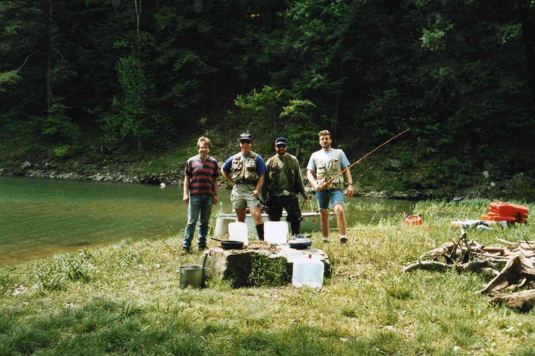
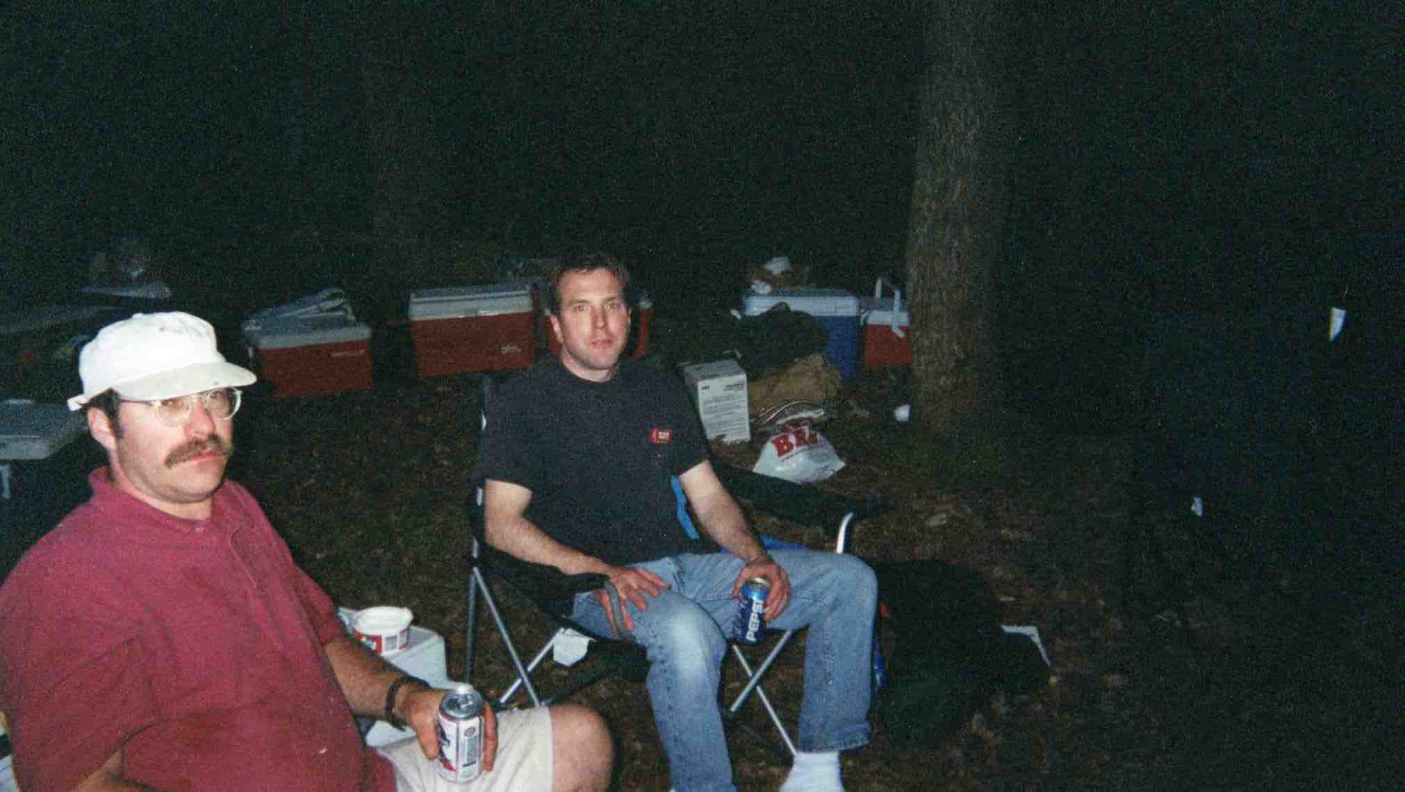
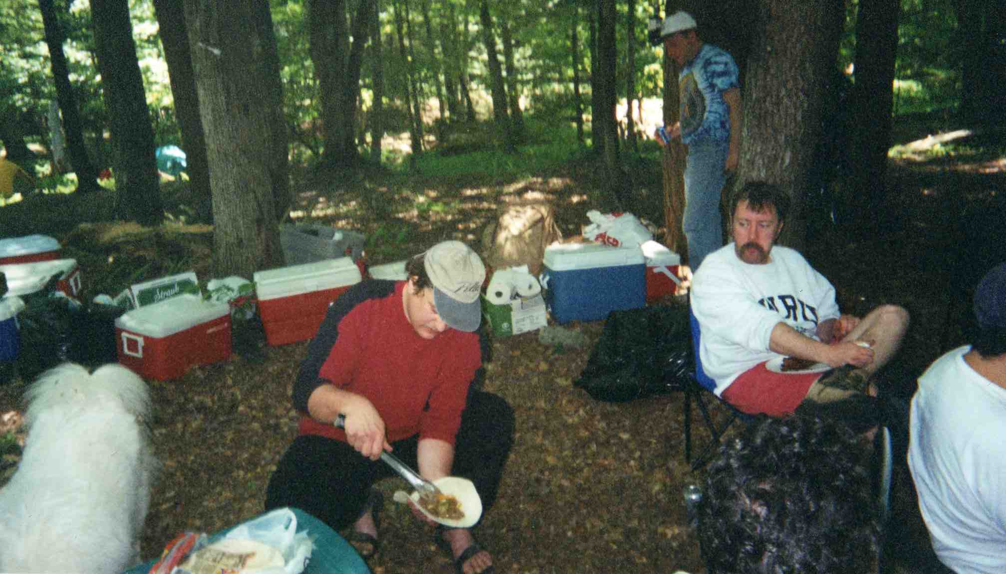
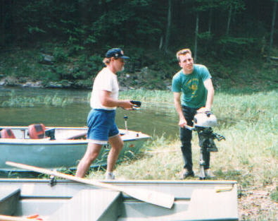
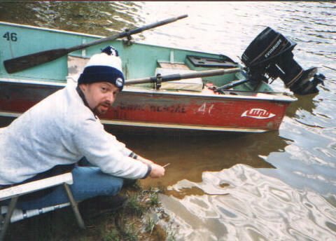
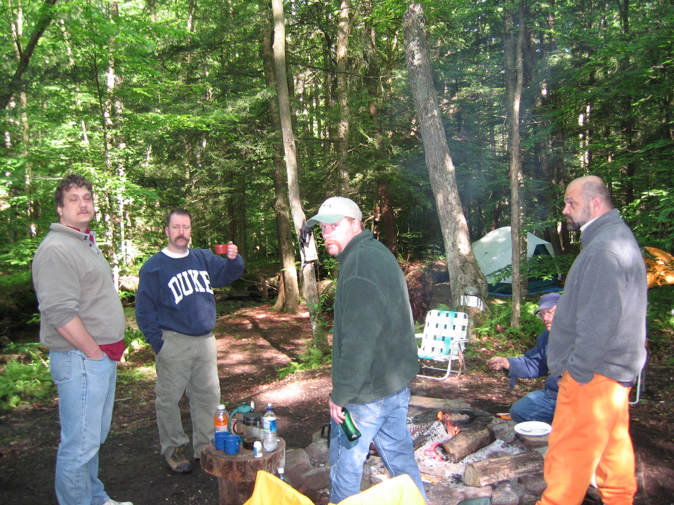
This year's 2008 camping trip will be held on JUNE 5TH THRU JUNE 8TH, The location is the same as last years; which is GENERALLY NEAR the southern end of the Allegheny Resevoir. On the links provided on this page you should go to the first one which is an interactive map of the region and this will help you find our campsite.
First, you must find Route 321- This road connects Rt. 59 to Kane Pa. If coming from the north from Rt. 59, Turn on to Route 321 and Drive about 9 miles South (towards Kane) on Rt. 321 until you pass Redbridge Campground (which is on your right). Drive several hundred yards beyond this landmark of Redbridge Campground, then turn left onto Forest Road 122 (it's a dirt road-If you cross over the resevoir on "redbridge" you have gone too far).
Last year there was confusion over the exact number of this dirt road but screw it: Just turn on this goddam road that is between redbridge campground and the actual "redbridge"...!
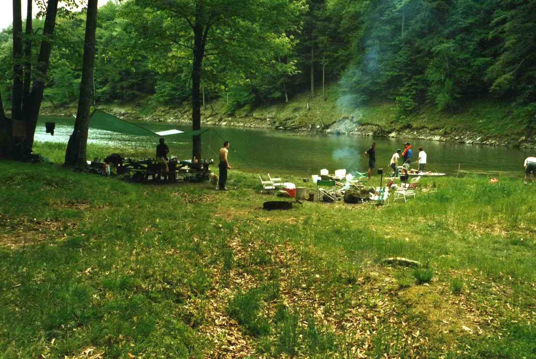
Drive on this first dirt road for 1.4 miles until you hit a stop sign. Turn right at this stop sign and this is Forest Rd. 150- drive on this road for about 4.6 miles. Our campsite is on the left at this mileage marker and you will see a small road on the left to turn directly into our campsite which is specifically located on Mead Run. We will post a sign on a tree at this turn off point on your left.
If coming from the south on Rt 321 from Kane, Pa., Turn right onto Forest Road 122 after you cross the Allegheny Resevoir (If you pass Redbridge Campground on your left, you have gone too far). Drive on this road for 1.4 miles until you hit a stop sign and make a right onto forest Rd. 150 and drive for 4.6 miles until you see the left hand turn off. Our exact spot is where Blacksnake Run crosses Mead Run. |
