The
Mountain Cedar Pollen Forecast
SATURDAY / SUNDAY
Metropolitan Area |
Exposure Risk |
|
Dallas/Fort Worth |
Moderate / Low |
|
|
Moderate to High / High |
|
|
Moderate to High / High |
Date Issued: 17 January 2009
Mountain Cedar Location(s):
Regional Weather: Saturday and Sunday, Jan 17 and 18. TX/OK: A weak frontal system is moving
through northern
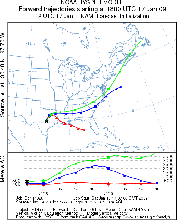
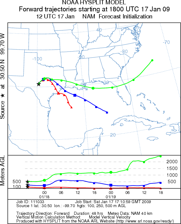
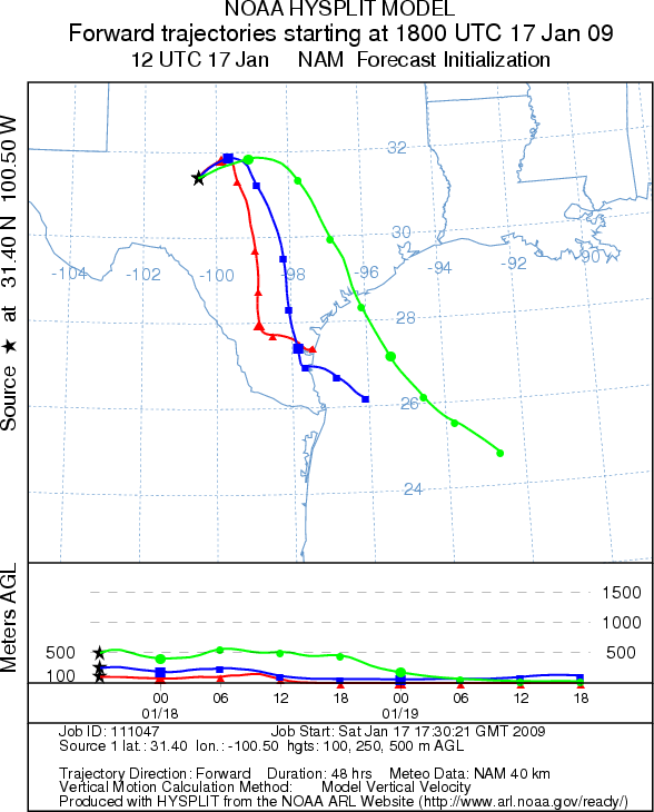
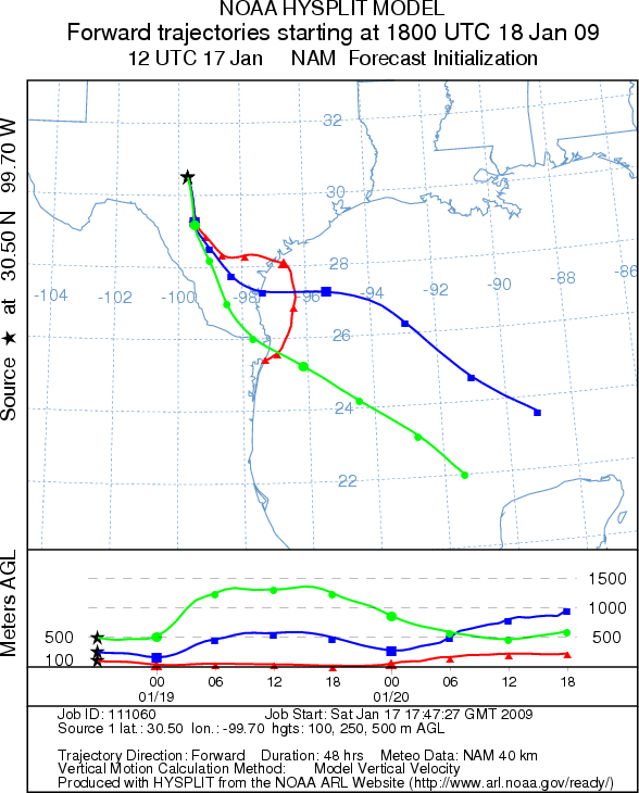
Trajectory weather: Today the air
mass trajectories from Edwards Plateau initially move to the northeast but then
shift to the east and southeast under the influence of the frontal system
moving into the state. The trajectories show mixed characteristics for
downwind travel. Conditions at the source areas will be mild today with
temperatures in the 60s although in some areas humidity is running a little
high. The trees are near the peak of the pollen release season therefore
pollen release should be expected. Sunday’s trajectories move to the
southeast but show poor conditions for downwind transport. Conditions will
remain mild tomorrow with temperatures in the upper 60s at the source areas.
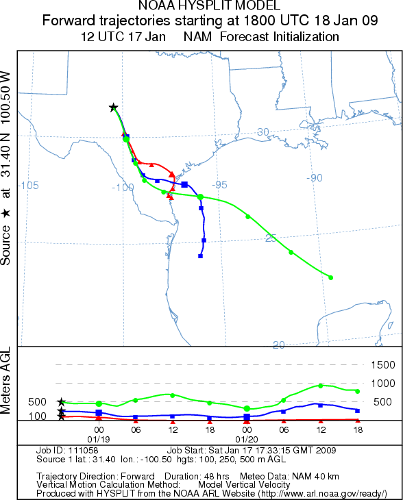
OUTLOOK: *** Moderate
to High Threat today and tomorrow *** Good conditions
for pollen release although a chance of drizzle in some areas today may limit pollen
release. Partly to mostly cloudy conditions with mild temperatures
will occur today. Winds will shift from the southwest to the northwest as a
weak frontal system moves through the region. Pollen released today will travel
to the east for a moderate to high threat. Characteristics for downwind travel
are not ideal so much of the pollen will remain close to the source areas.
Tomorrow’s trajectories travel to southeast but most of the pollen will
remain close to the source area with poor transport conditions.
Trajectory Start (s) (shown
by * on map):
SATURDAY
JUNCTION
EDWARDS PLATEAU COMPOSITE
SUNDAY

JUNCTION
Prepared by: Estelle Levetin (Faculty of Biological Science, The
University of Tulsa,
Questions: Aerobiology Lab e-mail: [email protected]
Return to Forecasting Home Page