


Our trip to Oroville, California was a really nice, relaxing trip!
| Start of our trip. Here is a view of the low hills near Livermore. We're heading East. This is our usual route out of the SF Bay. |
|
|
|
| Looking north toward Hayward and Mt. Diablo. | |
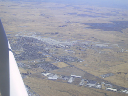
| Stockton Airport |
|
|
|
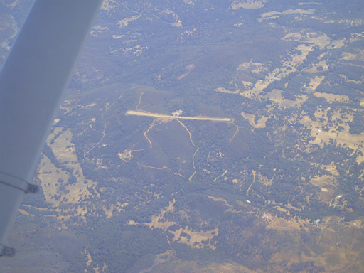
| A private dirt strip (Alta Sierra), good place to land! | |
|
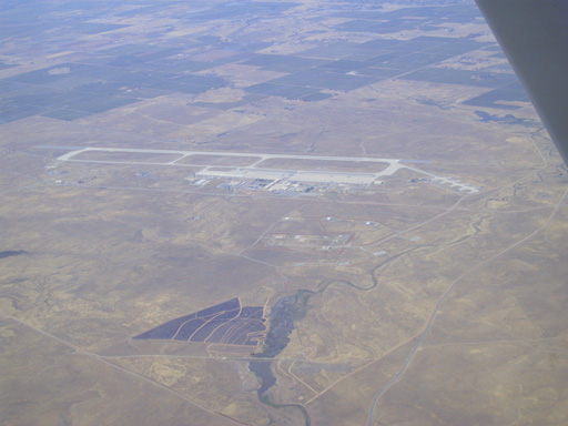
| Beale Air Force Base. There were two big ones on our route. | |
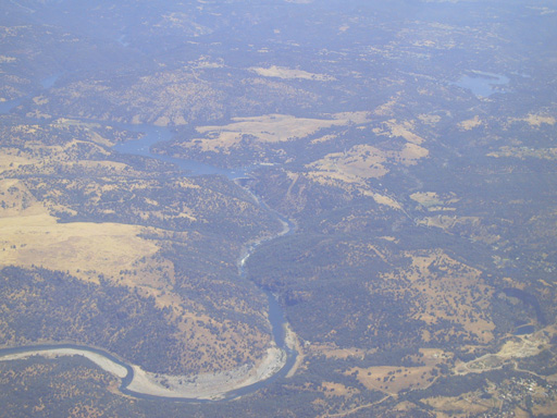
| A very big, cool looking dam, if you can see it! |
|
|
|
| Another land (er water) mark along our trip. :-) | |
| Oroville, we finally hit Oroville area. The waterways and reservoir were beautiful. |
|
|
|
| The very big, and busy reservoir! | |
|
| The airport in the distance, can you see it? | |
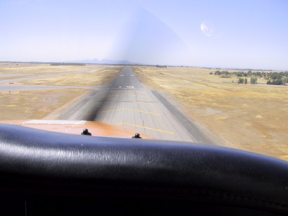
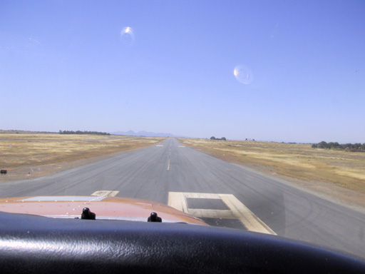
| Oroville Airport approaching runway 19. |
|
|
| Landing on runway 19. |
|
|
|
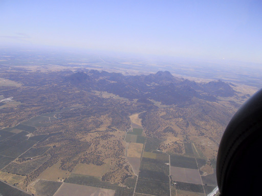
| The Sutter Buttes. Very nice, big "hills" in the middle of the valley. | |
| Travis Air Force Base. A very big, awesome looking base. We flew right next to it, I think it was OK. |
|
|
|
| The dead shipyard near Benicio Bridge (Vallejo way). | |
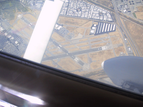
| Concord airport (Buchanan airport really) it is right near Mount Diablo. |
|