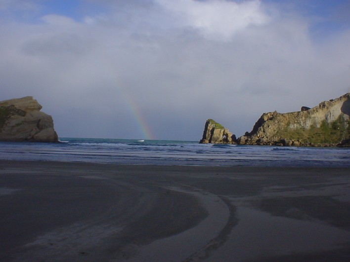
I shall begin before the start of the
actual tour: my family took my friend Vincent from France to
Castlepoint. I don't know how his photos turned out because they aren't
developed yet but this one turned out really well. Pity about the
rainbow: digital cameras have different phosphors from the human eye.
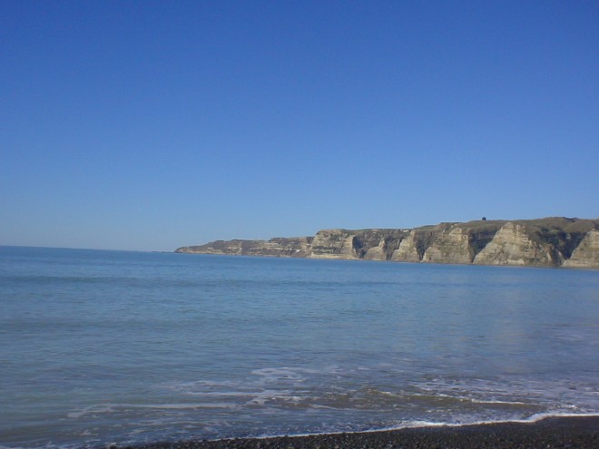
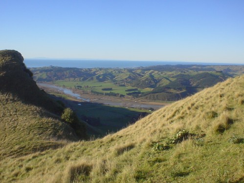
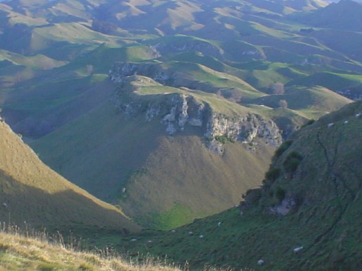
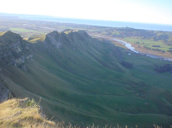
A few days later Vincent and I with the encouragement of my parents decided to take my car and head North to see what we might see. The three photos were taken at Cake Kidnappers which is south of Napier. There is a gannet colony there but we couldn't go there because the tides were wrong and we didn't want to swim.


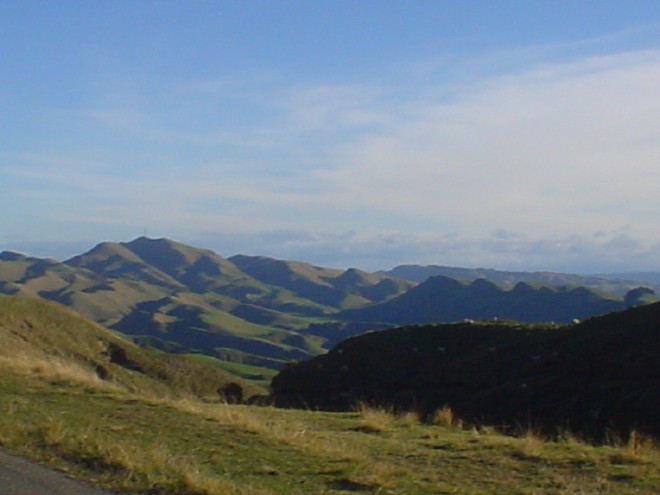
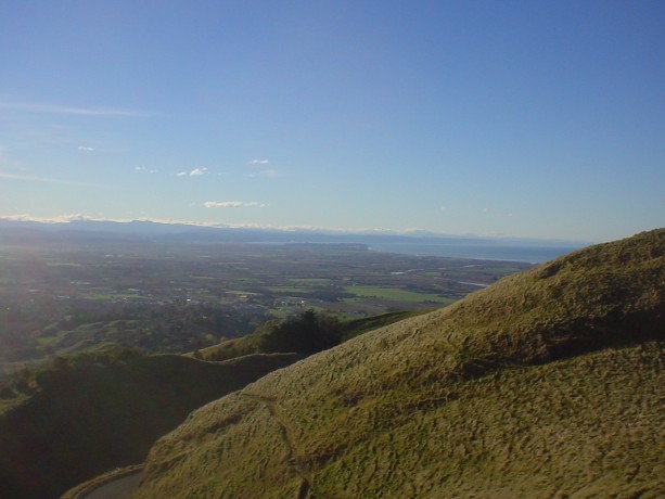
The next five photograps are taken from
nearby Mata Peak (check with your local iwi for pronounciation of 'Mata' and other Mäori words).
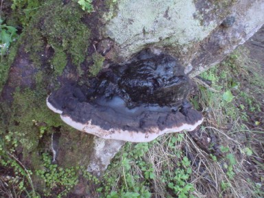
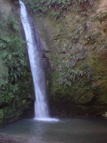
The next day we went to Gisbourne but on
the way we stopped to look at a waterfall whose name I can't remember
and on the way from the highway to the waterfall I photographed this
fungus.
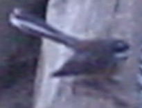
The first thing we went to see in Gisbourne was the Eastwoodhill Arborettum where I took the next twelve photos (all the photos until and including the fantail). Most of the trees here are introduced species.


Ok I know it was June but in New Zealand that makes daffodils way out of season. Didn't stop this hardy specimen though.

I know there are cicadas in Australia. Someone please let me know if they're in other countries as well.


The afforementioned fantail.
This is on the beach at Gisbourne. It's the shell of a recently deceased creature next to a rock full of fossilized shells which are probably millions of years old.

Gisbourne is somewhere in this photo.

The next five photos are of Lake
Waikaremoana("water stream ocean" for those with worse Mäori than
mine). Need I say more? The vegetation is all native. I love it. My car
broke down here because it had suddenly lost all its oil. Fortunately I
had enough in my spare bottle to get to the motorcamp.


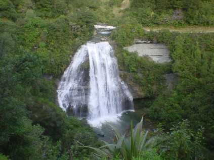
This waterfall is part of one of the
tributaries to Lake Waikaremoana We had crossed the bridge in the
photograph a few minutes prior to this photograph being taken,
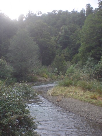
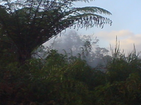
A river on the other side of the mountains where Lake Waikaremoana is located.
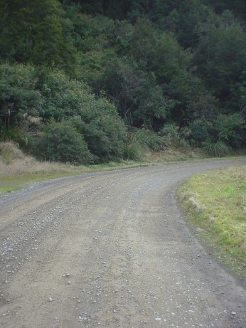
New Zealand's state highway 38.
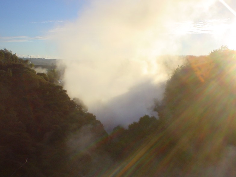
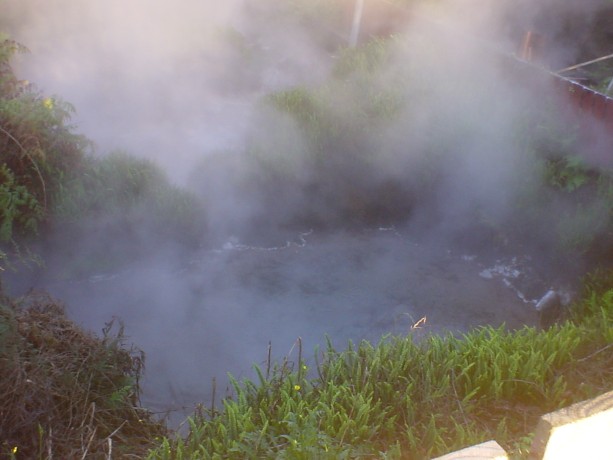
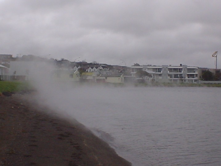
Steam coming from a hole in the ground between the site of the previous photo and Taupo.
Ditto
A beach at Lake Taupo. It's really hot.
This lake is the same size as Singapore and was created by a chaldera
type volcanic explosion five times as violent as Krakatoa (sure it
didn't knock over half the island like Krakatoa did but considering the
size of this island it made a good effort).
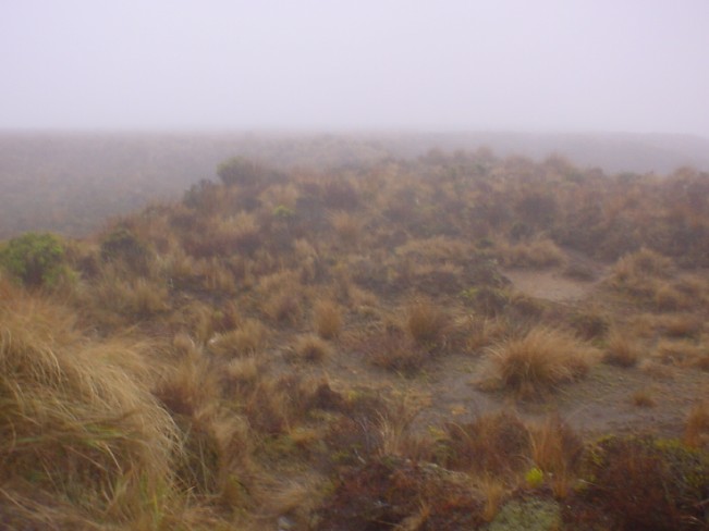
The great New Zealand desert. There was
a forest here until Lake Taupo erupted. Now all that's left of the
trees is a layer of ash and no more trees will grow because the soil is
too rich.
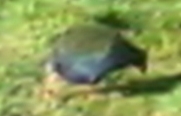
The next two photographs are very bad
photographs of Takahe. This bird is related to Pukeko or water hens and
was thought to be extinct until someone found a few in Fijordland in
the 1890's

This ends this exhibition and my road tour with Vincent.
My car is still recovering from the drive through the mountains round
Lake Waikaremoana: I've just had the fuel filter replaced as a farily
direct result and it doesn't idle properly anymore. It broke down again
on the way to dropping Vincent off at the airport.
[Back]
[Back]