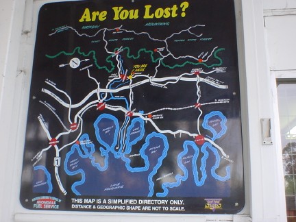
The first photo taken on my little trip.
It's the map of the whole Cooranbong area with the Wattagans National
Park at the top and Lake MacQuarie at the bottom. (If you happen to own
the petrol station where I photographed this map: I am a cyclist so I
didn't buy fuel from you but I have bought sandwiches from you)
Forest near the edge of the park.
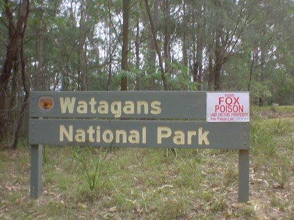
The welcome sign.
This little feature somehow manages to crack me up every time I see it.
Back home in New Zealand we only use 1080 to kill possums but sometimes
it kills dogs by mistake.
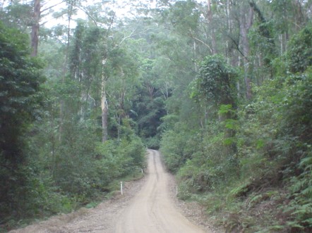
I'm not used to seeing vehicle tracks in national parks.
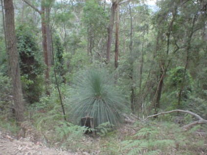
I quite like this one and the following ones. The native forest in New
Zealand looks similar but has no gum trees or palms and has more tree
ferns and has something called cabbage trees which are actually lillies.
Cabbage trees actually look a lot like this but are not actually in the same family.
In New Zealand we have introduced gum trees but they aren't this shape. I like this one though.
Fortunately for me this sign is stil pointing roughly the same way it
used to point. I suspect that's more good luck than someone's goodwill.
The Gap Creek Falls, I took a few photos here before turning round. It's very pretty but there isn't much water.
I would have taken more photos on the return trip but unfortunately the
overhead clouds were beginning to thicken and everything was just
better lit on the way there. I tried to photograph a lyre bird
which I saw but not enough light was reaching the ground through the
clouds and the really thick canopy.
If you decide to go there yourselves: from Sydney head north on the F1
until the Morriset/Cooranbong exit then follow Freemans Drive past
Cooranbong then take the last left before the overpass over F1. This
will take you to the Wattagans National park. Once in the park take the
left fork if you wish to see the falls.
The drive is about 100 kilometers from Sydney, the walk takes about three quarters of an hour each way but is quite tiring.
Good luck!
[
Back]