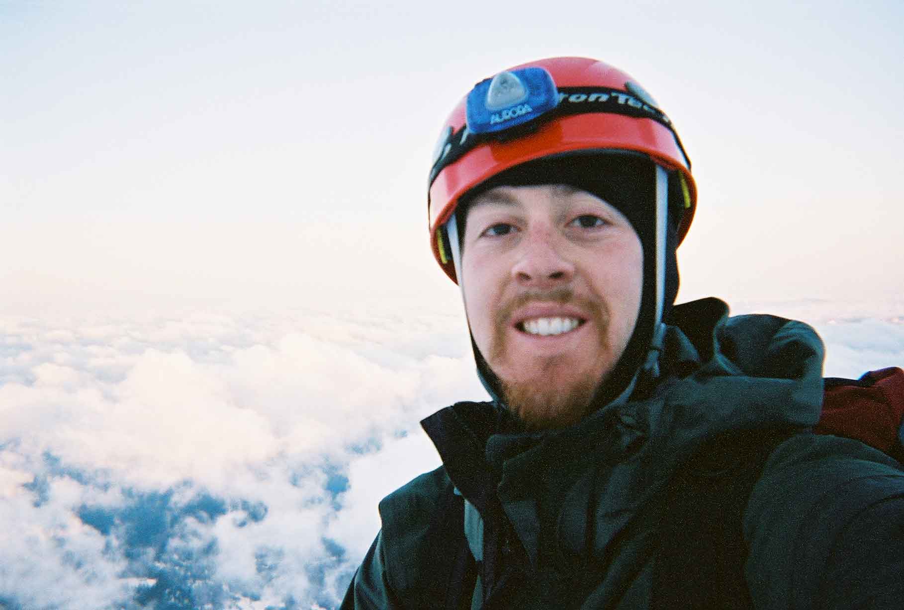
Hiking with crampons and an ice ax was very exciting. I was able to glissade down the mountain from just below the Red Banks. Overall, this was one of my best times in the mountains!


| Mt. Shasta | ||||||||||||||||||||||||||||
| Click here for a live cam of Mt. Shasta | ||||||||||||||||||||||||||||
| One June 20-22, 2003, my backpacking buddy (Terry) and I embarked on the 10 hour drive from Los Angeles to Shasta, California. Mt. Shasta is a dormant volcano and the second highest mountain in the Cascade Range. It stands 14,162 feet high and was still covered in snow when we hiked it. We started our hike at Bunny Flat (6,860') and made our way to Lake Helen (10,443') where we spent the night. We then woke up at 3:00 AM to reach the summit with plenty of time to spare. I reached the Summit at approx. 10 AM and returned to Lake Helen camp at 1:00 PM. Hiking with crampons and an ice ax was very exciting. I was able to glissade down the mountain from just below the Red Banks. Overall, this was one of my best times in the mountains! |
||||||||||||||||||||||||||||
|
||||||||||||||||||||||||||||
|
||||||||||||||||||||||||||||
|
||||||||||||||||||||||||||||
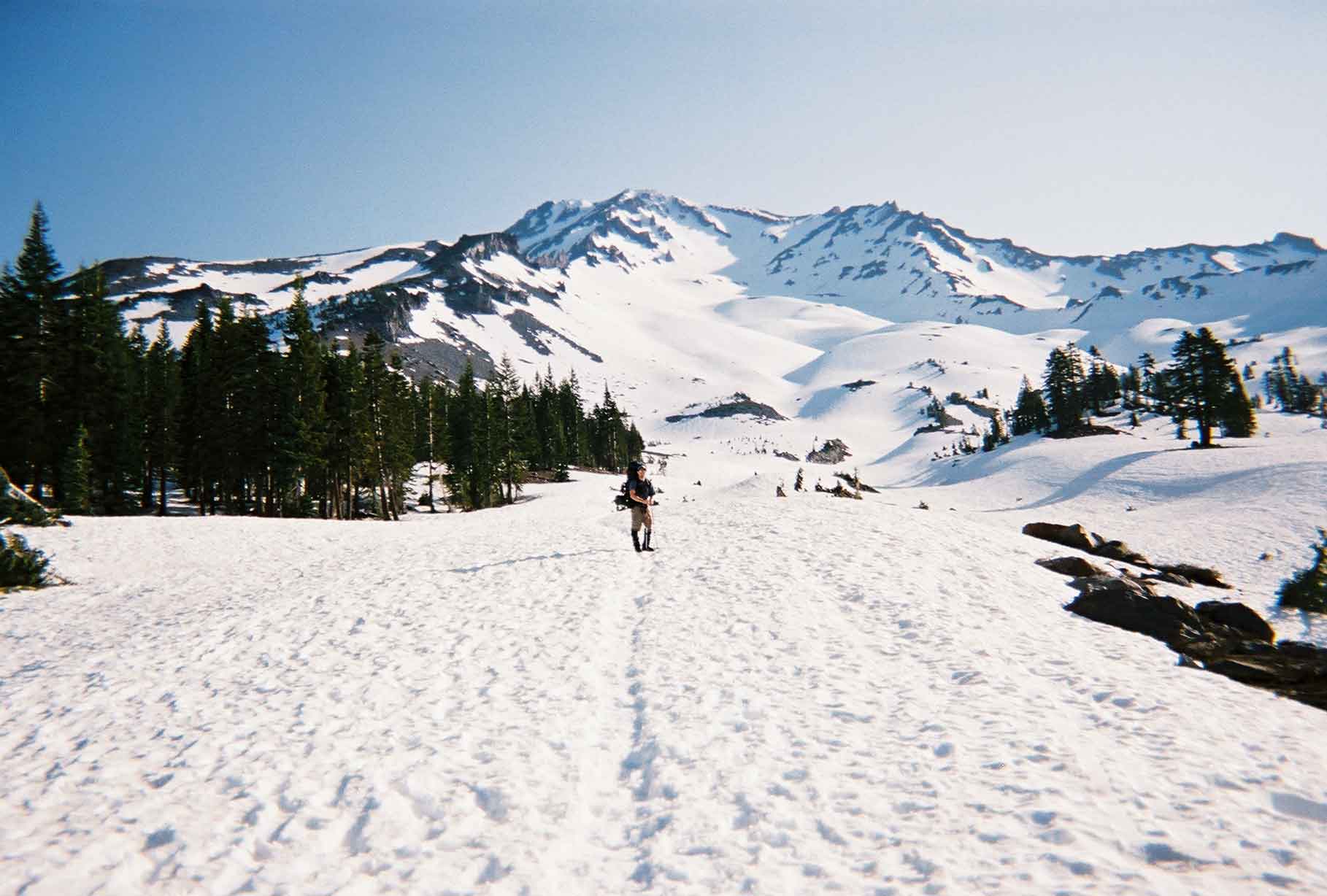
| Although you can't see the actual summit from this photo, it gives a great overview of Avalanche Gulch. | ||||||||||||||||||||||||||||
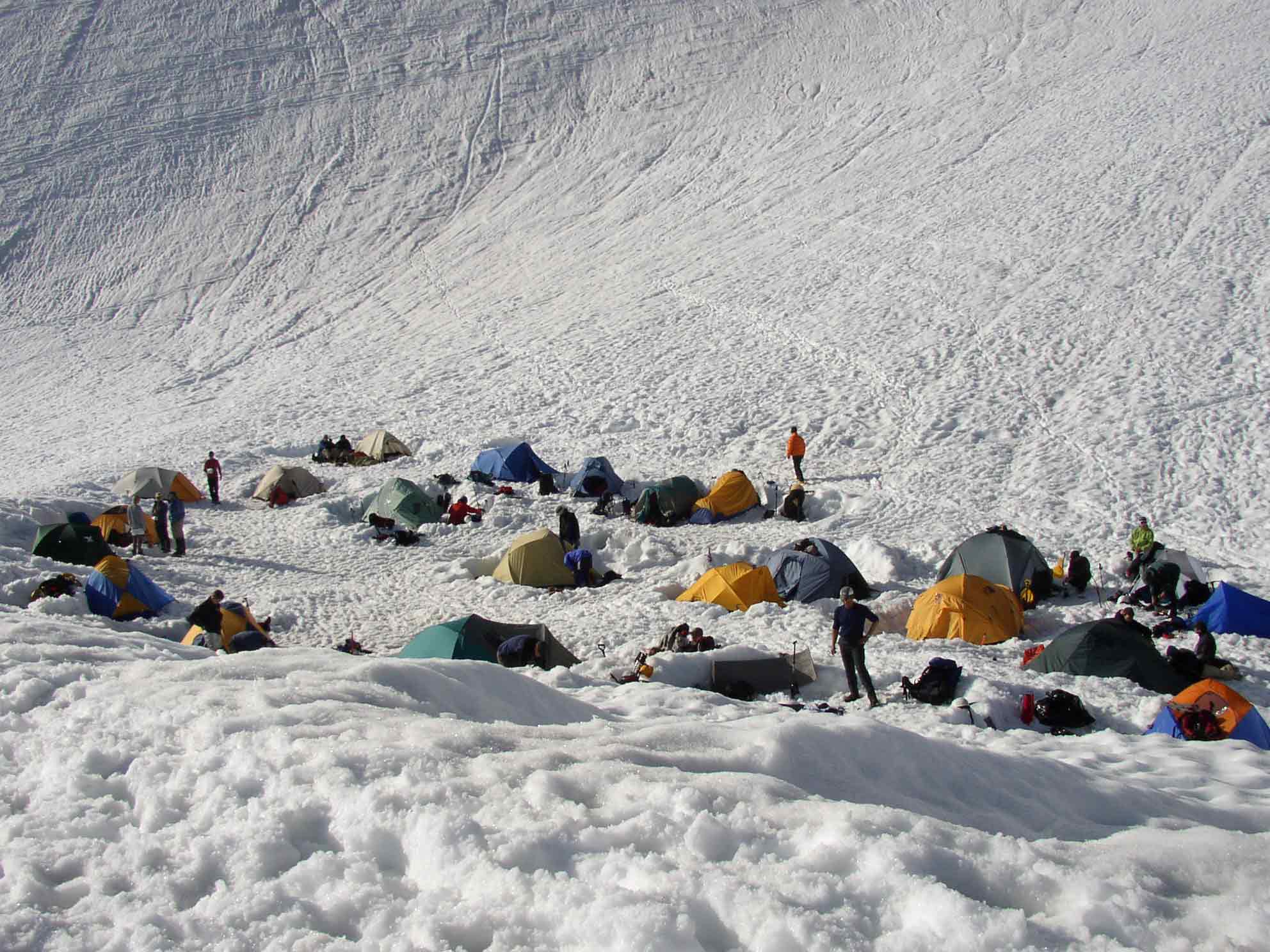
| Base Camp at Lake Helen | ||||||||||||||||||||||||||||
|
||||||||||||||||||||||||||||
|
||||||||||||||||||||||||||||
| These two pictures of taken from Lake Helen up towards the Red Banks. You can see the line of people hiking up on the picture on the right. This section of Shasta gets real crowded on the weekends...I am glad we summited the day before when there were many less people | ||||||||||||||||||||||||||||
|
||||||||||||||||||||||||||||
| Still going up... | ||||||||||||||||||||||||||||
|
||||||||||||||||||||||||||||
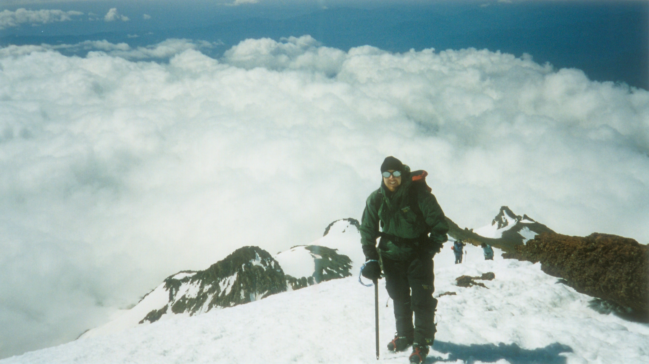
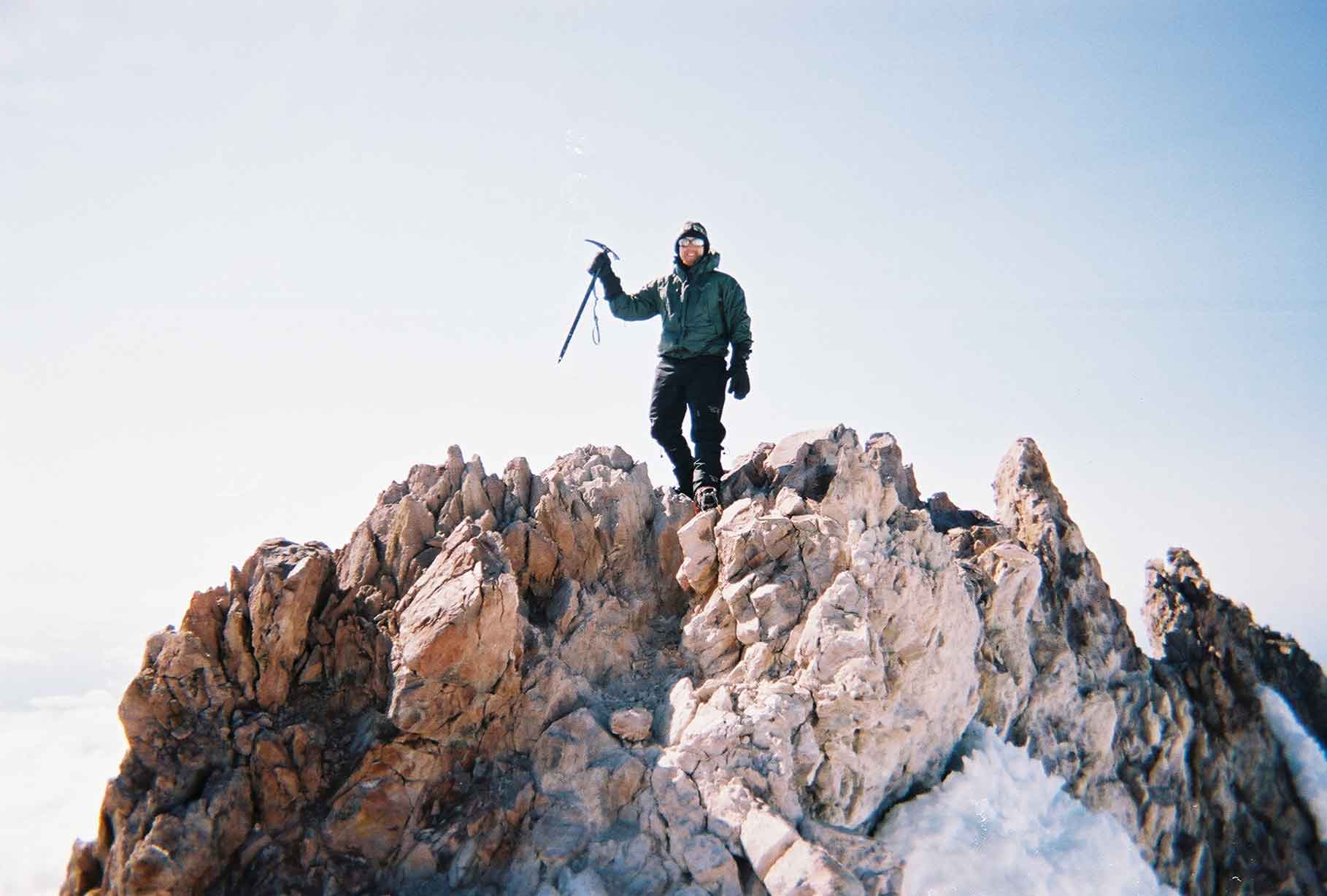
| The Summit! | ||||||||||||||||||||||||||||