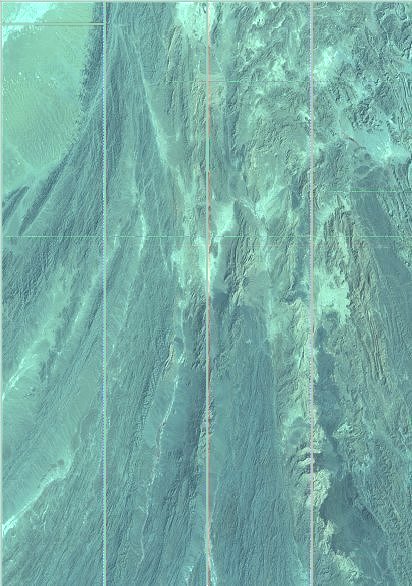
Original images at the university are mostly 30MB and more in size so that these samples are highly degraded.
Most images cover an area of approx. 185 miles square.
Geographic data is in Path and Row number, which will hopefully be converted into long/latitude in order to search more easily.