Go to page 3
Southbound, Finally -Two
Monday 11 October arrived at Beaufort, NC
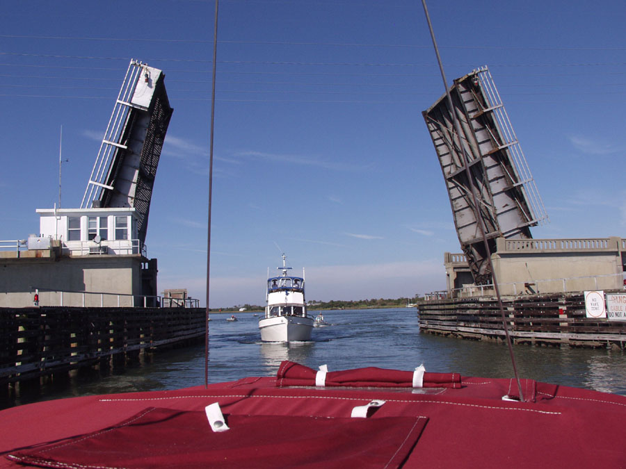
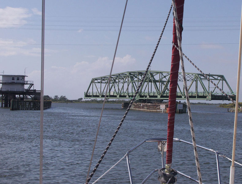
Here's our first drawbridge. It's across Gallants Channel which leaves the ICW at around mile 202
and takes boats into the Beaufort, NC area.
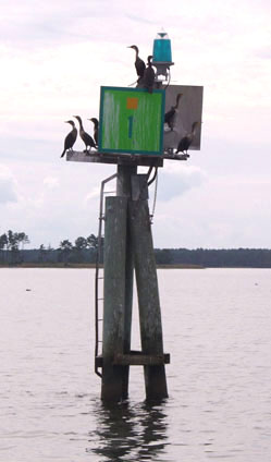
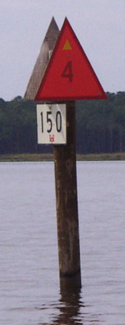
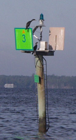
Now, here are three pix of ICW marks. Other than the birds, do you notice anything unusual on any of them?
|
Bridges and other tall things
We passed through the Onslow Beach Bridge at Camp LeJeune on Tuesday 12 October. We just missed the 1530 opening and had to wait till 1600.
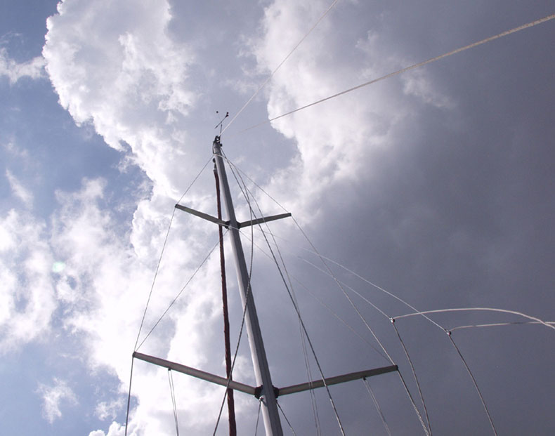
Here's our 45 foot tall mast meeting up with one of the 20 or so 65 foot clearance bridges. Sure looks a lot closer than it actually is.
Thursday held a promise of rains and possible storms, but we were lucky. We only had about ten minutes of driving rain from this cloud, which then left us a clear blue sky
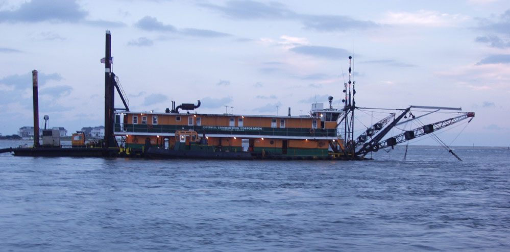
Our most harrowing experience to date was passing through, or trying to pass through Lockwoods Folly. We got so-called "local knowledge" and followed it right onto shoals three times. We then turned around to gather our thoughts and waited untill another boat came through safely by following correct information. We made it wiithout further incident.
Here's the dredge that thanks to a lot of letter writing and calling by boaters and the AIWA (Atlantic Intracoastal WaterWay Association) was digging out the channel.
Claiborne Young of Waterway Guide fame also was effectively involved.
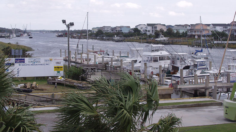
We docked at Holden Beach Marina at Mile 322.3 Thursday evening late, and decided on a layover day Friday 15 October due to high winds and rain storms moving through.
This picture of Holden Beach was taken around 2:00 pm and you can see the weather has improved. And.. here are the tops of our first palm trees!!
Go to page three
