.TOURING
COLORADO GEOLOGY
|
|
.TOURING COLORADO GEOLOGY |
|
|
|
||
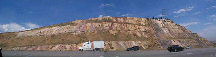 |
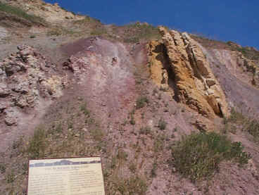
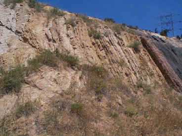
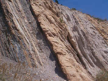
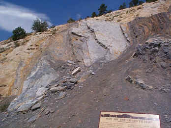
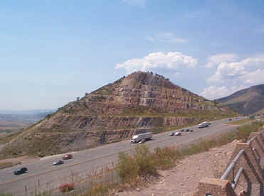
| This roadcut on I-70 just west of Denver is a great exposure of the Morrison Formation and Dakota Group. Its been "visitorized" with a nice path, guardrails, information signs so people can walk along and find out a little bit about the rocks. Its also on both sides of the road for twice the amount of fun. The information on the signs is very watered down with very little technical information and leave out lots of interesting information about the rocks. |
| The cut above is on the north
side of I-70. It was exposed in 1971 when I-70 was being
constructed. The left half (west) of the exposure is the Morrison
Formation (Upper Jurassic) while the right half (east) is the Dakota Group
(Cretaceous) consisting of the Lytle and South Platte Formations. At
the very, very right although not well expressed in this cut would be the
Benton Formation.
The railing consisting of concrete posts and steel cross-members make for nice reference points. Even though they are not numbered, if you count as you go along, you can use these to reference the following pictures. By the way, there are 78 posts on the northern cut. |
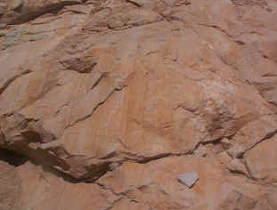
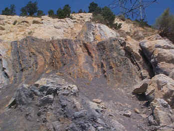
 Post 28. Morrison Formation |
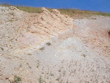
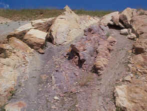 Post 31. Basal Lytle Formation. The contact between the Morrison and the Lytle just to the left of this photo represents an unconformity with a hiatus of about 20 million years |
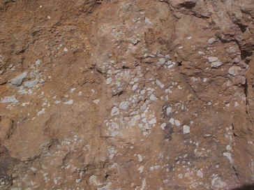 Post 32. Lower Lytle Formation. The rocks are medium- to coarse-grained sandstones with occasional intervals of clay clasts (probably kaolinite) as seen above. |
 Post 39. Lytle Formation. The Lytle Formation is the lower part of the Dakota Group. It is interpreted to be deposited as part of a major fluvial braided channel. It is completely non-marine with no indigenous fossils. |
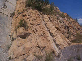
 Post 46. Lytle Formation |
 Post 51. Plainview Sandstone of the South Platte Formation. These sandstones are fine-grained with some cross-bedding and burrows. |
 Post 55. Upper Plainview Sandstone and Lower Skull Creek Interval. This upper part of the Plainview shows some interbedded carbonaceous shales and claystones. |
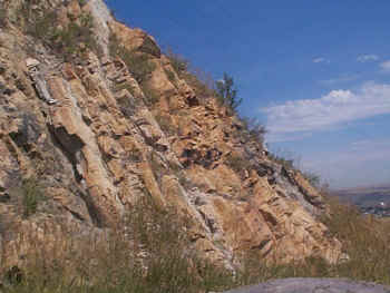
 Post 56. Contact between Plainview Sandstone and the Skull Creek Interval. The Skull Creek shale is marine. The dark gray shale interval possibly represents a condensed section with high organic content and occasionally fossils (Inoceramus sp.). |
 Post 60. Skull Creek Interval. |
 Post 64. Skull Creek Interval |
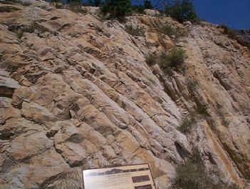 Post 70. Kassler Sandstone showing some cross-bedding. |
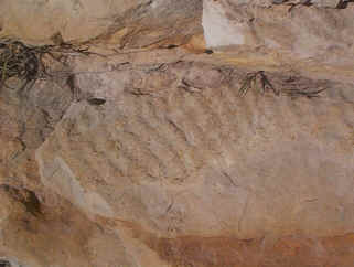 Post 71. Ripple marks in the Kassler Sandstone. |
 Post 72. Kassler Sandstone and Van Bibber Shale |
 Post 73. Kassler Sandstone and Van Bibber Shale |
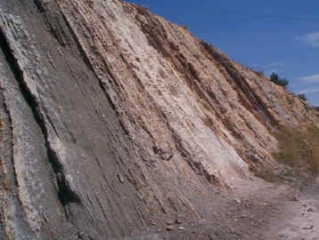
 Post 74. Van Bibber Shale |
 Post 77. Van Bibber Shale and overlying sandstone. |
 Post 78. The end of the cut. Sandstone. Benton Formation would be exposed off the end of this exposure. |
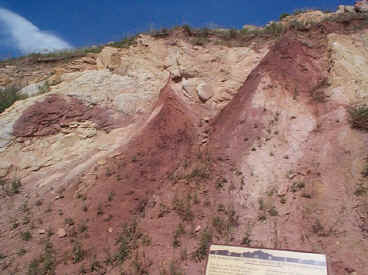
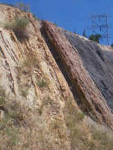
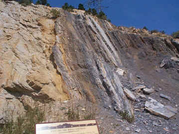
 The south cut as seen from the east end of the north cut. |
| For more information, check out: | |
| LeRoy, L. W. and R. J. Weimer, 1971, Geology of the Interstate 70 Road Cut, Jefferson County Coloardo: Colo. Sch. of Mines Prof. Cont. 7. | Weimer, Robert J., 1996, Guide to the Petroleum Geology and Laramide Orogeny, Denver Basin and Front Range, Colorado: Colorado Geol. Survey, Bull. 51, 127 p. |
| July 6, 2001 |