Eagle Creek Recreation Area Photo Gallery
The Eagle Creek Recreation Area, established in the 1910's, is near the city of Cascade Locks on the Columbia River Gorge. This is a very popular trail due to the incredible scenery and its proximity to Portland. I haven't gone past the 4 mile mark (one way), but you can go as far as 13.3 miles (one way) to Wahtum Lake. Some of these were taken in July 2001 and others were taken over the Thanksgiving weekend of 2001. Through this and the next 2 photo galleries I arrange the photos in order as you walk further from the trailhead. Because of this, pictures taken on the hike in and on the hike out are mixed up. The gorge is to the right of on the way in.
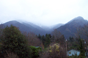
This picture was taken in November from outside my hotel room in Cascade Locks. It's too bad it's so pixely because the view was awesome!! You can't tell, but there is snow on the mountain tops. The Eagle Creek Trail begins about 2 miles to the west of here.
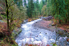
This is Eagle Creek near the trailhead. (November)
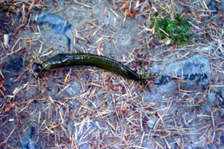
This is a slug that I encountered in July.
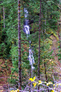
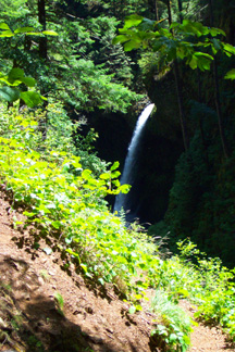
This is Wauna Falls which is 1.1 miles from the trailhead. I don't know how tall this one is. (November)
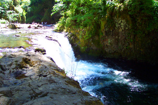
This is Metlako Falls at 100-150 feet tall (depending on the season) it is the highest falls along the trail. It is located about 1.5 miles from the trailhead. (July)
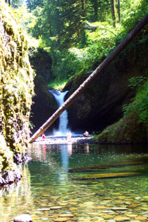
This is a ground level view of Punchbowl Falls from a short side trail that forks off 2.1 miles from the trailhead. Getting unobtructed close ups requires a swim. Punchbowl Falls is about 20-40 feet tall . (July)
This is Lower Punchbowl Falls which is down river from Punchbowl Falls and is also visible from the side trail. It is 10-15 feet tall. (July)
back to my home page