Brookings Area Photo Gallery
These are pictures taken around the town of Brookings on the southern Oregon coast. The beaches on the southern coast are very rocky, and the south coast is less crowded than the rest of the coast. For a map of the southern coast, Click Here
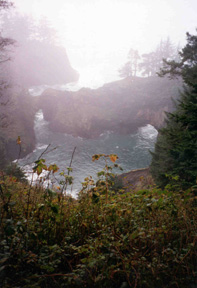
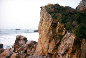
This was taken at Samual H. Boardman State Park which stretches along 11 miles of coastline to the north of Brookings.
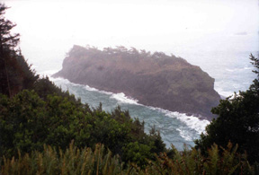
This is Spruce Island at Samual H. Boardman State Park. Brookings is in the Banana Belt; the average rainfall is 75 inches a year. The average high temperature for the year is 61 degrees, and the average low temperature for the year is 46 degrees.
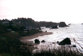
This is Harris Beach state park and the far north part of Brookings.
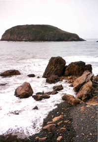
This is Goat Island at Harris Beach State Park. I have no clue how it got that name.
This is also Harris Beach State Park.
Here are links to Web sites about the southern coast of Oregon.
Southern Coast Recreation
Southern Coast Guide to Recreation
Oregon Coast Alternative Guide
back to my home page