HAND DRAWN MAPS
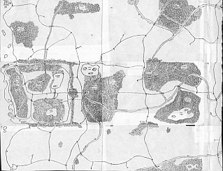
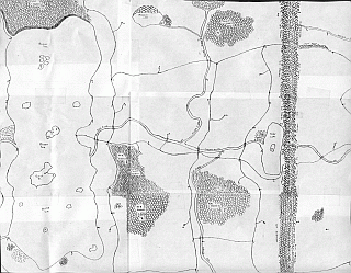
Well-met! The above pieced together map was done in the following manner.
Each section was drawn on a 12" x 18" sheet of paper, reduced to 81/2" x 11" with a copier, then scanned into the computer.(Oops! The ones for this map was reduced to the size of index cards, the excess paper cut off and then pieced together and taped. I then scanned these in by sections. There is a third section, but the size turned out weird and I have to work on it before adding it here to the eastern edge of the map.
I'll be using this as the basis for my world map.
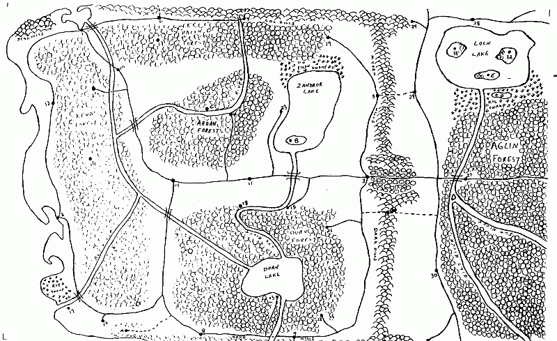
This is the hand drawn map I did of the Kendror Region. Originally on a 12" x 18" sheet of paper, reduced by copier to 81/2" x 11" size and scanned in. I most definitely prefer how it looks after doing it in CC2!