Bitterroot Mountains, Montana
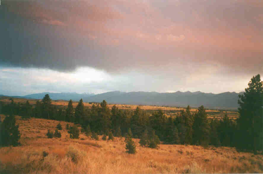
The Bitterroot Mountain Range stretches from just west of Missoula to Lost Trail some 70 miles south. The range consists of igneous, metamorphic, and a few sedimentary rocks as well. The eastern edge of the the Idaho Batholith borders the Bitterroot Range. The Saphire Mountain Range to the east is actually the top of the ancient Bitterroot Range. Extension caused the top to flow off to the east, thus creating the Bitterroot Valley and exposing a mylonite zone about 1/2 mile thick. It's a pretty nice half graben that is filled with sediment consisting of stream rounded cobbles and gravel. Nearly 1700 feet of the ancient valley has been filled. Defunct alluvial fans reach toward the Bitterroot River from east and west although alot of the cobbles are actually moraines left from heavy glaciation. Glacial Lake Missoula shorelines can also be seen in many locations in the Bitterroot Valley.