We get
under way although the river is still low, less than 1,000 CFS.
The river winds through a lot of Wyoming cattle country. The land
around is flat with cottonwood trees growing here and there in
groups. We have USGS land use maps but they are perhaps not
detailed enough or we are just struggling to find landmarks.
Figuring out where you are on river guides is usually pretty easy as the
features of canyons are obvious and the detail is higher. We are
constantly trying to determine where we are so that we can find places
to sleep at night that are not on either private or patented land.
We use bridges as landmarks on the map.
We also use bridges as campsites.
Our thought here is that a bridge represents a public right of way and
so the land under it must be public. That's our thought - don't
know if it's 100% legally correct. But at least two nights we
stayed under bridges early on in the trip in Wyoming. Both nights
were cold and the bridge cooled and contracted causing banging and
clanging sounds that make you wonder if the bridge is about to fall down
and that keeps you awake. In addition, one of the bridges was on
the way to a gravel operation and so gravel trucks passed by at regular
intervals.
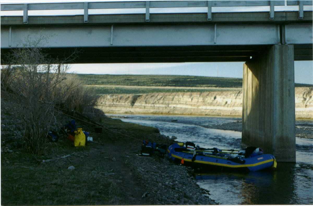
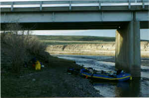 To
the right here is the first bridge campsite. You can probably make
out a path leading toward the bottom center of the photo. This was
the cow trail. When we pulled up to set up camp there were no cows
but as we prepared dinner, a cow poked his head out of the scrub on the
other side of the bridge. You could tell the cow was just
baffled. It looked at us for 30 seconds, a minute, then turned and
walked away. Perhaps he just wasn't sure of what we were and he
definitely hadn't expected us. He returned several times and went
away. Finally, we finished dinner, cleaning up and put the tent up
and went inside. As we lay there, the sunset and we're dropping
off to sleep, we here the heavy footsteps of a cow making it's way
between us and the river. We are too close to the trail for the
cow to feel comfortable on it, so he is moving along the cobbles and
knocking a few into the river. We can't see the cow or how close
he is, but it seems as though he'll step on us any minute. He
doesn't and we sleep amid the clangs and pops and noises of the
bridge. Next morning we are up and on our way.
To
the right here is the first bridge campsite. You can probably make
out a path leading toward the bottom center of the photo. This was
the cow trail. When we pulled up to set up camp there were no cows
but as we prepared dinner, a cow poked his head out of the scrub on the
other side of the bridge. You could tell the cow was just
baffled. It looked at us for 30 seconds, a minute, then turned and
walked away. Perhaps he just wasn't sure of what we were and he
definitely hadn't expected us. He returned several times and went
away. Finally, we finished dinner, cleaning up and put the tent up
and went inside. As we lay there, the sunset and we're dropping
off to sleep, we here the heavy footsteps of a cow making it's way
between us and the river. We are too close to the trail for the
cow to feel comfortable on it, so he is moving along the cobbles and
knocking a few into the river. We can't see the cow or how close
he is, but it seems as though he'll step on us any minute. He
doesn't and we sleep amid the clangs and pops and noises of the
bridge. Next morning we are up and on our way.
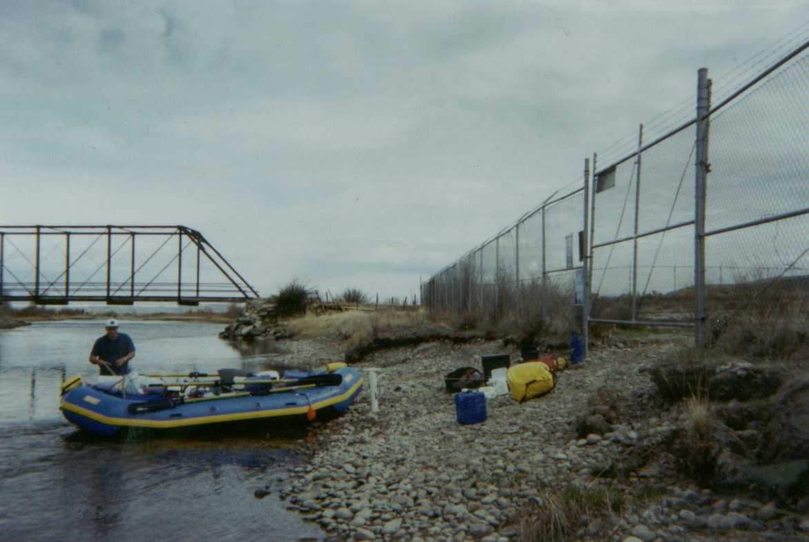
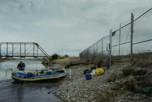 A
bit further down, we are again unsure of where on the map we are but we
see a tiny square that is color coded to indicate state land.
That's what we are shooting for. It's just below a trestle bridge
on the river left. As we float toward it, we see it. It's
surrounded by a fence surmounted with barbed-wire. It must be the
state land. We approach. It's late in the afternoon and we
are tired. There on the fence are signs clearly indicating no
overnight camping. We face a choice break the rules or float on
and land somewhere which may or may not be public land and which will
likely bother free roaming cattle regardless. We opt to stay
here. A man on a quad-runner approaches the fence and we explain
our reasoning - mostly that we don't want to bug the cows. He says
just don't have any fires. We agree to that condition and thank
him.
A
bit further down, we are again unsure of where on the map we are but we
see a tiny square that is color coded to indicate state land.
That's what we are shooting for. It's just below a trestle bridge
on the river left. As we float toward it, we see it. It's
surrounded by a fence surmounted with barbed-wire. It must be the
state land. We approach. It's late in the afternoon and we
are tired. There on the fence are signs clearly indicating no
overnight camping. We face a choice break the rules or float on
and land somewhere which may or may not be public land and which will
likely bother free roaming cattle regardless. We opt to stay
here. A man on a quad-runner approaches the fence and we explain
our reasoning - mostly that we don't want to bug the cows. He says
just don't have any fires. We agree to that condition and thank
him.
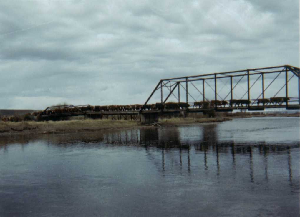
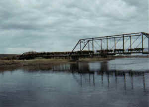 The
next morning we are witness to a cattle drive as a few cowboys on horse
back "heya" and whistle and cajole a heard of cattle across
the river as you see to the right here.
The
next morning we are witness to a cattle drive as a few cowboys on horse
back "heya" and whistle and cajole a heard of cattle across
the river as you see to the right here.
If it looks cold to you, that's because
it was. We had 2.5 gallon pails used for a hand wash system and to
settle water for our consumption. Each of the first few mornings
we'd find some ice in the buckets.