|
|
|
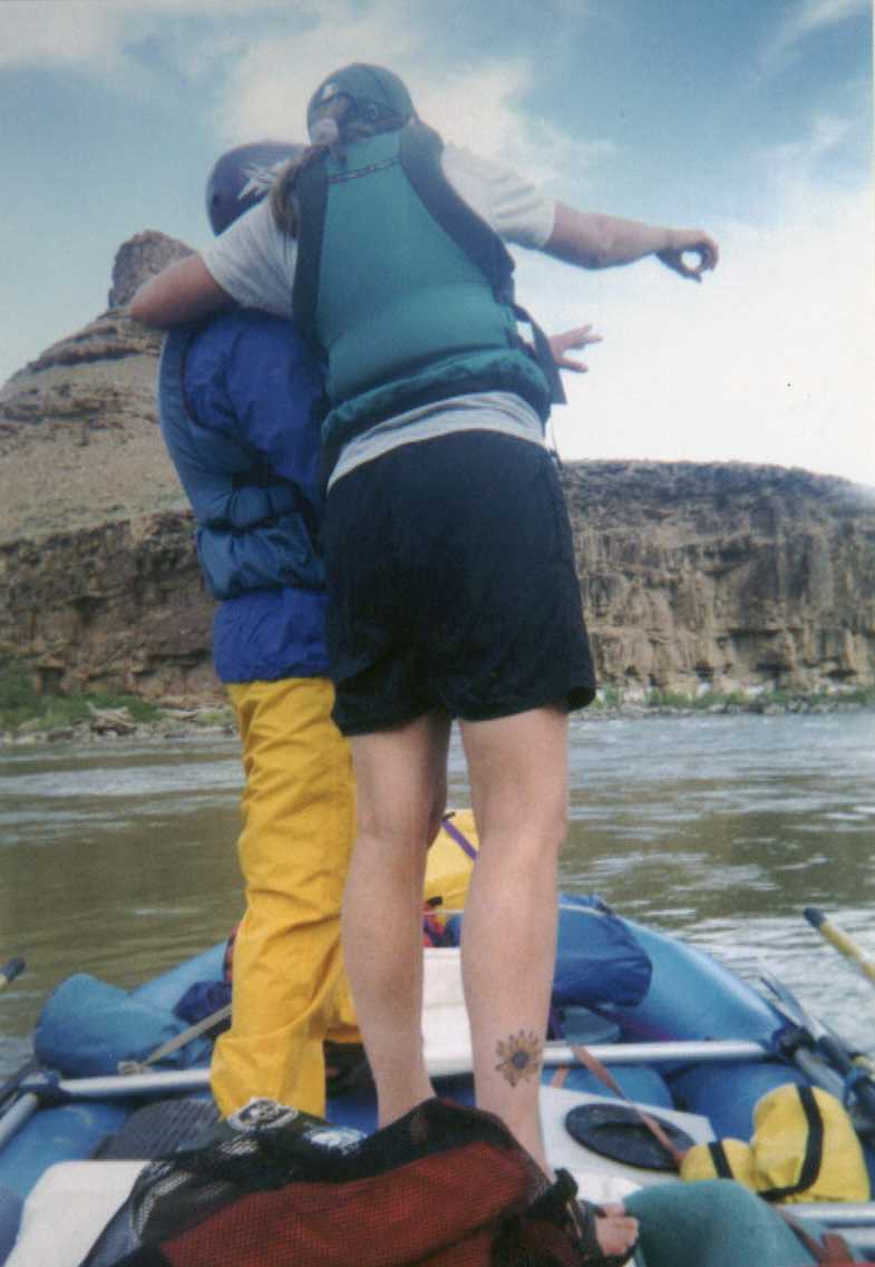 There
are a few big rapids in Desolation and Gray. The biggest is Coal
Creek Rapid. We had been going along for a while on the day we
reached the rapid. I think I had been in the inflatable kayak for a
while and was pretty tired by the time we got to the rapid. We
pulled over to scout it as we had never run it before at this low a
level. At a higher level it would have been just big waves and a
hole to watch out for. At this level, there were more rocks
exposed and hydraulics working. We decided that I could do it and
I did while Angie rowed the raft with Judy aboard. The reason I
want to include this picture is that it is the single best image I have
of how much we trust each other's judgment and how much we love the
river and each other. There
are a few big rapids in Desolation and Gray. The biggest is Coal
Creek Rapid. We had been going along for a while on the day we
reached the rapid. I think I had been in the inflatable kayak for a
while and was pretty tired by the time we got to the rapid. We
pulled over to scout it as we had never run it before at this low a
level. At a higher level it would have been just big waves and a
hole to watch out for. At this level, there were more rocks
exposed and hydraulics working. We decided that I could do it and
I did while Angie rowed the raft with Judy aboard. The reason I
want to include this picture is that it is the single best image I have
of how much we trust each other's judgment and how much we love the
river and each other.
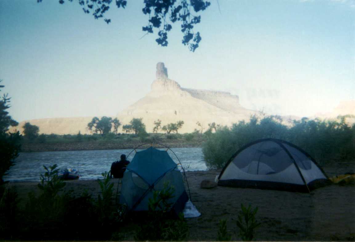
Gunnison Butte marks the end of the the Desolation Canyon's 84 mile trip. It's beautiful. This also puts you a few minutes drive from Green River, Utah. Judy had a rental car which she had the shuttlers drive to the take out. We went into Green River for dinner. The next day we drove to Grand Junction to get food and to stop in at REI to see if they had something we could use to sleep on the boat with. My thought was that we might not be able to find a beach on Lake Powell so we might have to sleep on the boat. REI had an aluminum cot that was too expensive and they had some hammocks. Nothing seemed right so we forewent it.
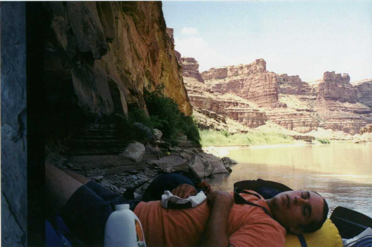
The main highlights for us during much of this section besides shade! were a number of inscriptions left in the rock walls. Some from a French fur trapper named Denis Julien who in 1836 traveled through Cataract and Labyrinth and Stillwater Canyons in search of beaver. Other of the inscriptions were left by early river runners including a steamboat the Launch Margerite, USGS surveys, Norm Nevills, Georgie White and Harry Aleson, and most exciting to me the Kolb Brothers. |
||