| Rarotonga, Cook Islands Rarotonga, Cook Islands Rarotonga, Cook Islands |
|
Rarotonga, Cook Islands Rarotonga, Cook Islands Rarotonga, Cook Islandsok |
||||
| There are two sides to
Raro and she does them both well. |
||||||
|
||||||
|
||||||
|
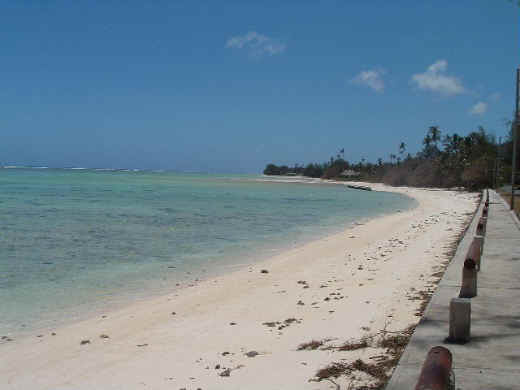
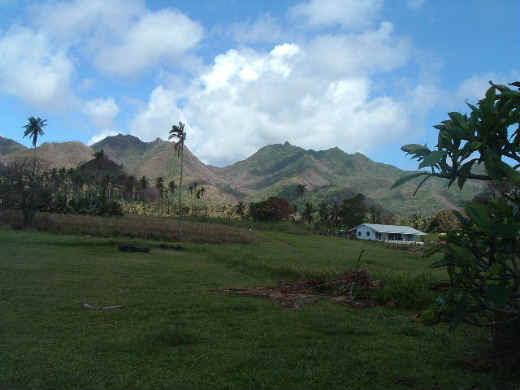
Rarotonga is the largest island in the Cook Islands. There are 15 islands in this chain that form an independent country. The population is about 18,000 total with about 1/2 of that living on Rarotonga. The road that goes all the way around Rarotonga is only 20 miles long! The maximum speed on the island is only 30 miles per hour! The Cook Islands are about 3,000 miles due south of Hawaii, 4,670 miles from Los Angeles, and 1,870 miles from New Zealand. The distance from the most southern to the most northern island is about 850 miles. Rarotonga is on the 21st parallel (south!) which means we did cross the equator for the first time. We were there during the summer months. The average "low temperature" while we were there was about 74 and the average high was about 85 (with a high of 91). It was humid, but not really too bad. Rarotonga is dominated by two diverse worlds; the never ending beach and the steep and uninhabited mountains. The beach goes almost all of the way around the island and is skirted by the main road. While driving around the island you are never more that 100 yards from the ocean. Inland there is another, narrower road which circles most of the island and a few narrow roads connecting the two. In this area is where most of the 9,000 people live who call Rarotonga home. It forms almost a continuous development of homes built on what appears to be large lots or small acreages. |
||||||
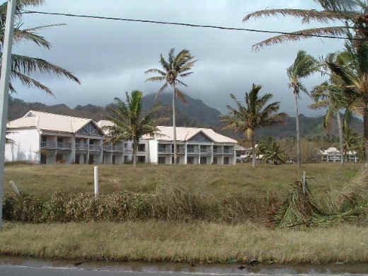 |
The Sheraton Hotel sits vacant and unfinished. Began in 1990, work on it was halted for some reason and it just sits there. It is quite a large complex, which this picture does not convey. |
|||||
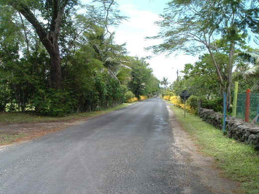 |
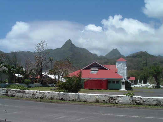
The picture on the left is looking down the main road towards our hotel (which would be at the end of the road on the left). The picture on the right shows a school near Avarua and the ever present mountains behind. |
 |
||||
|
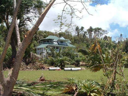
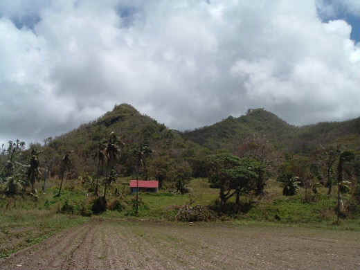
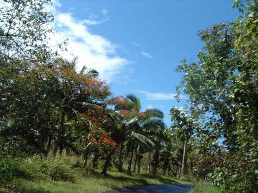
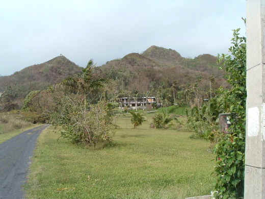
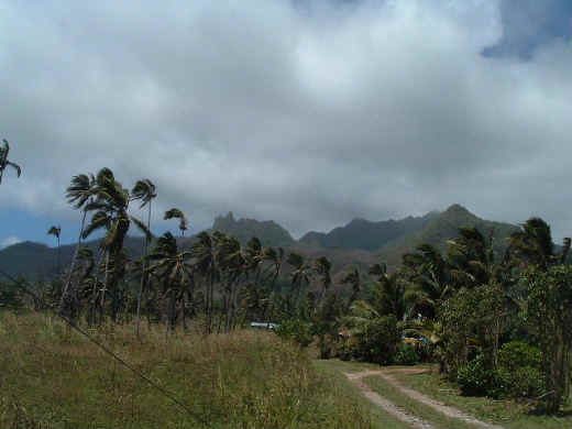
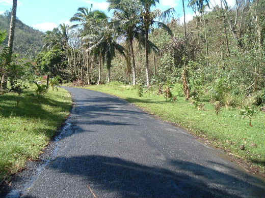
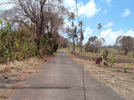
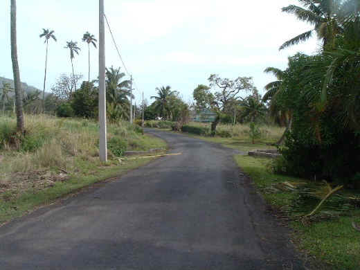
The following 8
pictures are just typical looks |
||||||
 |
 |
 |
 |
|||
 |
 |
 |
 |
|||
|
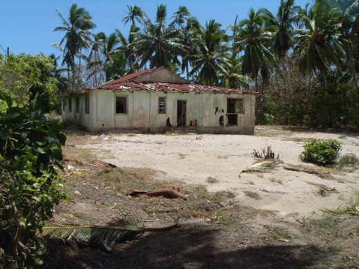
There are a lot of abandoned homes around the island. Due to a poor economy, many islanders move to New Zealand to work. On the other hand, laws make it hard for non-islanders to buy property or move to the island. |
 |
|||||
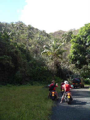 |
On the left is the road up to Wigmore's Waterfall, which is the only waterfall on the island. On the right is the pond at the foot of the waterfall and Jackie is in the pond. Due to the cyclones, there were a lot of trees down in this area. | 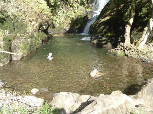 |
||||
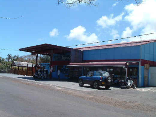 |
On the left is Wigmore's Superstore and on the right is the National Museum | 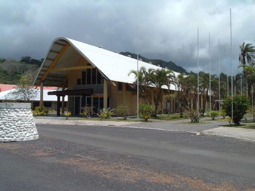 |
||||
|
Well, I don't know if we will ever get back to the Cook Islands, but we did enjoy ourselves a great deal. The island of Rarotonga was beautiful and from what I can see the other 14 islands may be even more so. One of the great things about the island were the people. They were nice and open to us tourists who were a bit lost and confused. When we visited Maui last year, we were amazed that everyone we dealt with was from the mainland. The sailboat operators, snorkel gear sales staff, etc. On Raro this is very rare. Almost the only people living on the island who are not native Cook Islanders are married to them. People ask if we were bored and we were not. The closest to this were the two days while we were forced to stay inside due to the cyclones, but we read and played games then. We did not do everything that we had hoped to do. The cyclones cut into our time. Of course, they did add to our adventure! We had hoped to take the cross-islpand hike, visit the Cultural Center, learn how to sail a boat, take a 4x4 across the mountains and take a sightseeing plane around the island. Of course, we may not have been able to do all of this even without the cyclones. All of those do cost money! The Cook Islands do have their own form of money, but they don't seem to use it. They use New Zealand money. A couple of years ago an NZ dollar equaled about 1.80 USD. Today that is down to about 1.25 USD, which is not a good sign for our economy. In the paper one day they were talking about new teachers. The starting salary was $16,000 NZ. Since almost everything on the island is shipped in, nothing is really cheap. Gas was about $5.00 USD per gallon. (Of course, you would not use a lot there.) I would encourage you all to check out the Cook Islands on the internet. It's cheap way to indulge your dreams! |
||||||
| Moana Sands | Moana Sands | Moana Sands | Moana Sands | Moana Sands | Moana Sands | |
 |
||||||
| Rarotonga, Cook Islands Rarotonga, Cook Islands Rarotonga, Cook Islands |
Rarotonga, Cook Islands Rarotonga, Cook Islands Rarotonga, Cook Islands R |
Rarotonga, Cook Islands Rarotonga, Cook Islands Rarotonga, Cook Islands |
Rarotonga, Cook Islands Rarotonga, Cook Islands Rarotonga, Cook Islands |
Rarotonga, Cook Islands Rarotonga, Cook Islands Rarotonga, Cook Islands |
Rarotonga, Cook Islands Rarotonga, Cook Islands Rarotonga, Cook Islands R |
|