Joshua Tree National Park
The trip to Joshua Tree arose when Scott, a former housemate from Chapel Hill, called during the summer to say he was going to a meeting in LA in the fall and wondered about connecting up. He wanted to extend his trip to see the area. He'd already seen L.A. itself, or as much as he wanted to. So, through various e-mails and phone calls we worked up a plan to see Joshua Tree (my idea -- since I'd seen Anza Borrego, a California state park -- and I wanted to see the northern extension of the desert.)
I met him on Wednesday (Nov. 8) in downtown L.A. I had no trouble with the traffic, although I timed it to arrive in early afternoon -- a strategy that appeared to work -- and we hightailed it straight out of town to avoid any rush-hour traffic. We stopped along the way at Hadley's -- a well known store that specializes in dried fruits and nuts. It was quite a find! I ended up ordering from them online! (Try the Royal Cranberry Mix. It's really good!)
We ended up in Palm Springs for dinner and I was impressed by the size of the town, considering it's in the middle of the high desert. We walked up the main drag looking into clubs and reading restaurant menus. Scott noticed with disapproval that the clientele was "geriatric" (as he called it), meaning few people
in their 20s or 30s were visible. I told him to visit again during spring break, when Palm Springs becomes a mecca for college revelers.
We finally washed up at an unlikely-sounding restaurant named the Kaiser Grill. The name promised a menu with lots of bratwurst and sauerkraut or a myriad of sandwiches served on kaiser rolls. Instead, it turned out to be an upscale bistro with California cuisine. I ordered a dish of three types of mesquite-grilled seafood and remember thinking how incongruous it was eating fresh seafood in the desert.
After dinner we headed out toward the southern entrance of Joshua Tree National Park and set up camp. (The map supplied by the Park Service shows where the park is located compared with other So. Cal. landmarks.) It was then I discovered that the camping equipment I borrowed from my landlord included a lightweight sleeping bag that wasn't up to the overnight temperatures in the desert in November. A check of the car revealed a seldom-used fabric car cover that became an impromptu blanket. I also draped all of the extra clothes I was packing over the bag and car cover. I must have looked as if I were sleeping in a heap of rumpled laundry but at least I didn't freeze.
In the morning, after a visit to the visitor center we headed out to one of the local trails called Lost Palms. At least the "lost" part turned out to be prescient. The trail supposedly leads to a sheltered canyon filled with palm trees fed by an underground stream. However, we lost track of the trail twice
and never did find our way there, although the scenery along the
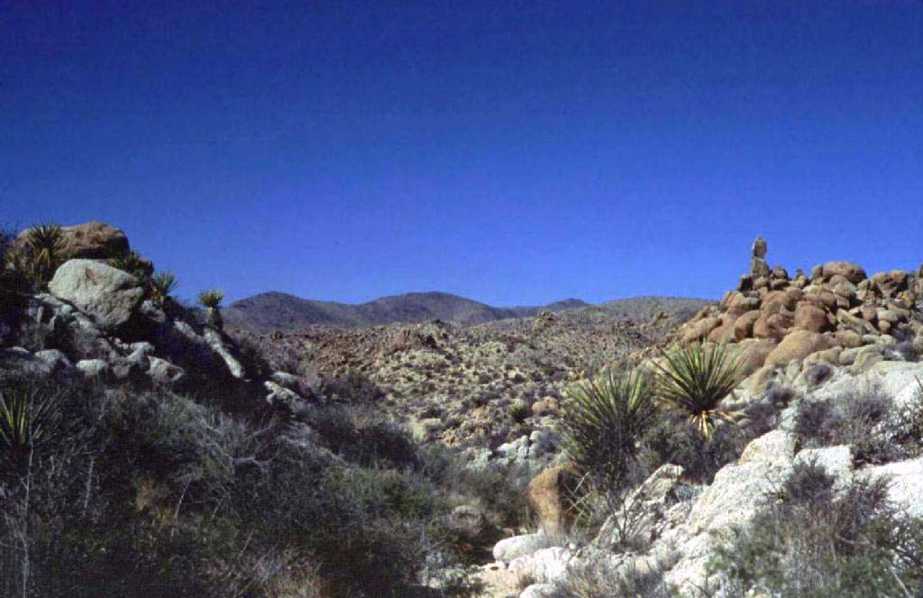
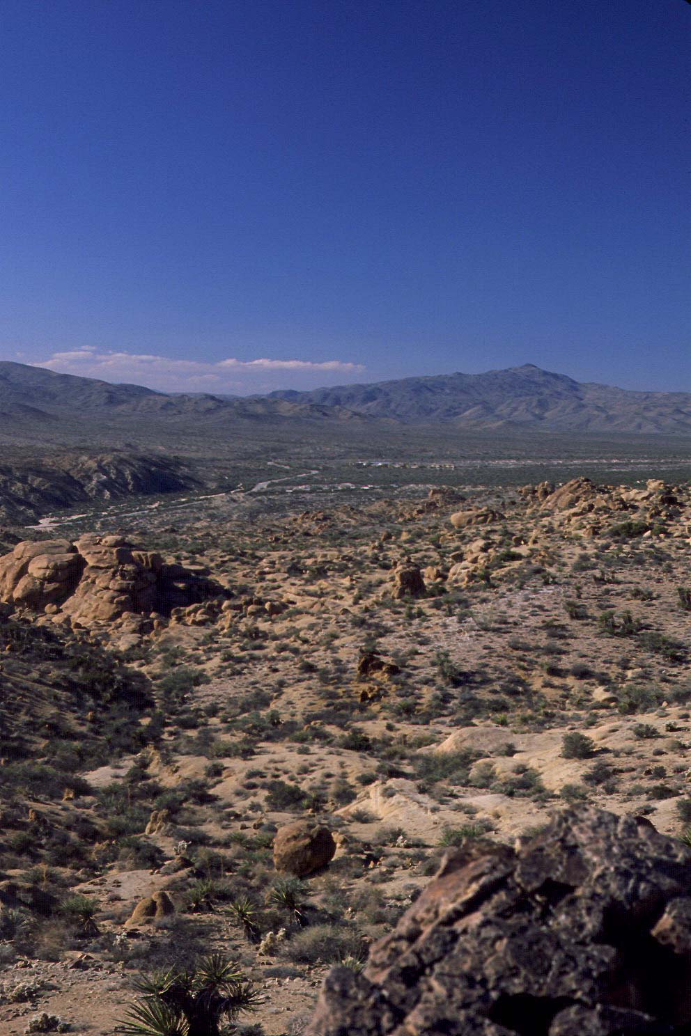
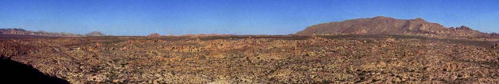
way was worthwhile. We later discovered that a recent flood had washed away rock markers defining the trail. Footprints leading off in multiple directions at several points led us astray. Before we ran out of afternoon light we opted for a hike up a mountain called Mastodon Peak. Neither Scott nor I could tell where the peak got its name. It didn't seem to resemble much of anything, let alone a mastodon.
Despite that, the view from the summit was impressive. I assembled a panoramic view from the top of the peak. Near as I can tell, this was facing northwest. I did not use one of those one-use panoramic cameras from the drug store. Those produce such crappy photos and don't use film with enough detail. So, I ended up taking five separate photographs, turning to my right a little time. I later assembled the scanned photos into a single image. It's not easy and too many hours of work.
After exiting the park, we drove north through the park to check in at the next campsite and find a place to eat. One of the park rangers had recommended a place to eat called the 29 Palms Inn. Although
the restaurant was small, it proved a good choice. The menu was surprisingly sophisticated. They had a good selection of beers on tap (Scott's criterion for picking it in the first place).
After dinner we headed out to the camp site to settle in. We'd been warned by the park employees that it would be cold that night. I worried that the makeshift fix for my wimpy sleeping bag wouldn't keep me warm enough so I got inventive and unearthed the two mylar emergency blankets I had in the first aid kit from the car. I wrapped the mat underneath the sleeping bag with one mylar blanket to reflect the chill from the ground and then wrapped the bag with the other mylar sheet to reflect my body heat back to me. It seemed to work fine. I felt quite toasty, even if I did feel like a Thanksgiving turkey swaddled in foil.
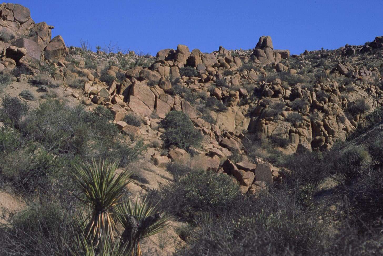
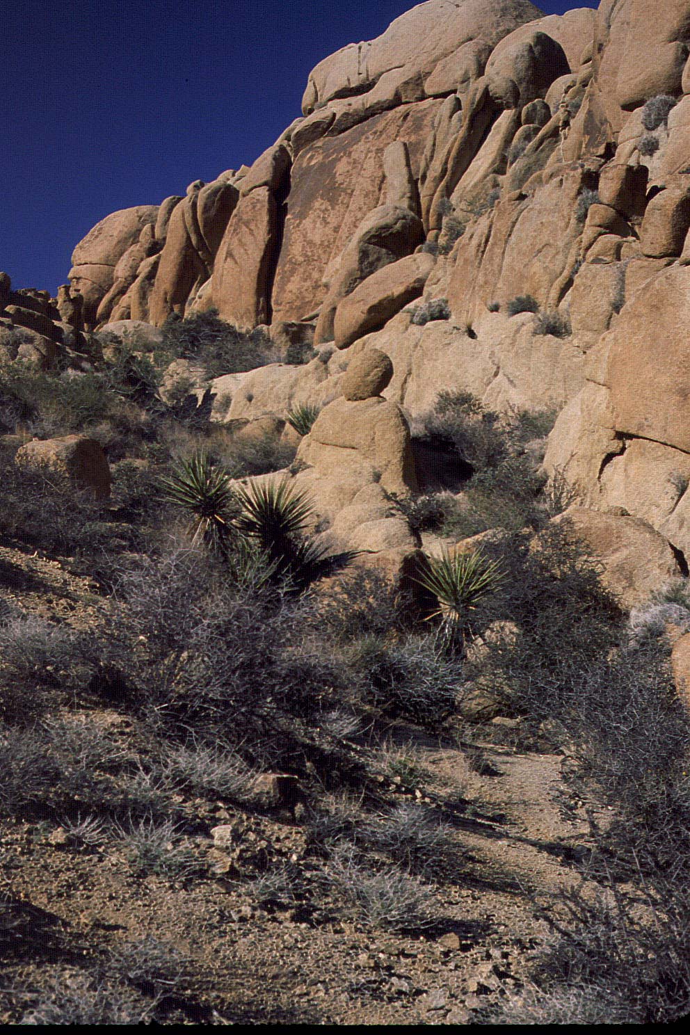
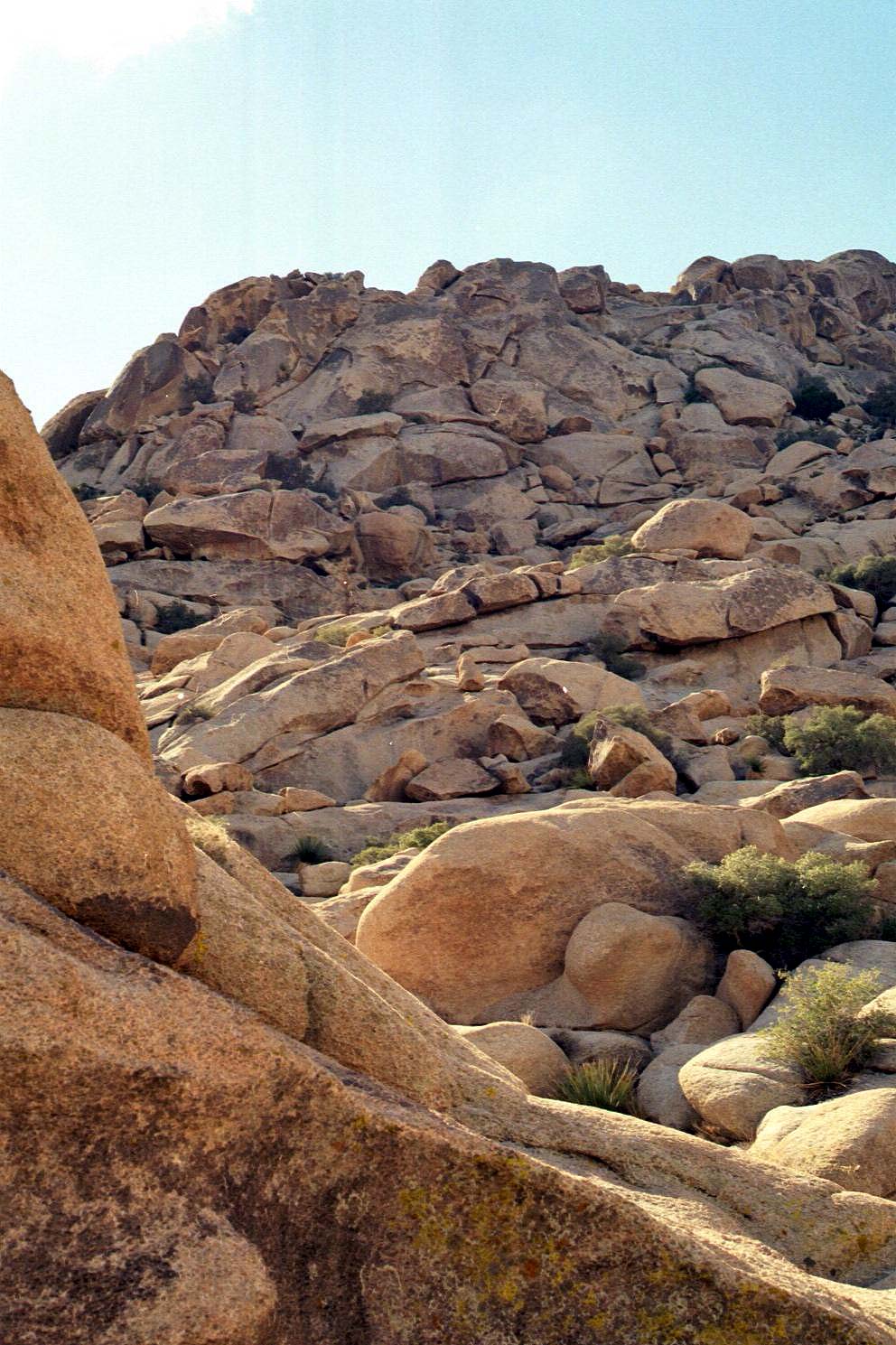
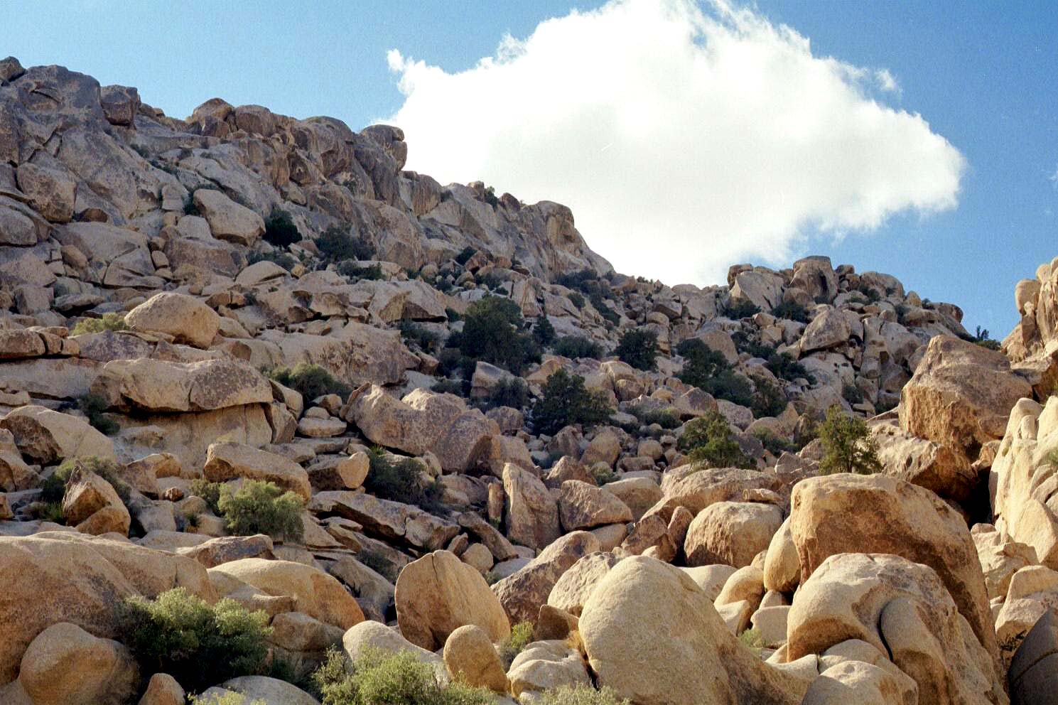
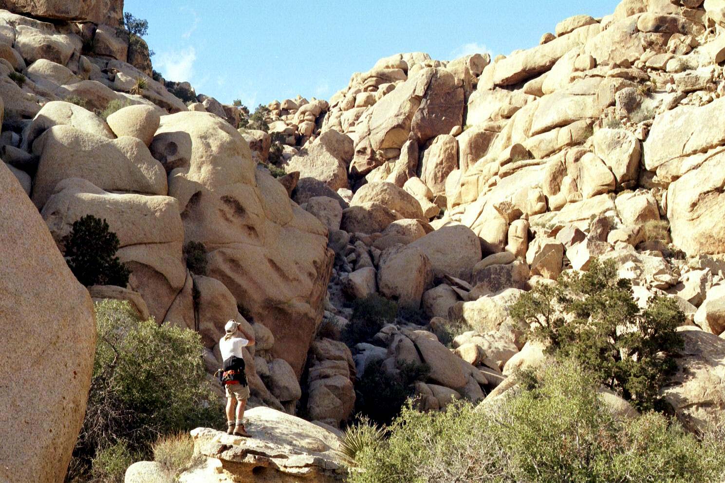
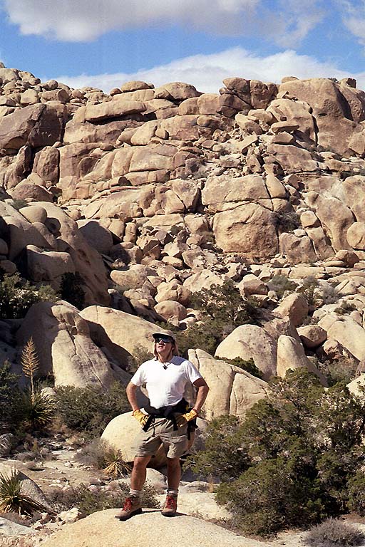
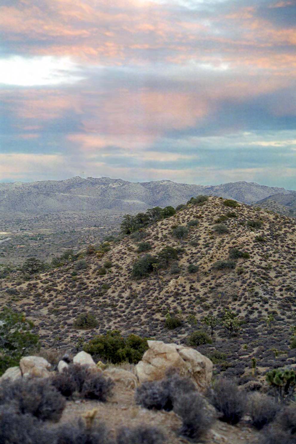
The next day we set out for Rattlesnake Canyon. Being November, any actual snakes should have been hibernating already. We certainly didn't see any. The most exotic wildlife we saw were pair of chipmunks and an owl. We did manage to get well up into one of the mountains bordering the canyon. The scattered boulders
made the climb moderately difficult. Even traversing flat gound was a challenge because the flat areas consisted of dry washes filled with tiny pebbles and coarse sand. It was particularly tiring walking uphill in the washes -- a bit like walking in a trough filled with Grape Nuts.
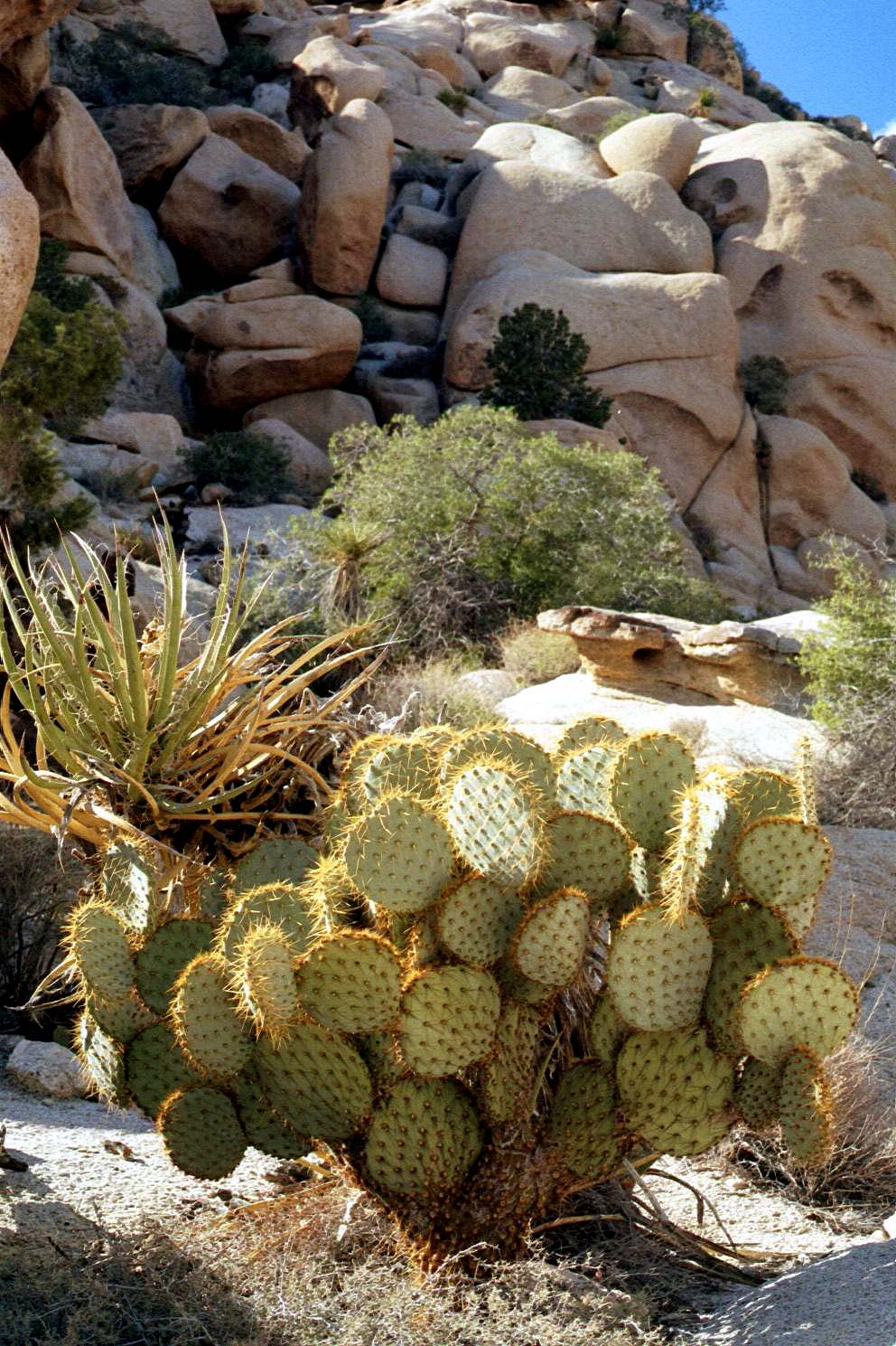
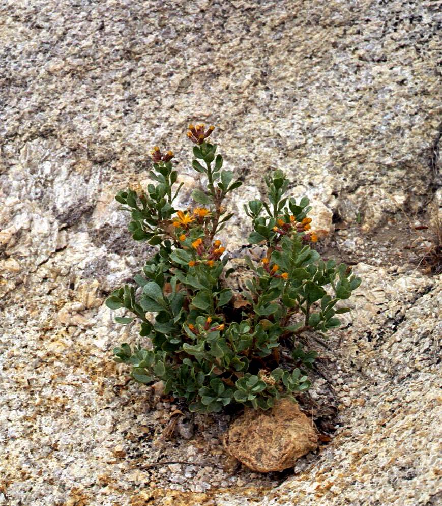
Two of photos to the right show Scott about three-fourths of the way up one of the mountains flanking Rattlesnake Canyon. The rocks are so jumbled that the photos don't provide a good sense for overall scope of the mountains. At least the camera does capture objects on a smaller scale, such as the hardy plants that spring up in remarkably uninviting places, sometimes appearing to grow out of nothing more than rock.
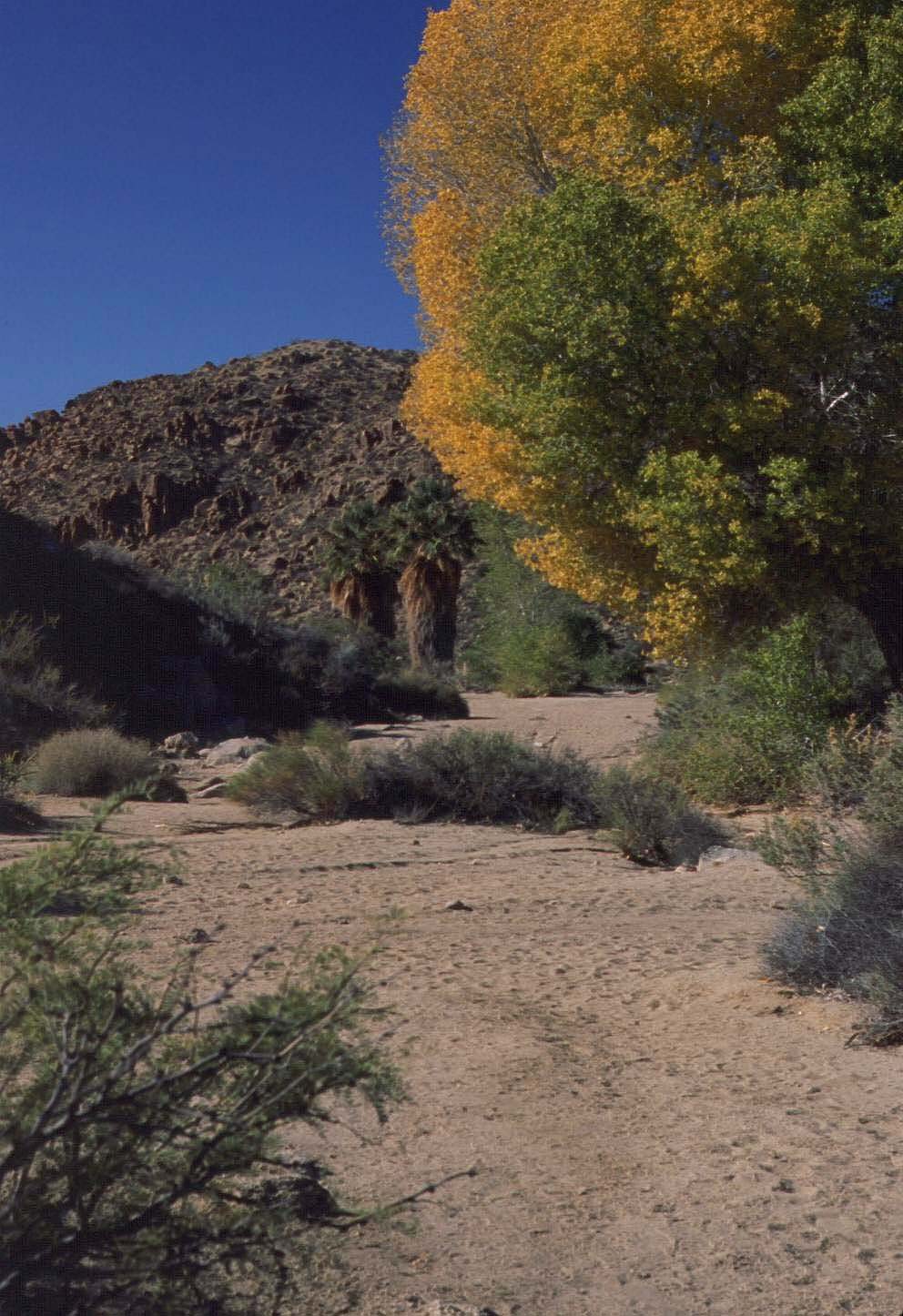
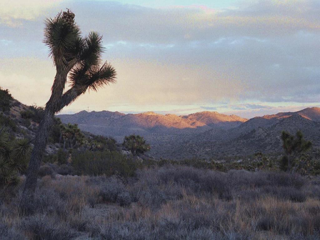
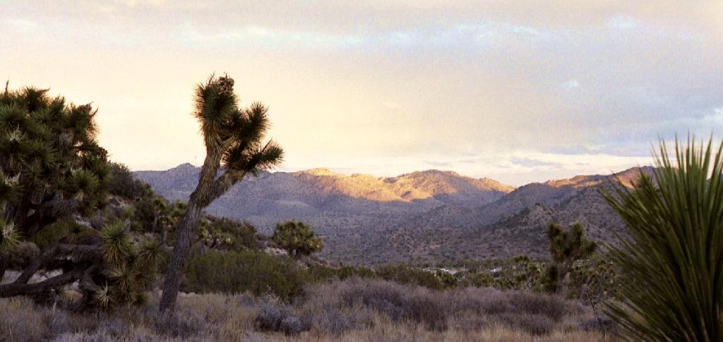
With a cold front moving in and facing a waning day, we got back in the car and headed to the western edge of the park to cram in a quick hike around Black Rock mountain. The second attached photo shows the Joshua trees late in the afternoon at the base of the mountain. We didn't actually make it all the way around the hiking trail since the increasingly cold air got me wheezing a bit. Exercising in cold air has always been done that, but we did at least get to to top of the ridge before heading back. As the sun was setting, I did get some nice photographs of the Western part of the park with some dramatic lighting,
courtesy of Mother Nature.
As we checked back in at the Black Rock visitor center we found that almost every camping spot in the entire park was booked for the Veterans' Day weekend. Who'd figure that would be such a popular holiday to spend in the desert in November? Evidently, we'd timed it right to hit the park in mid-week.
We didn't time it right, however, when we headed off to a local watering hole in the town of Joshua Tree. Early Friday evening appeared to be the time everyone in town heads out. The Crossroads Cafe was packed with locals and tourists alike. Scott managed to finagle a table that we shared with a local woman and a taciturn out-of-town fellow. Near as Scott and I could tell, the woman appeared to have picked up the guy for the evening. Who'd have thought that Joshua Tree was such a swinging place? Anyway, the sandwiches were ample and tasty and they had Guinness on tap, so I was happy. (Oddly enough, even though the thought of fresh fish in the desert seemed weird, the idea of drinking beer imported from Ireland didn't strike me as strange at all. Just in case you're wondering why the sky appears so vividly blue in the photos, that's mostly because I used a polarizing filter on my camera when taking most of these images. It cuts through atmospheric haze and intensifies colors, especially the sky. To view any of the images full-size, click on the thumbnails on this page. The full-sized images are big files -- some over a quarter of a megabyte in size -- so give them time to download. If you have a photo editor, you may want to resize them to view the whole image without scrolling.![]() )
)