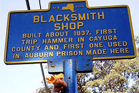
Ira with Marker
N 42° 57.128 W 076° 30.612
Franklin Street Road - East of Soule Cemetery

Marker - too high for Ira to climb
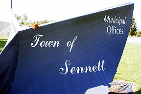
N 42° 57.164 W 076° 30.447
Franklin Street Road - in front of Sennett Municipal Offices
Ira with Marker
N 42° 57.128 W 076° 30.612
Franklin Street Road - East of Soule Cemetery
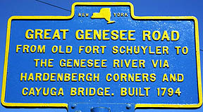
Marker - too high for Ira to climb
N 42° 57.164 W 076° 30.447
Franklin Street Road - in front of Sennett Municipal Offices
Marker - too high for Ira to climb
N 42° 57.432 W 076° 29.469
On Corner of Franklin Street Road and Parcell Road
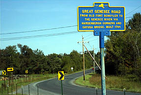
Franklin Street looking East.
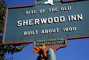
Ira with Marker
N 42° 56.702 W 076° 25.874
26 West Genesee Street
Downtown Skaneateles
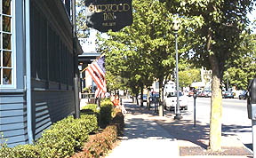
Sherwood Inn
West Genesee Street looking East.

Marker & Sherwood Inn
West Genesee Street looking East.
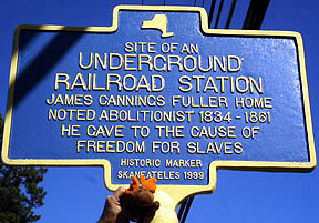
Ira with Marker
N 42° 56.681 W 076° 26.359
On Corner of West Genesee Street and Fuller Street
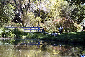
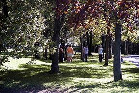
Art class in session.
Found a geocache GCK773 here.