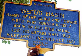
Ira with Marker
N 42° 56.766 W 076° 34.026
Looking east on North Street.
Sign is between Standart Avenue and Dayton Street.
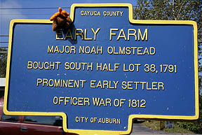
Ira with Marker
N 42° 56.766 W 076° 34.026
Looking east on North Street.
Sign is between Standart Avenue and Dayton Street.
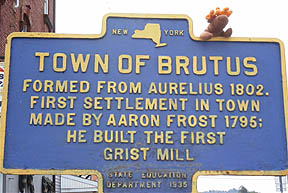
Ira with Marker
N 43° 02.922 W 076° 33.805
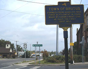
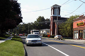
Looking east on NYS Rte. 31.
Sign is on the corner of W. Brutus Street and Erie Drive.
Geocache GCHETT located within 50 feet of the marker.
N 42° 02.897W 076° 33.808
Looking south on NYS Rte. 34.
Ira with Marker
N 42° 02.621W 076° 33.810
Looking east from 8805 S. Seneca Street.
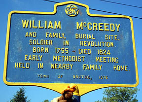
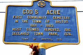
Ira with Marker
N 42° 02.060W 076° 33.573
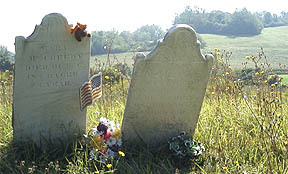
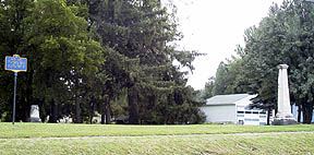
Graveyard south of Weedsport on the east side Rte. 34.
Ira on the headstone of Mary McCreedy.

Found a geocache GCKFAD here this morning.
Also, meet onamission and passing through at the cache site.
Ira with Marker
N 42° 02.601 W 076° 33.537
Ira with Marker
N 42° 02.601 W 076° 34.557
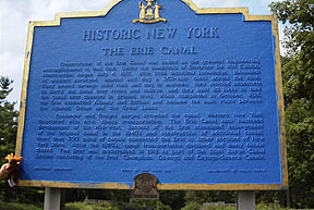
Construction of the Erie Canal was hailed as the greatest engineering accomplishment to that time. Under the leadership of Governor De Witt Clinton, construction began July 4, 1817. With little technical knowledge, thousands of workers surveyed, blasted and dug a 363-mile canal across the State. They hewed through solid rock and dug in marshes; they erected aqueducts to carry the the canal over rivers and valleys, and they built 83 locks to take the canal over changes in ground level. When completed in October, 1825, the Erie connected Albany and Buffalo and became the main route between the Atlantic Ocean and the Great Lakes.
Passenger and freight barges crowded the canal. Western New York flourished with new, cheap transportation. The Erie Canal also hastened development of the Midwest. Success of the Erie stimulated enlargement of the original canal in the 1840's and construction of additional canals. More than 500 miles of canals connected the Erie to other sections of New York State. After the 1870's, canal transportation declined and 95 many canals closed. The Erie was modernized in 1918 as part of the State, Barge Canal System consisting of the Erie, Champlain, Oswego and Cayuga-Seneca Canals.
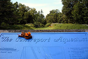
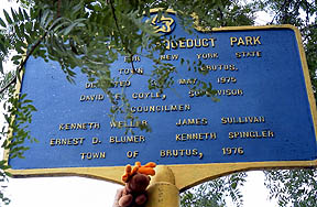
Ira on informational plaque.
Aqueduct in the background.
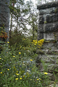
Remains of Centerport Aqueduct.
Geocache GCB5B located nearby.
My log.