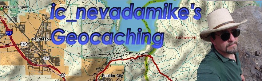
| Geocaching has something for everyone. Geocaching gives you the chance of being an explorer, adventurer, and a pack rat. You don't need to be an expert map reader. Compass work can be at a minimal. All you need is a GPS handheld receiver to be able to participate in this sport. How can I get started? Check out Geocaching.com site for information on how to get started. This site is the bread and butter of the sport. It has the largest data base of all of the Geocaches placed around the world. You can register at the site or just enter your zip code to see what Geocaches are listed in your area. The best feature of this site allows you to link up a geocache site coordinates to a topographical map display which can be printed out. Another good website that has a world map display of all of the active Geocaches is Buxley's Geocache Waypoint. Why do I need a compass and map? Using a compass and reading a TOPOgraphical map can be necessary for locating some remote Geocaches. When you enter the Latitude and Longitude coordinates (degrees, minutes) of the cache site into the GPS handheld receiver the basic readout from the GPS will show the distance and the bearing number to the Geocache site. A bearing number is the number of degrees from Magnetic or True North. This informative web page on compass and map work will give you some enlightenment to navigation. Some GPS receivers may have built in a compass, otherwise an inexpensive Silva compass with a 2 degree graduation lines and large numeral at every 20 degree mark will help you find your way. What is a datum? Datum is a map survey model to coordinate features on the ground with map coordinates. GPS uses WGS 84 / NAD 83 datum. Most USGS Topographic maps are based on earlier datum called NAD 27. In the United States the difference between WGS 84 and NAD 27 can be as much as 200 meters (656 feet). Sometimes you might have to convert between the two. JeEep.com webpage has a excellent coordinates translator. What GPS receiver should I get? Garmin or Magellan appear to be very popular. There a few other manufactures out there. You can expect to spend around $100 for a basic unit. Prices go up with other features. WAAS, Wide Area Augmentation System which can give a better position accuracy (10 feet). Internal memory to store down loaded maps. I have a Garmin e-Trek Legend which has WAAS and 8meg of memory, cost around $250. I don't use WAAS or the 8 meg of memory....You can expect to have an accuracy of 30-40 feet. This will easily get you in the ball park when searching for a Geocache. Prior to May 1, 2000, Selective Availabilty (SA) was implemented to reduce accuracy to civilian used GPS receivers to approximate 300 feet. Support Software requirements When choosing a GPS unit, consider what support software you might want to use. Make sure the software is compatible to the GPS receiver. I use TOPO USA 3.0 from DeLorme to setup my routes and waypoints. Waypoints are basically bread crumbs (coordinates in Lat/Long) to follow to and from a Geocache site. Routes are collection of related waypoints link to one route name. My GeoCache Experience There has been an abundance of new geocaches in the Las Vegas area. It is a real struggle to try to get to these caches. Lately I have not been able to do geocache searches. Presently , 23 Nov 02 I have placed 13 geocaches and found 46 geocaches. |
 |
| Las Vegas Sun story on Local Geocaching |
 |
 |