Question: What kin is William O. Burnam to Jessie Burnam, who is listed in the Handbook of Texas?
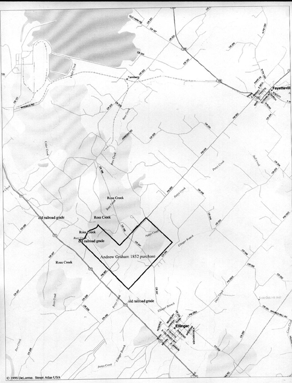
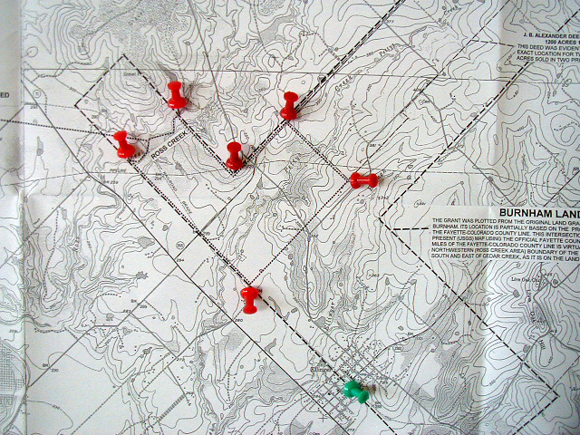
| The first map is a road map based on the second map below, it provided to this site by Betty and Harry Christian. Andrew Graham purchased 760 acres of land in Fayette County Texas from William O. Burnam on January 19, 1852. It is said that Andrew made this move to be closer to other settlers so as to reduce the likelihood of Indian attacks - and he never lived on his 1832 Mexican land grant. It is not clear to me where Andrew lived between 1832 and 1852. The westernmost corner is about two miles west of its closest point of the Colorado River - that being a sharp bend in the river. Andrew's southernmost corner is little over one mile NW of present day Ellinger - and the same corner is a little over four miles to Fayetteville. Question: What kin is William O. Burnam to Jessie Burnam, who is listed in the Handbook of Texas? |
|||||
|
|||||
|
|||||