|
The original of the map above was created using AniMap Plus which is commercial software distributed by:
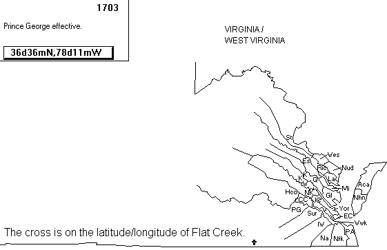
The GoldBugAniMap is a super utility to assist you in finding boundary changes once you know where a particular family was living. You can mark a latitude/longitude location on the map (like the cross above) and step through each year a change to the boundaries occurred. The map above has been modified by reducing the number of colors to two, adding the text reference to Flat Creek, cropping the size of the map, and converting it from a BMP file to a GIF file.
For some really good pointers on using maps for your research and where to find maps on line, see Cousin John Robertson's home page.