
A suspension bridge on the Wonderland Trail. Day 1.

A view back along our approach route from Puyallup Cleaver. Day 3.

Mt. Adams & Tahoma Glacier. Day 3.
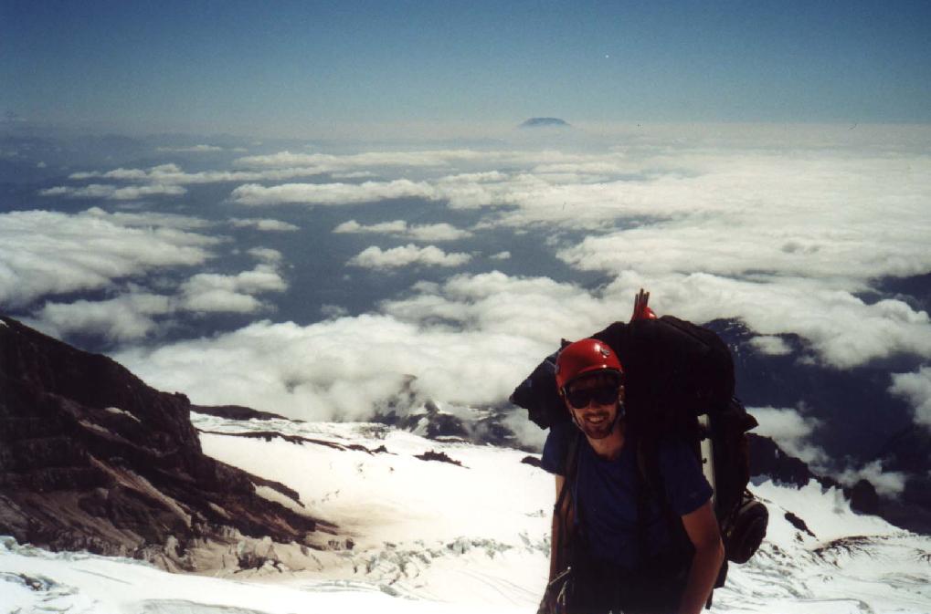
Sam high above the Tahoma Glacier, with Mt. St. Helens in the distance. Day 3.
There's a route through there somewhere! "The Sickle" route runs left up Tahoma Glacier. Day 3.
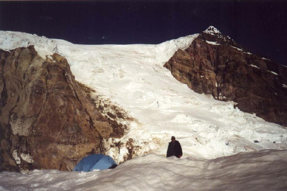
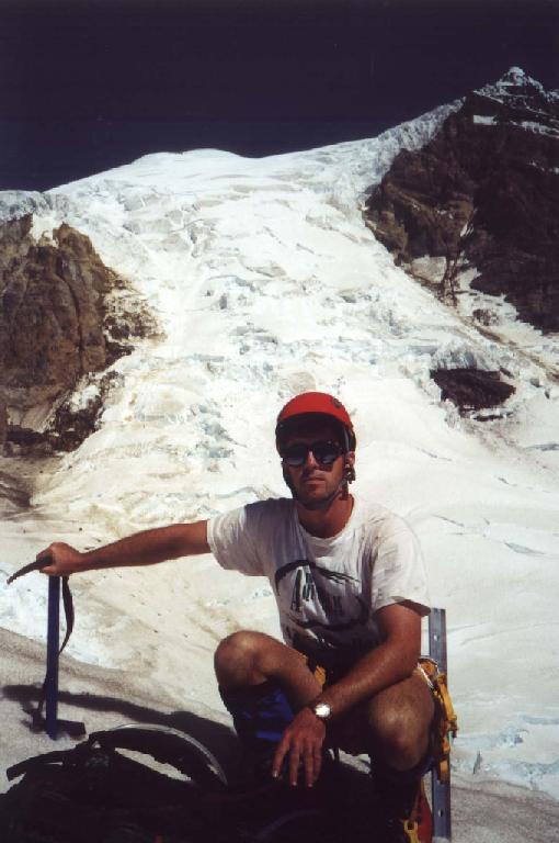
High camp at 11,400'. Day 3.

Sunrise on Day 4. We're making our way through crevasses on The Sickle.
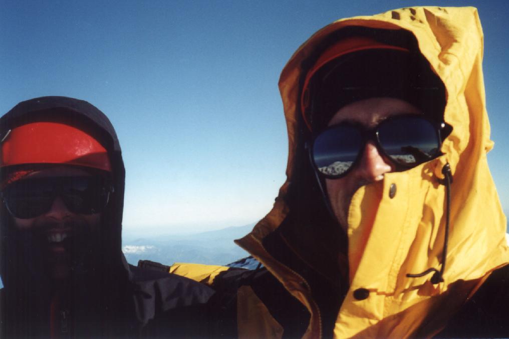
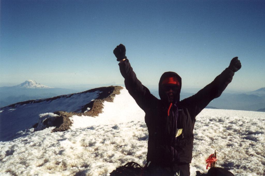
Columbia Crest (14,410')! Day 4.
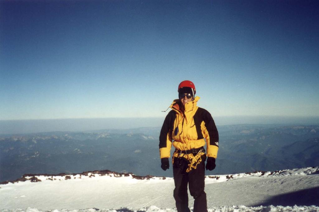
Sam's happy. Mts. Adams, Hood, & St. Helens are visible.
The summit crater seen from Columbia Crest.
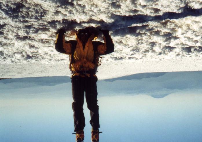
Columbia Crest is heavy!