|
|
|
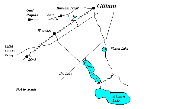
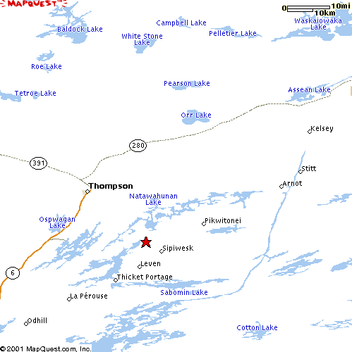
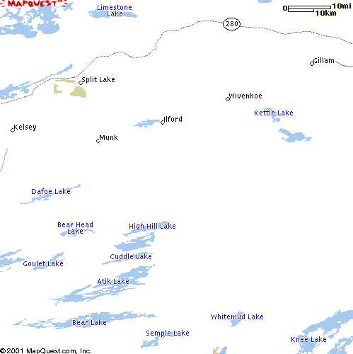
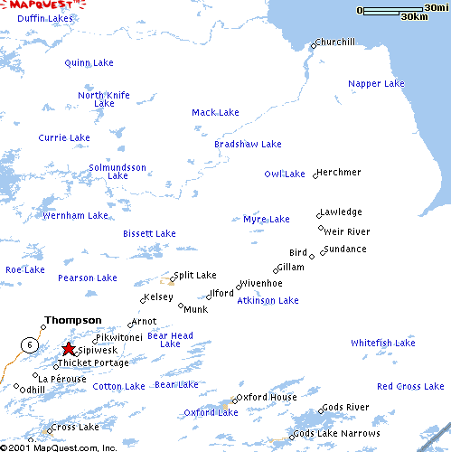
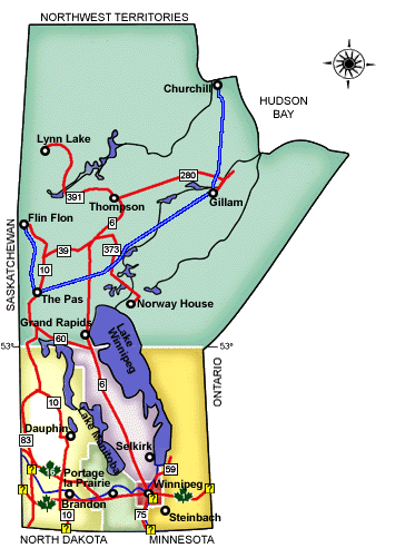
Map Hi, I hope to have some better maps with the trails drawn on them soon. But for now, here are some maps of the area. If anyone has a GPS map that has some of the
trails marked out, we would appreciate if you sent us some to share.
Gillam to Gull Rapids ~ 20 Miles Gillam - Butnau Trail - New trail over to KN36 - Back to Gillam ~ 21 Miles Gillam South to DC Line - DC LIne to Kettle Lake - K Lake to Southern Trail - X over to Wilson Lake trail - Back north to Gillam ~ 65 Miles Gillam to KN36 - KN36 to Ilford ~ 48 Miles Gillam to Kelsey ~ 84 Miles
|
[ Sign Guestbook] [ View Guestbook]
Send mail to [email protected] with
questions or comments about this web site.
|