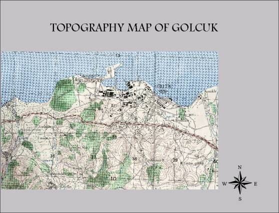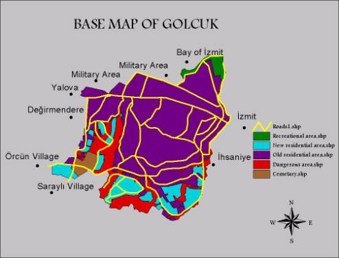
METHODS & ANALYSIS
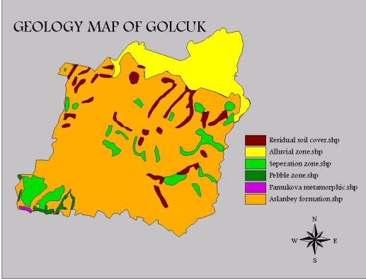
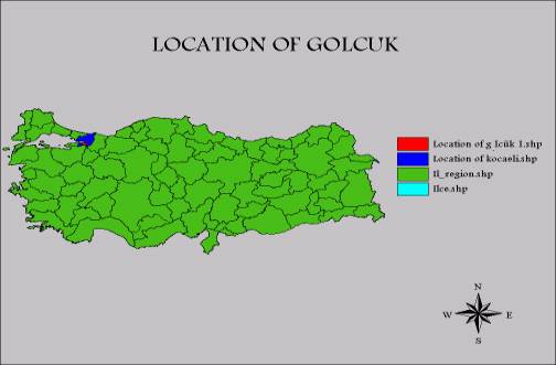
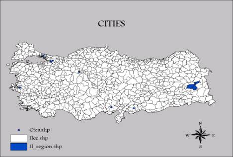
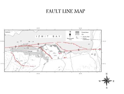
In my thesis the methods & analysis are done using GIS a program that takes data about the earth surface and allows it to be analyzied with arcview . I used a base map of golcuk that includes all roads , old and new residential areas , and the coastal part of golcuk , and I also scanned and digitized the geology map of the golcuk . I created location map that shows location of golcuk and izmit in Turkey . Also I created Turkey map that shows some big cities . A topology and fault line maps were used for references . I obtained photos of the old and new residential area and of the fault line . In my thesis I overlay the base map with the geology map of golcuk to define the geologic characteristics and earthquake hazard .