|
Driving Directions:
From Colorado Springs, take Hwy 24 west to Woodland Park.
Go through Woodland Park to Hwy 67 south to Divide.
Turn left on Hwy 67 and go about 4.3 miles.
Turn left at the Crags Camp Ground turn off.
Continue on the dirt road about 1.6 miles and turn right at the Mennonite camp ground.
Drive another 1.6 miles and turn left to the Crags Camp Ground parking area.
The trailhead begins there.
The Hike:
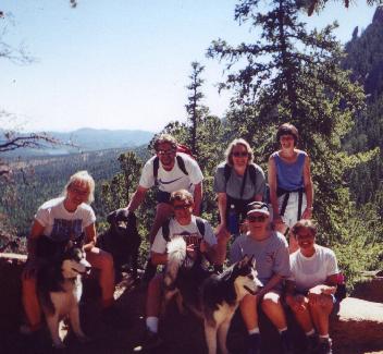
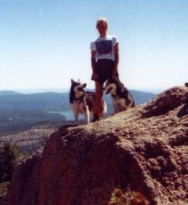
A relatively short, light hike which ends on top of a ridge
which has a real nice view of the Catamount Reservoir and east to Woodland park.
|