 |
|
|
|
|
|
|
|
|
|
|
|
|
|
|
|
|
|
|
|
|
|
|
|
|
|
|
|
|
|
|
|
|
|
|
|
|
|
|
|
Your Snow Fall Pictures |
|
|
|
On Wednesday the 28th Of January 2004 A Very active cold front swept the country, with some areas reporting around 5*C drops in temperature in just a few minutes. The front was one which was a bit tricky to forecast, It was very slow in Sweeping the country, and Ahead of it places were reporting temps of around 6*C and SW winds! probably one of the reasons the cold front became so intense was due to the warm air ahead of it feeding it with an extra kick of energy, And this would probably explain the fact that a huge chunk of England Wales had thunder and lightning associated with the front.
As the front approaced North Wales, it really got its act together producing a very solid line of precipitation running the width of England and Wales. As it made landfall it produced in most low lying areas an intense few minutes of rain, which helped to drag freezing air down to surface level from aloft, this caused with it the almost instantanious blizzard conditions couple with the super quick drop in temperatures. snowfall lasted on average 30-40minutes and produced snowfall in the range of a slushy base to 2" or 5cm in as little as 30 minutes. This was the most active cold front I have ever witnessed, and my fist experience of 'thunder snow' below are some of your pictures from the cold fronts arrival, aswell as other snowfalls from the short lived cold snap. |
|
|
|
 |
|
|
 |
|
|
|
|
|
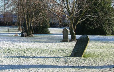
Light covering of snow in Gillingham Kent, the morning before the cold front. |
|
|
|
|
|
|
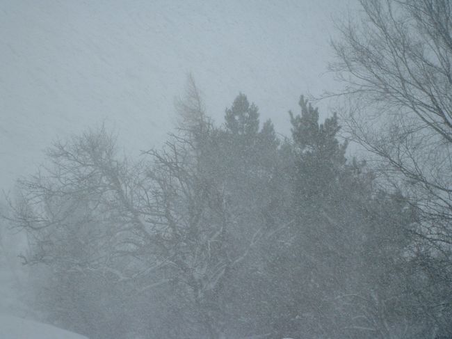
A full scale Blizzard on the North York Moors. |
|
|
|
|
 |
|
|
|
|
|
|
 |
|
|
|
|
|
Snowfall in Wolverhamton West Midlands, No Enlargement Available |
|
|
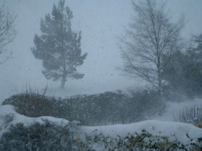
A second Fantastic Picture of the Blizzard on the North York Moors |
|
|
|
|
|
|
 |
|
|
 |
|
|
|
|
|
|
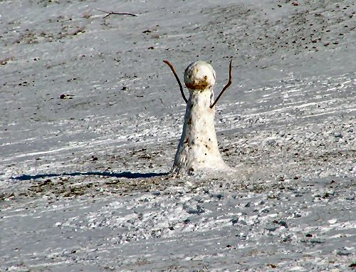
Erik Metz also decided a snowman would best fit the situation...great attempt! |
|
|
|
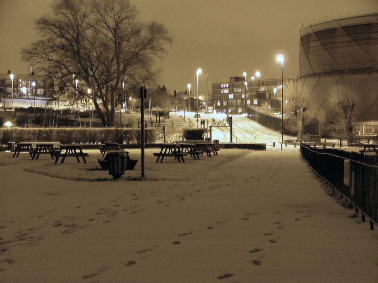
Fantastic capture of 'Urban Snowfall' by Erik Metz in Gillingham |
|
|
|
|
|
 |
|
|
 |
|
|
|
|
|
Dean Barnes Decided He knew exactly what to do with his snowfall! |
|
|
|
|
|
|
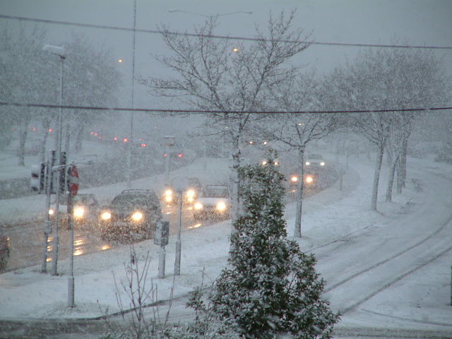
A stunning Picture of snowfall on the A45 in Coventry |
|
|
|
|
 |
|
|
|
|
|
|
Home
E-mail Me Your Pictures |
|
|
|
|
|
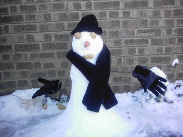
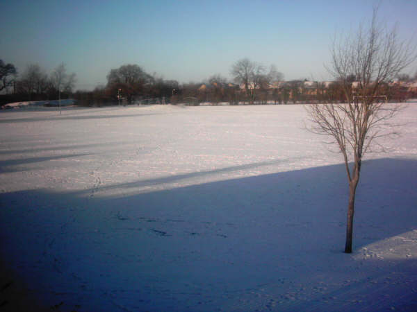
Virgin Snowfall in Witney Oxfordshire, by Dean Barnes |
|