 |
| ROTORUA |
 |
| Rotorua The name Rotorua comes from the Maori language. The full name is Te Rotorua-nui-a-Kahumatamomoe. Roto generally means lake and rua meaning two, "Kahumatamomoe" is the name of an Uncle to the man who named the area, Ihenga. Literally translated Rotorua means the second lake. As mentioned earlier it was named by the Maori chief Ihenga, as it was the second major lake that he discovered which he dedicated to his uncle Kahumatamomoe. The lake is the largest of a multitude found to the north and east of the city, all connected with the Rotorua Caldera and nearby Mount Tarawera. The area was initially settled by Maoriof the Te Arawa Iwi. The lakeshore was a prominent site of skirmishes during the New Zealand Wars of the 1860s. A "special town district" was created in the 1880s, in order to promote Rotorua's potential as a spa. Rotorua was established as a borough in 1922. |
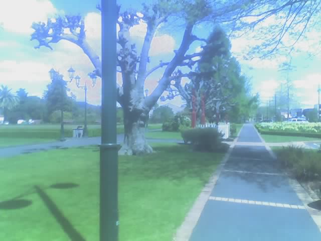
| Kuirau Park Situated within the junction of Ranolf Street and Lake Road, Kuirau Park is a popular inner-city reserve. Kuirau Park occupies an area of geothermal activity typified by many hot springs, gas and steam upflows, thermally altered ground and silica deposits from prehistoric times. Much of the southern part of the reserve was developed during the Depression of the 1930's. Until then it was almost entirely swamp but covered with a heavy growth of manuka. The northern part of the reserve wasn't developed until later and still contains many geothermal features. Kuirau Park is part of the Rotorua Walkway and, as in all geothermal areas, you are advised to stay on the walkway for your safety. |
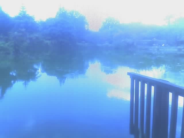
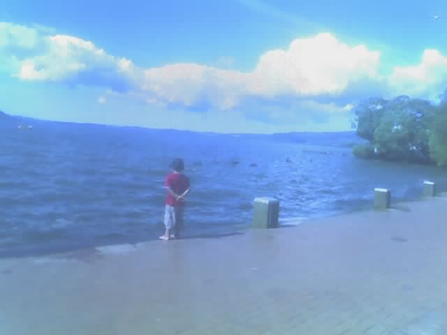
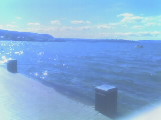
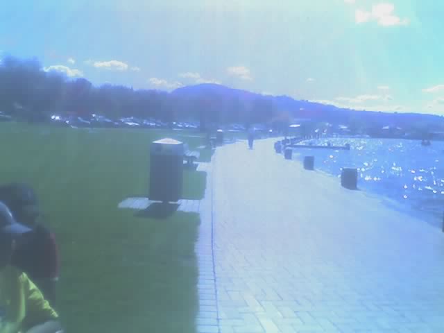
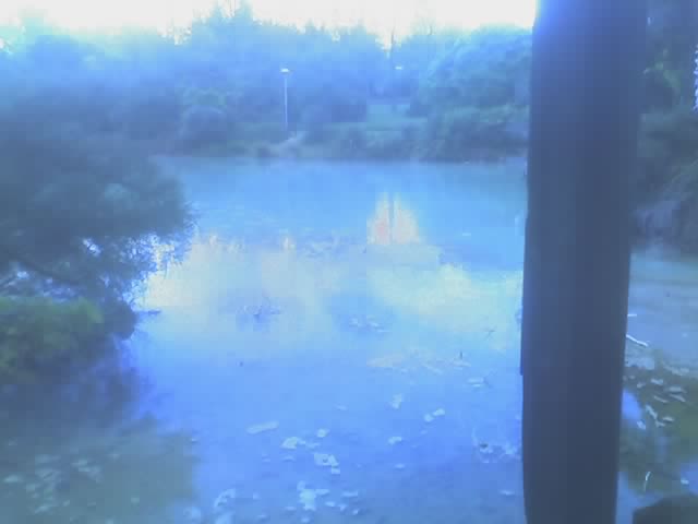
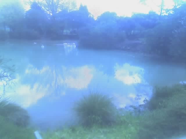
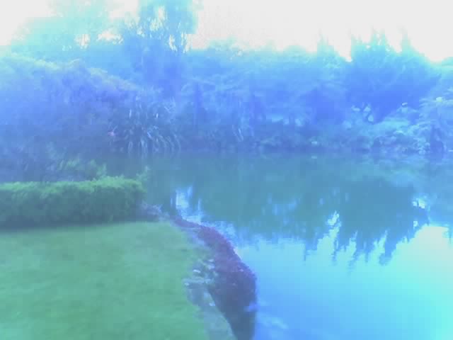
| Lake Rotorua Lake Rotorua is the second largest lake in the North Island of New Zeland, and convers 80 km2. It is located in the Bay of Plenty region 50 kilometres south of Tauranga. The city of Rotorua is sited on its southern shore. The lake was formed from the crater of a large volcano in the Taupo volcanic zone. Its last major eruption was bout 140,000 years ago. After the eruption, the magma chambver underneath the volcano collapsed. The circular depression left behind is the Rotorua Caldera, which is the site of the lake. Several other lakes of volcanic orgin are located nearby to the east, around the base of the active volcano Mout Tarawera. A chanin of three lakes (Rotoiti, Rotoehu and Rotoma) are located to the northeast of Lake Rotorua. Lakes Rotorua and Rotoiti are connected by a small channel, and both drain to the Bay of Plenty via the Kaituna River. Mokia island, close ot he centre of the lake, is a rhyolite dome. It is probably New Zealands best known lake island and is closely associated with one of the best known Maori Legends, that of Hinemoa and Tutanekai. Owing tto the geothermal activity around the lake (including still active geysers and hot mud pools), the lake has a high sulphur content. This gives the lake�s waters an unusual yellowish-green hue. nusual yellowish-green hue. |
 |
 |
 |
 |
 |
 |
 |
 |
 |
 |
 |
 |
 |
 |
 |
 |
 |
 |
 |
 |
 |
 |
 |
| NEW ZEALAND |
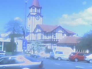
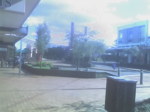
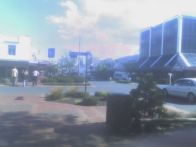
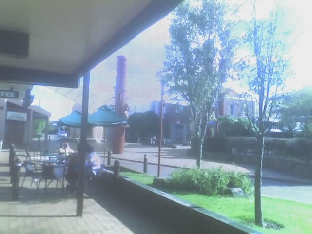
| Central City |
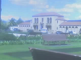
| Rotorua Courthouse |
| Central City |
| Central City |
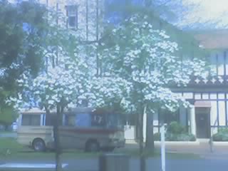
| Rotorua Information Centre |
| Rotorua Information Centre |
| Rotorua Information Centre |
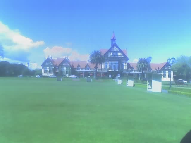
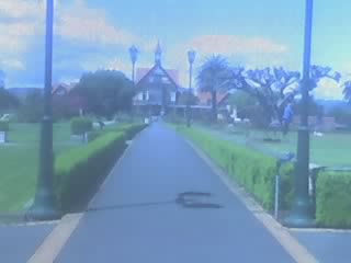
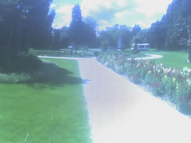
| Government Gardens One of the major parks in the central city is the Government Gardens, located in Hinemaru Street. The Government Gardens provides a perfect backdrop to any wedding picture. The Klamath Falls Rose Gardens, Band Rotunda, Te Runanga Tearooms and Blue Baths are all located in the Government Gardens. |