 |
 |
 |
 |
 |
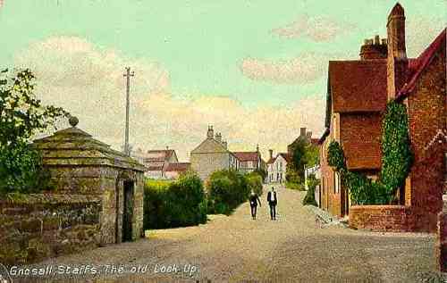 |
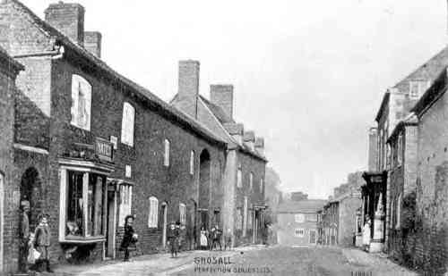
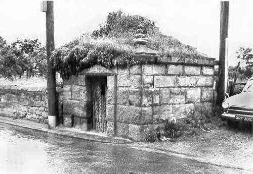
| This T- junction area showing the old Lock-Up has become a crossroads-cum roundabout. The Lock-up has been restored and removed to the junction with Sellman Street and Stafford Road. |
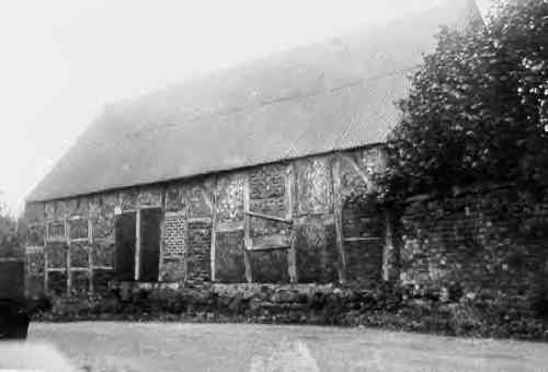
| There is an entry at the top of the hill, to the right of the white house (which in my time was the doctor's surgery) which leads to the barn, church and school. The school is now a community centre. The barn was still standing in the late '50's but had definitely been pulled down by the mid '60's, the ground area being incorporated into the garden of the 'White House'. |
| I do remember being told as a child (by an old gentleman) that the barn had been a temporary home for "people who had less than two ha'pennies to rub together". Newport Union used Gnosall 'old parish workhouse' as one of its establishments for the reception of paupers'. see: 1851, The Parish of Gnosall. |
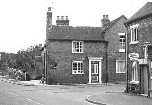
| The High Street, (looking towards Audmore Road) with the Post Office building (then a private dwelling) in the far distance. (1965 photo above). |
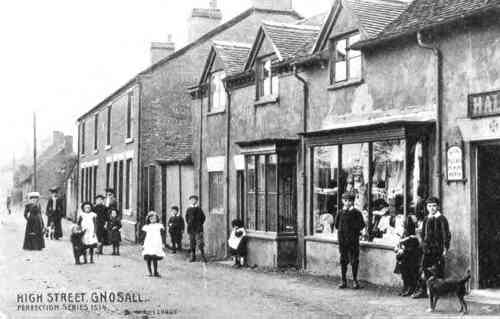
| High St. looking towards Gnosall Heath: if you walk into the distance you will come out at the top of the hill in the 'lock-up' postcard (below). |
| Old Gnosall, in pictures. |
| (19th and 20th centuries) |
 |
 |
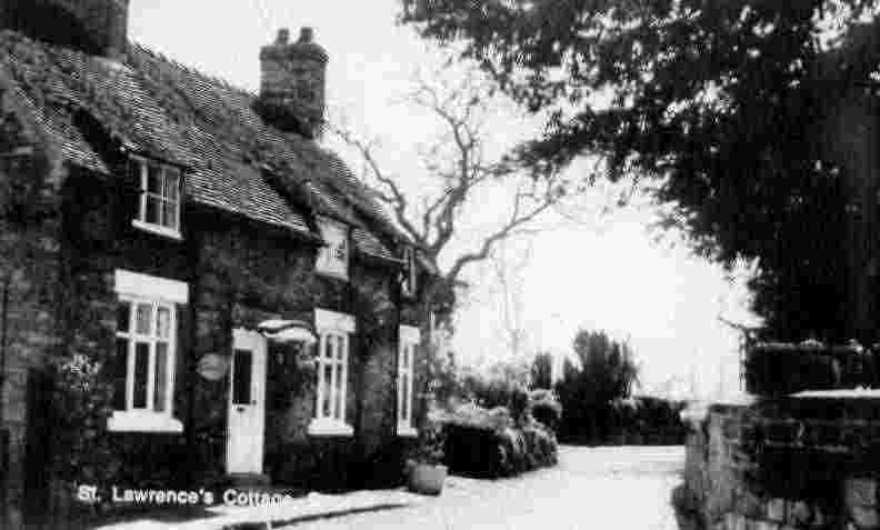
| St Lawrence Cottage, Sellman St., from High St. |
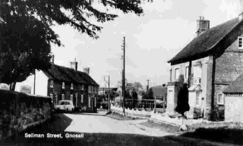
| Sellman Street, from Stafford Rd. This is also the road along which funerals process to the public cemetery on the far side of Stafford Rd. (There is a gate exit in the churchyard wall (left in the photo') at the point where the car is parked.) |
| The building was the village tithe barn, originally. |