CIRCUITO IDA POR RÍO GAS Y VUELTA POR RÍO ARAGÓN
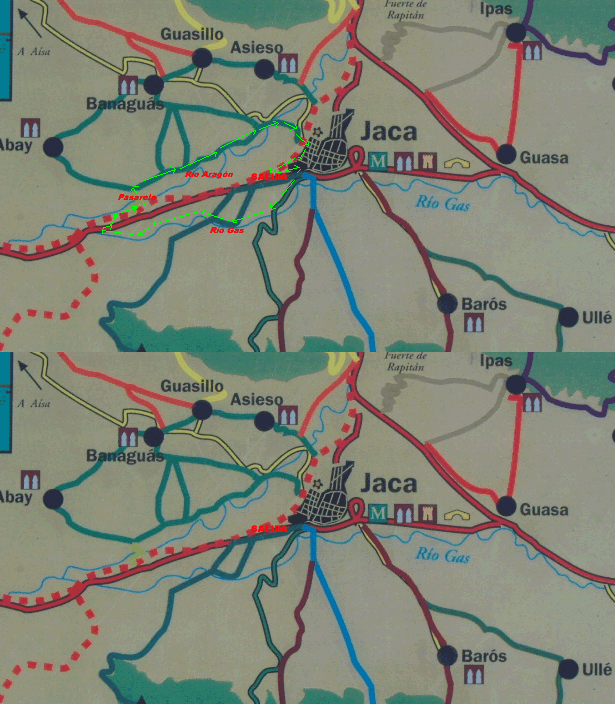
Picar en la imagen para ver la foto ampliada |
RECORRIDO DE LA MARCHA |
Picar en la imagen para ver la foto ampliada |
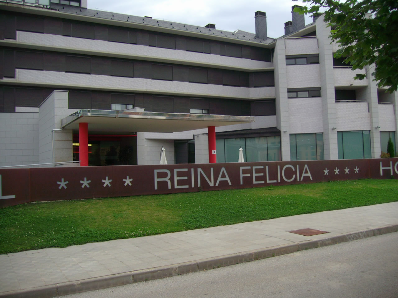 |
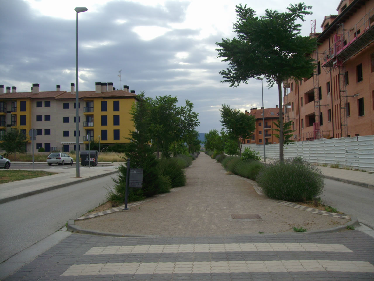
SALIMOS DEL HOTEL REINA FELICIA, EN LOS LLANOS DE LA VICTORIA, HACIA LA ROTONDA DE LA GASOLINERA. Estas fotos fueron tomadas a las 7,42 y 7,43 horas |
 |
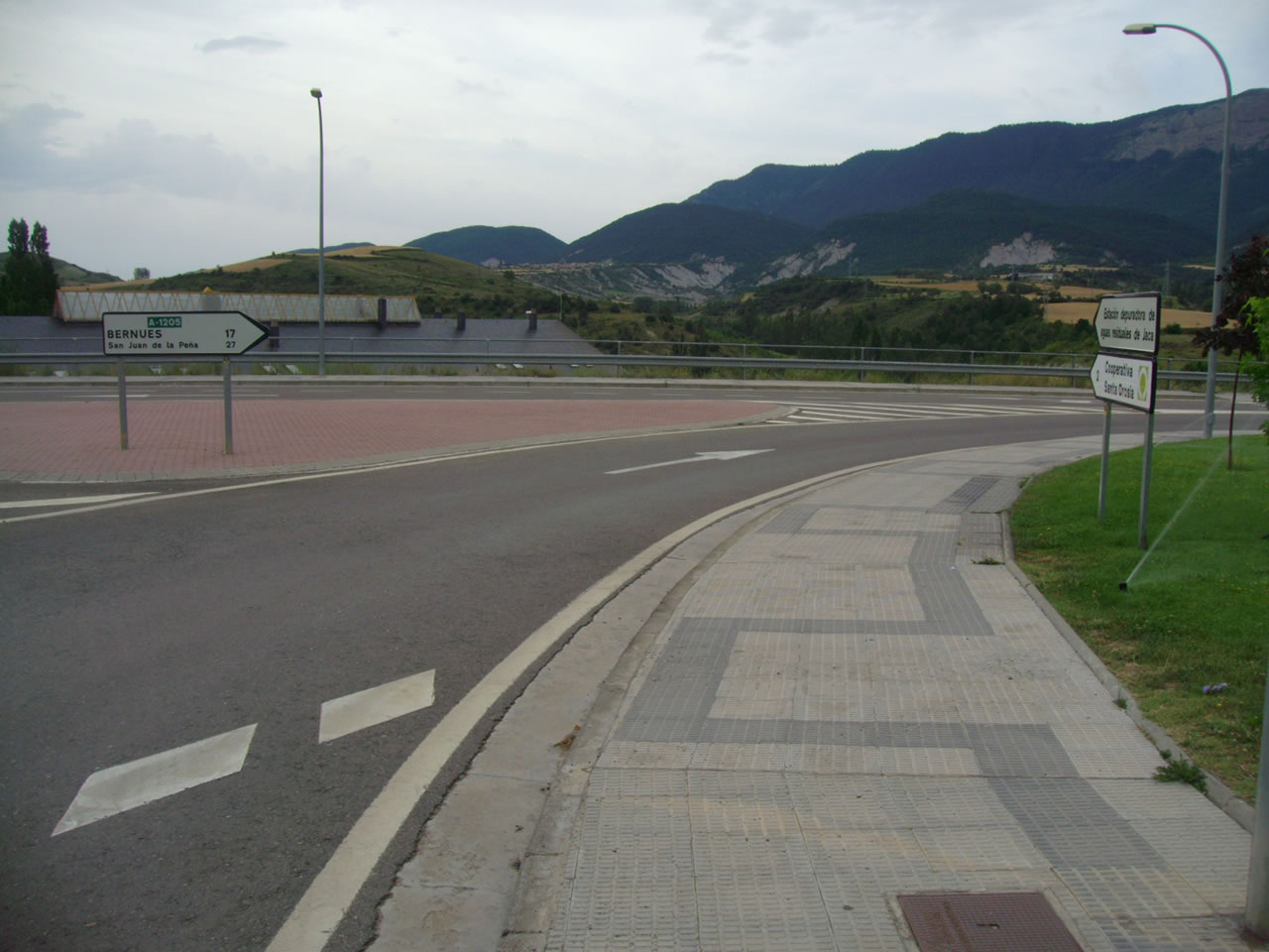 |
EN LA ROTONDA DE LA GASOLINERA NOS VAMOS POR LA CARRETERA A-1205 HACIA BERNUÉS Y SAN JUAN DE LA PEÑA. Estas fotos fueron tomadas a las 7,51 y 7,53 horas |
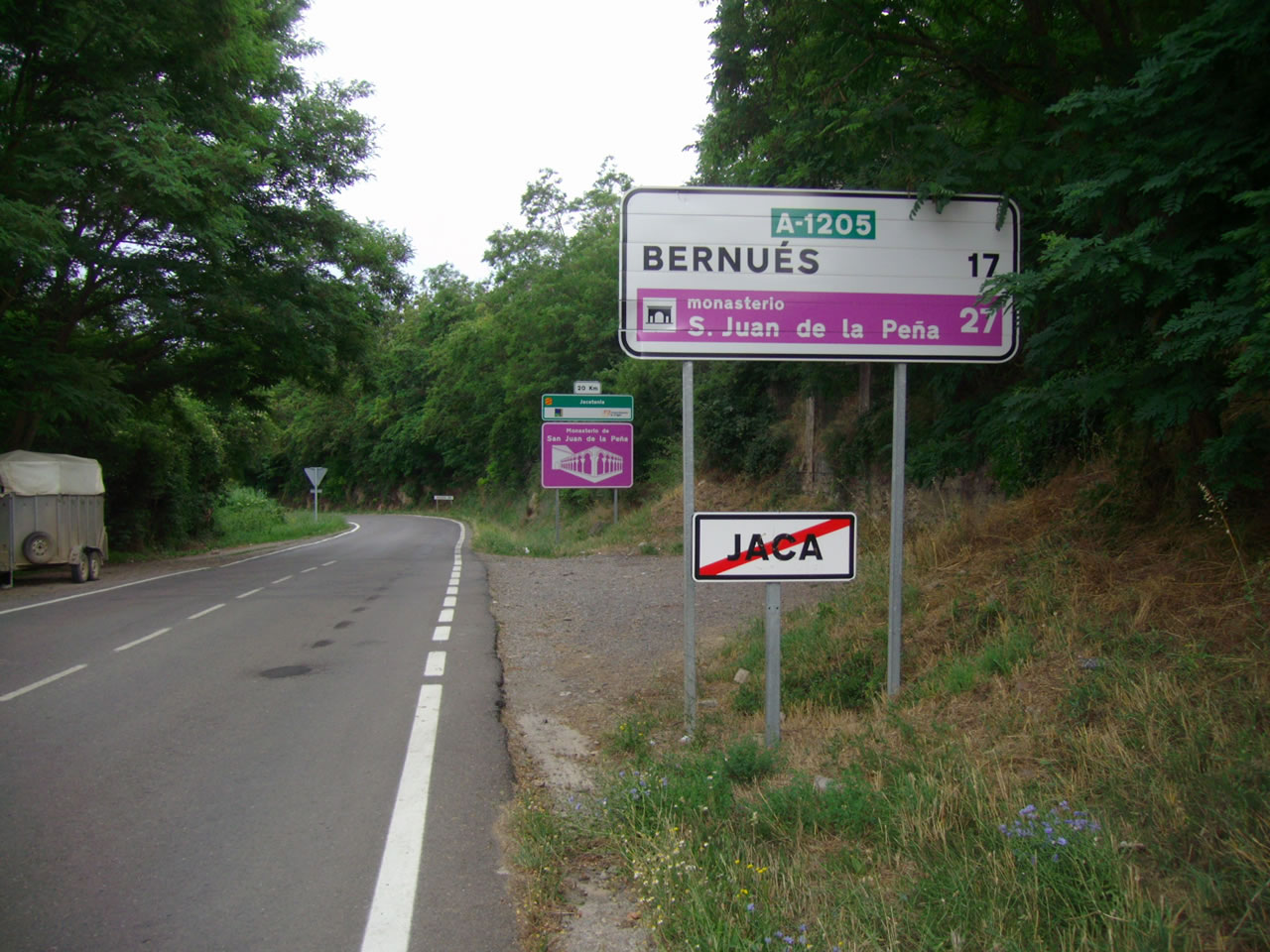 |
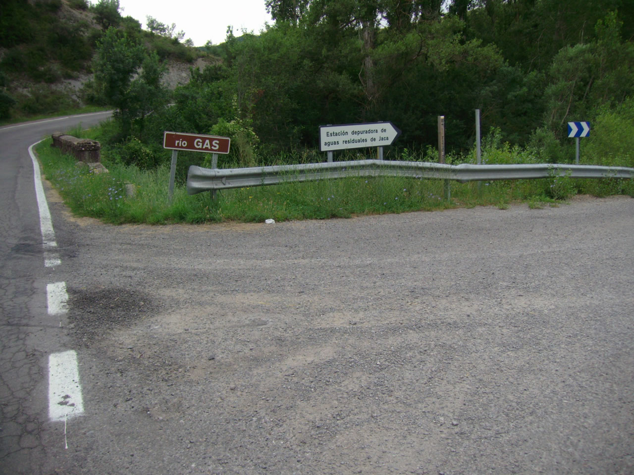 |
JUSTO ANTES DEL PUENTE SOBRE EL RÍO GAS TOMAMOS EL DESVIO HACIA LA DERECHA QUE NOS LLEVA POR PISTA ASFALTADA HACIA LA DEPURADORA. Estas fotos fueron tomadas a las 8,04 y 8,15 horas |
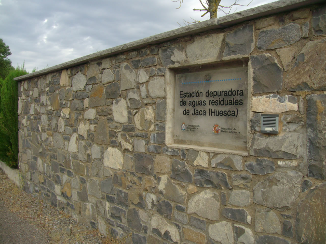 |
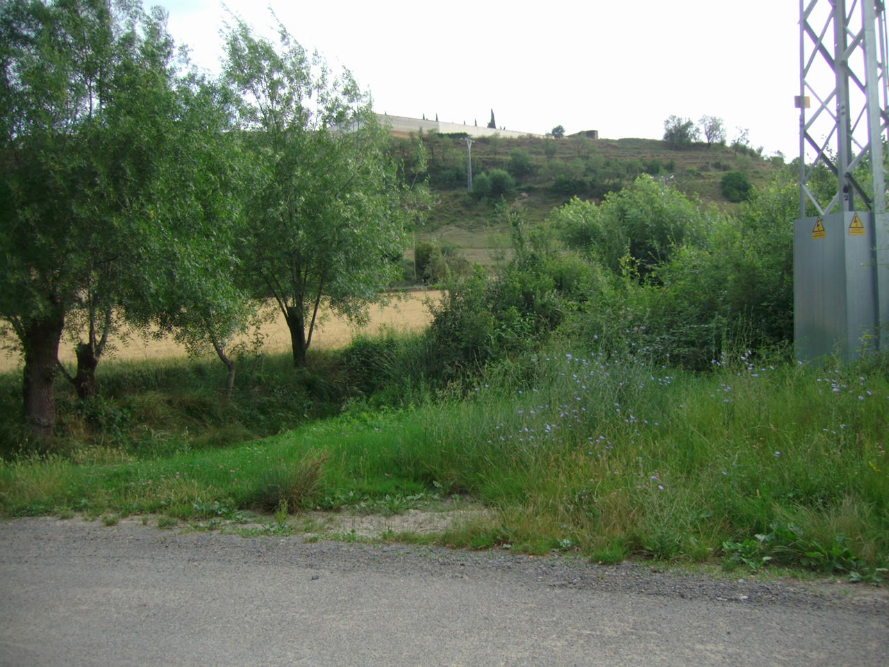 |
AL FINAL DE LA DEPURADORA TENEMOS A LA DERECHA LA SENDA QUE NOS SUBE A LOS LLANOS DE LA VICTORIA Y A LA IZQUIERDA EL PUENTE SOBRE EL GAS QUE LLEVA A ATARÉS. Estas fotos fueron tomadas a las 8,17 horas |
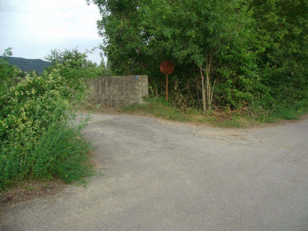 |
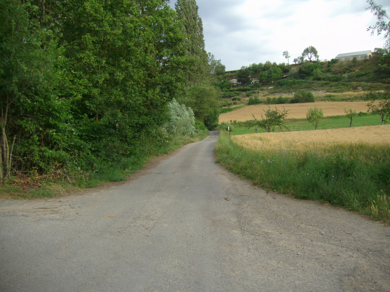 |
SEGUIMOS POR LA PISTA ASFALTADA TENIENDO SIEMPRE EL RIO GAS A NUESTRA IZQUIERDA. Estas fotos fueron tomadas a las 8,18 Y 8,33 horas |
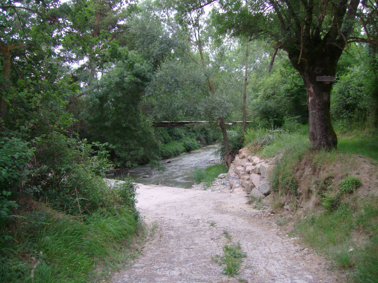 |
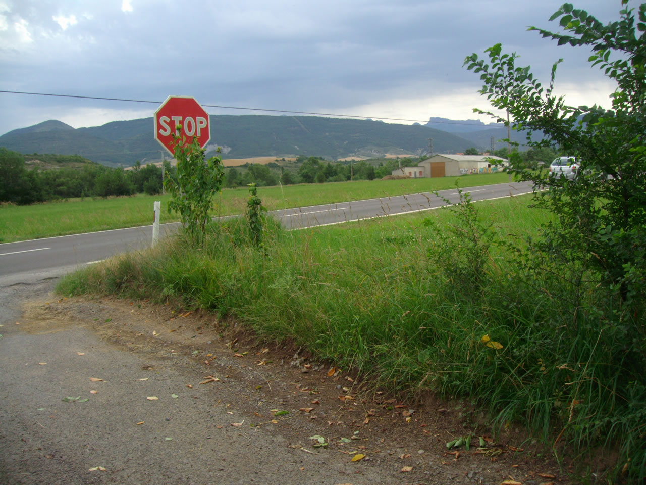 |
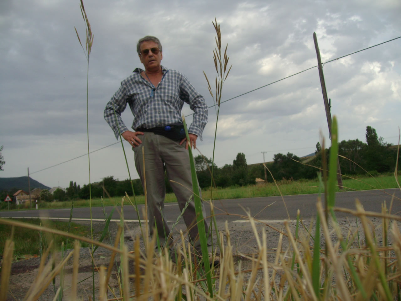
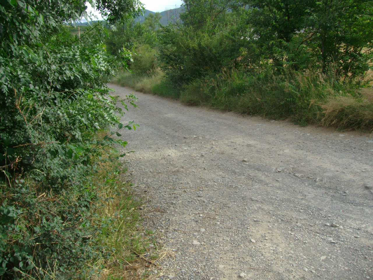
LLEGAMOS A LA CARRETERA JACA-PAMPLONA Y NOS HACEMOS UNA FOTO DESPUÉS DE GIRAR A LA DERECHA Y CAMINAMOS HACIA JACA. Estas fotos fueron tomadas a las 8,42 y 8,43 horas |
 |
 |
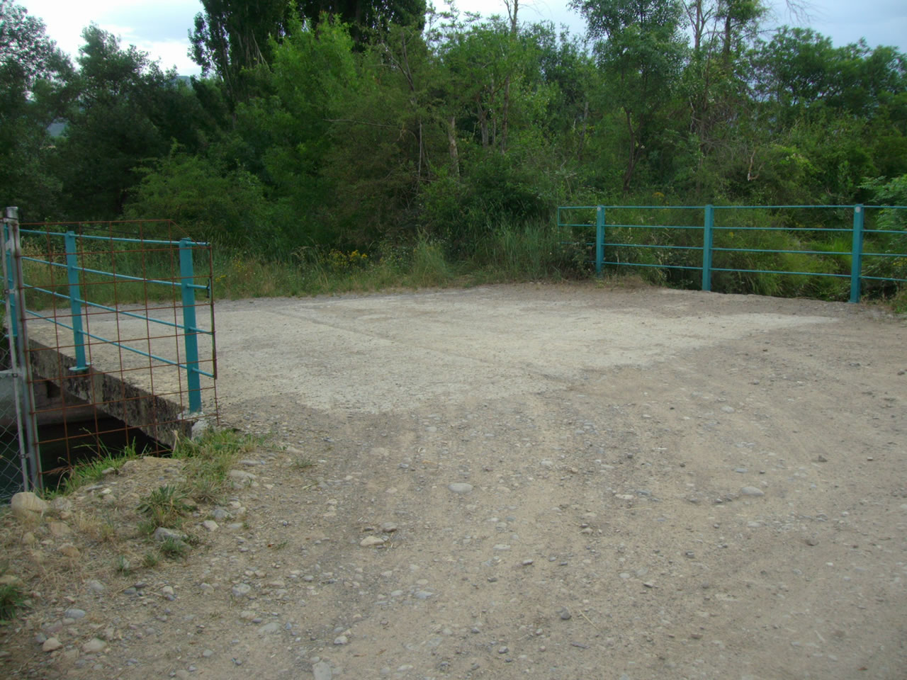
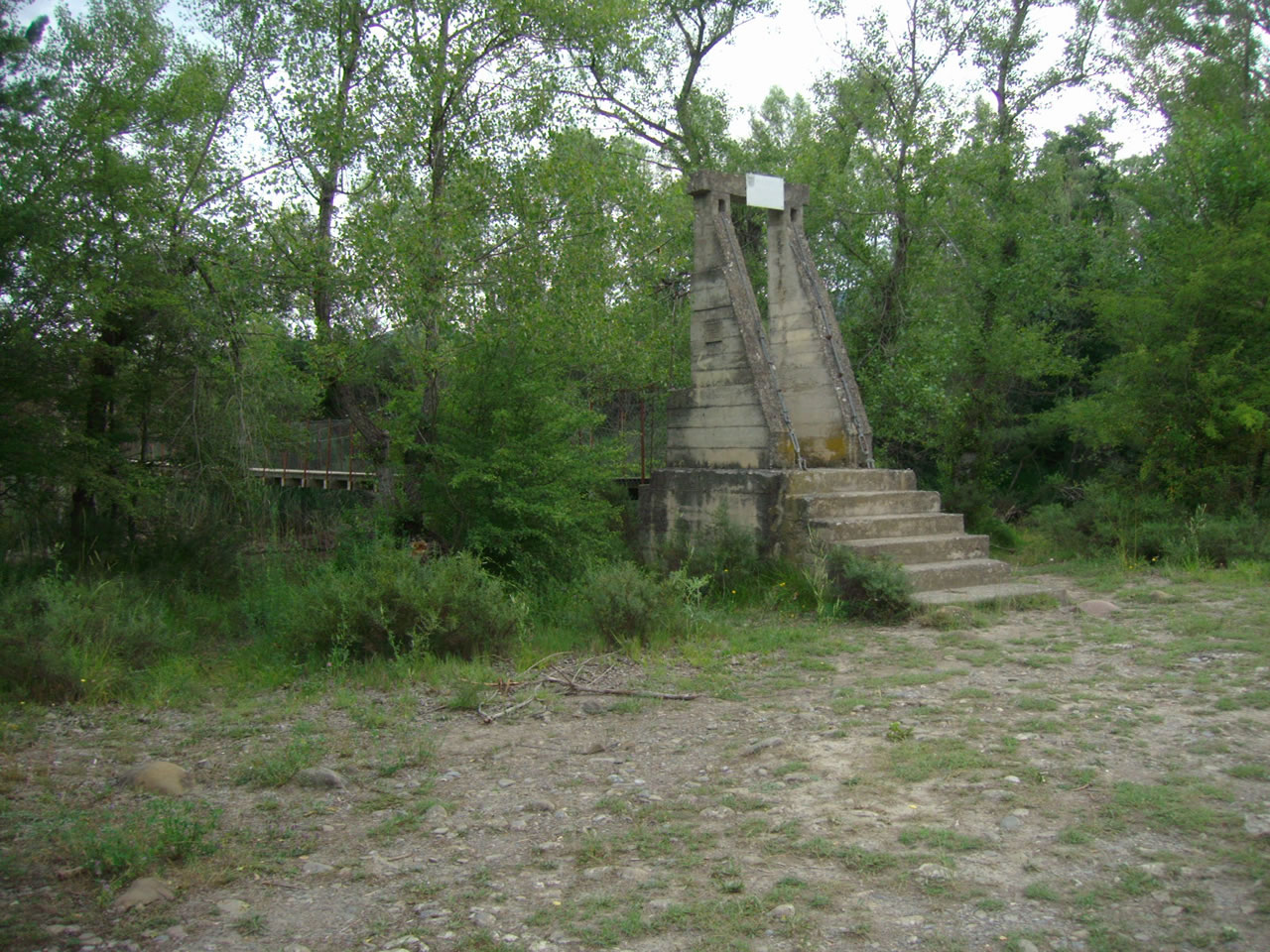
A LOS POCOS METROS NOS DESVIAMOS POR UNA PISTA DE TIERRA A LA IZQUIERDA PARA COGER EL CAMINO DE SANTIAGO HASTA UN PUENTE SOBRE UNA ACEQUIA QUE CRUZAMOS. Estas fotos fueron tomadas a las 8,48 y 8,51 horas |
 |
 |
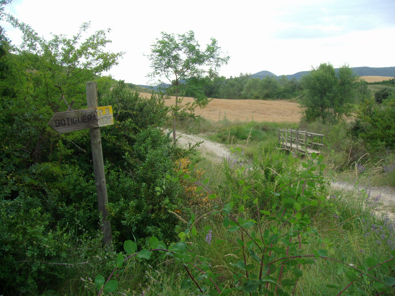
AL CRUZAR LA ACEQUIA NOS ENCONTRAMOS UNA SEÑAL QUE NOS INDICA HACIA LA PASARELA Y NOS DIRIGIMOS HACIA ELLA. Estas fotos fueron tomadas a las 8,51 y 8,55 horas |
|
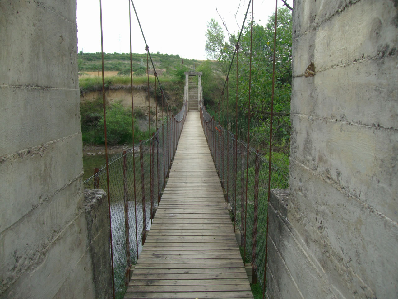 |
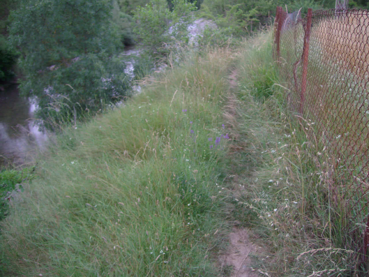
CRUZAMOS LA PASARELA SOBRE EL RIO ARAGÓN Y NOS VAMOS A LA IZQUIERDA POR UNA SENDA ESTRECHA. Estas fotos fueron tomadas a las 8,55 y 8,56 horas |
 |
 |
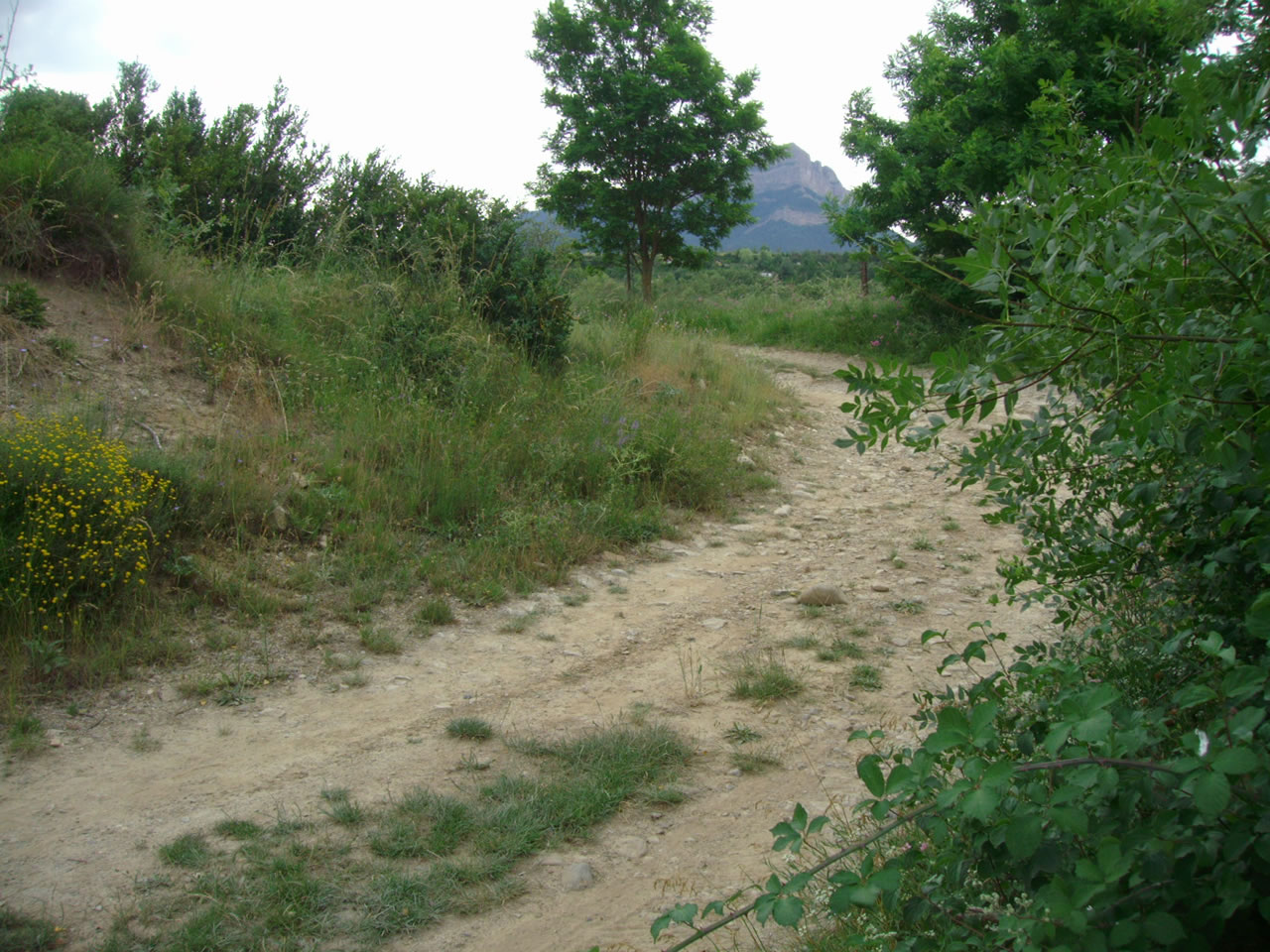
LA SENDA ESTRECHA TERMINA EN UNA PISTA ANCHA QUE TOMAMOS A LA DERECHA. Estas fotos fueron tomadas a las 9,03 horas |
 |
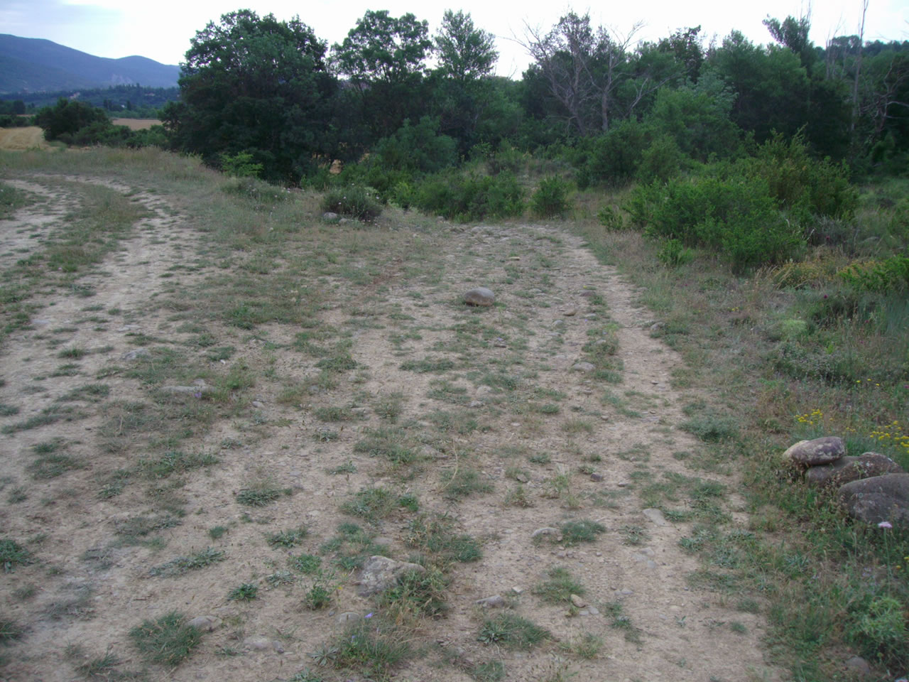 |
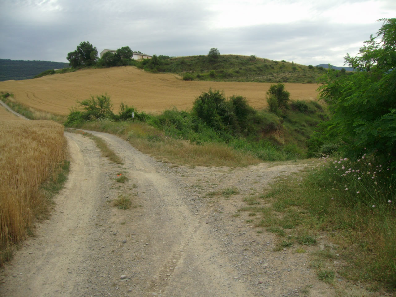
NOS ENCONTRAMOS CON DESVIOS A LA IZQUIERDA, PERO NOSOTROS SIEMPRE A LA DERECHA. Estas fotos fueron tomadas a las 9,22 y 9,35 horas |
 |
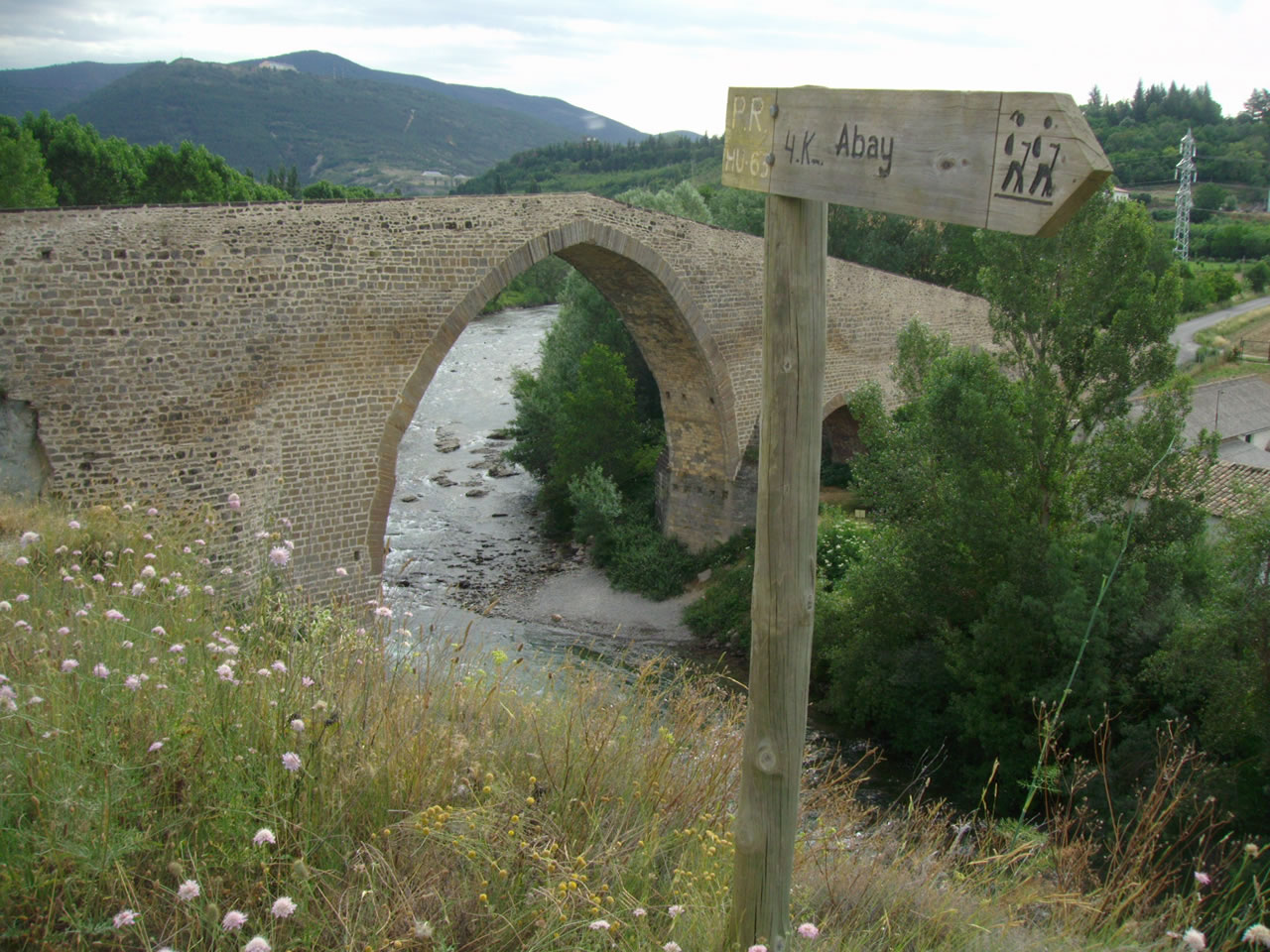 |
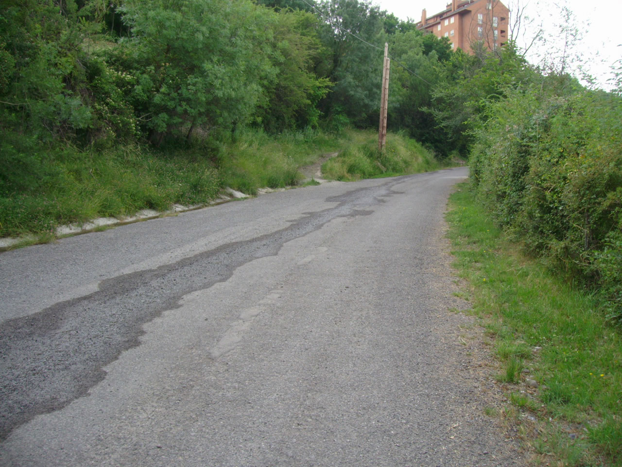
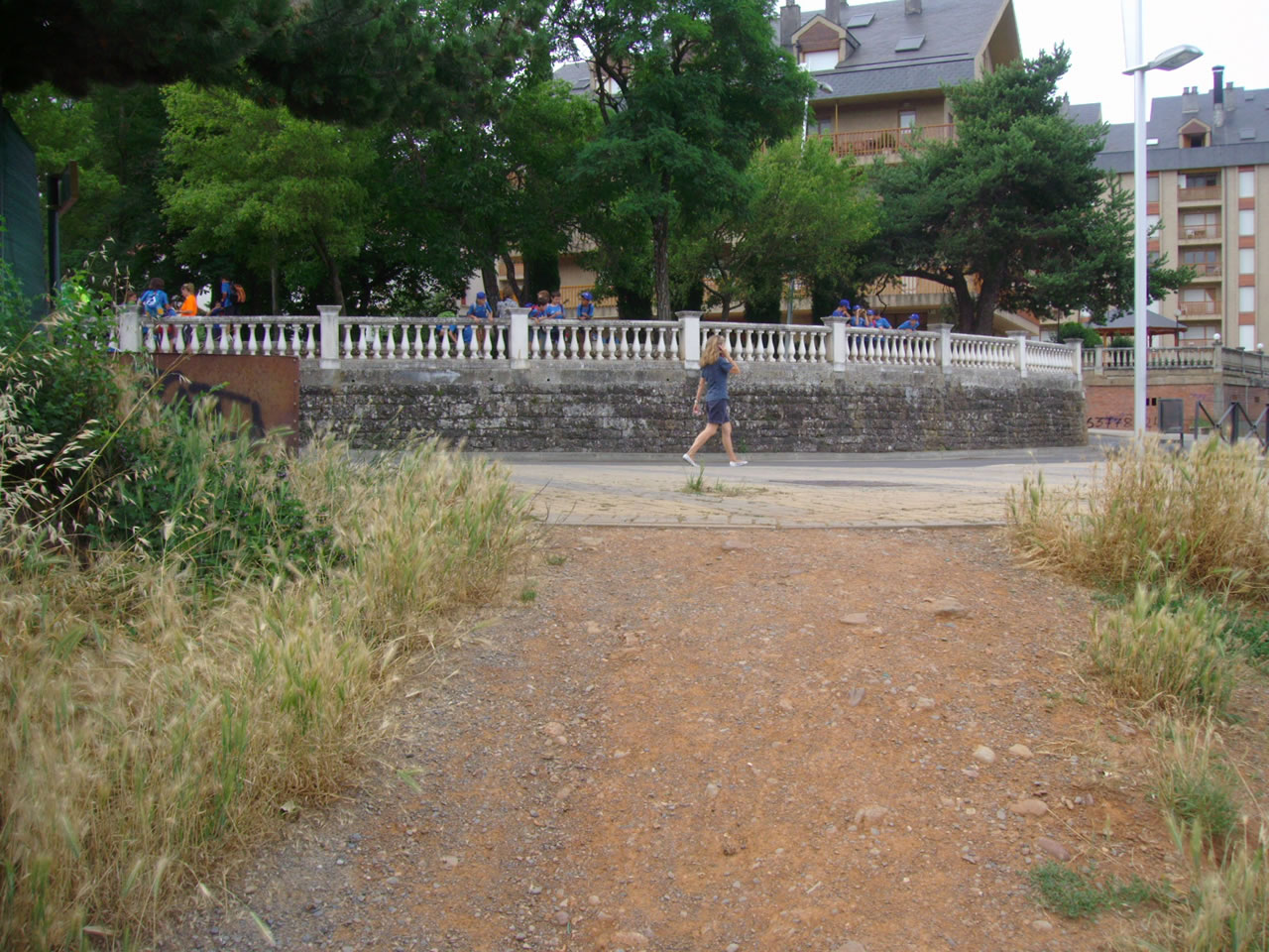
LLEGAMOS AL PUENTE DE SAN MIGUEL Y LO CRUZAMOS PARA SEGUIR POR UNA PISTA ASFALTADA HASTA, CERCA DE LA CIUDAD, COGER UNA SENDA A LA IZQUIERDA. Estas fotos fueron tomadas a las 9,48 y 9,55 horas |
 |
 |
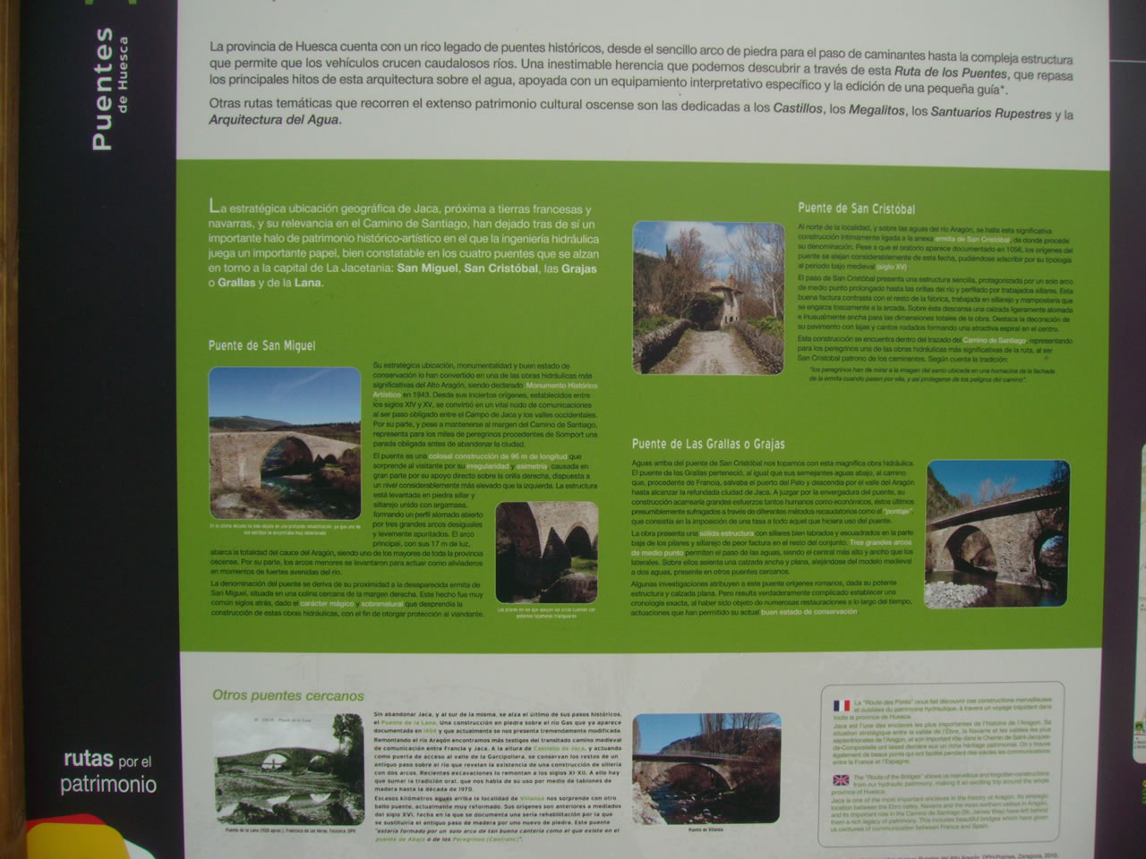
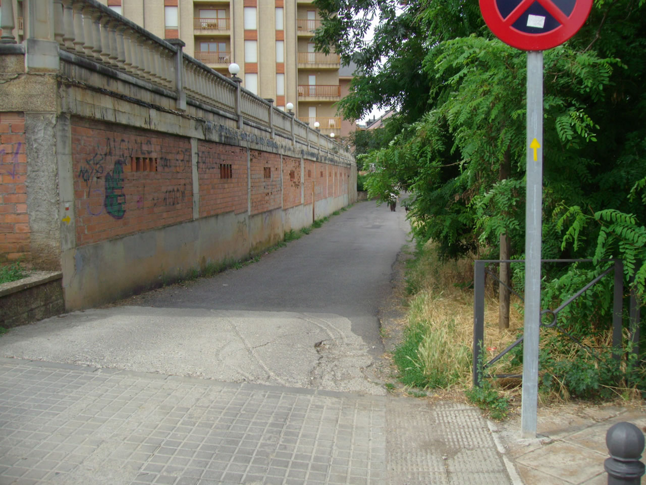
LA SENDA NOS LLEVA AL ROMPEOLAS EN DONDE ENCONTRAMOS INFORMACIÓN SOBRE LOS PUENTES DE LA ZONA. Estas fotos fueron tomadas a las 9,58 y 9,59 horas |
 |
 |
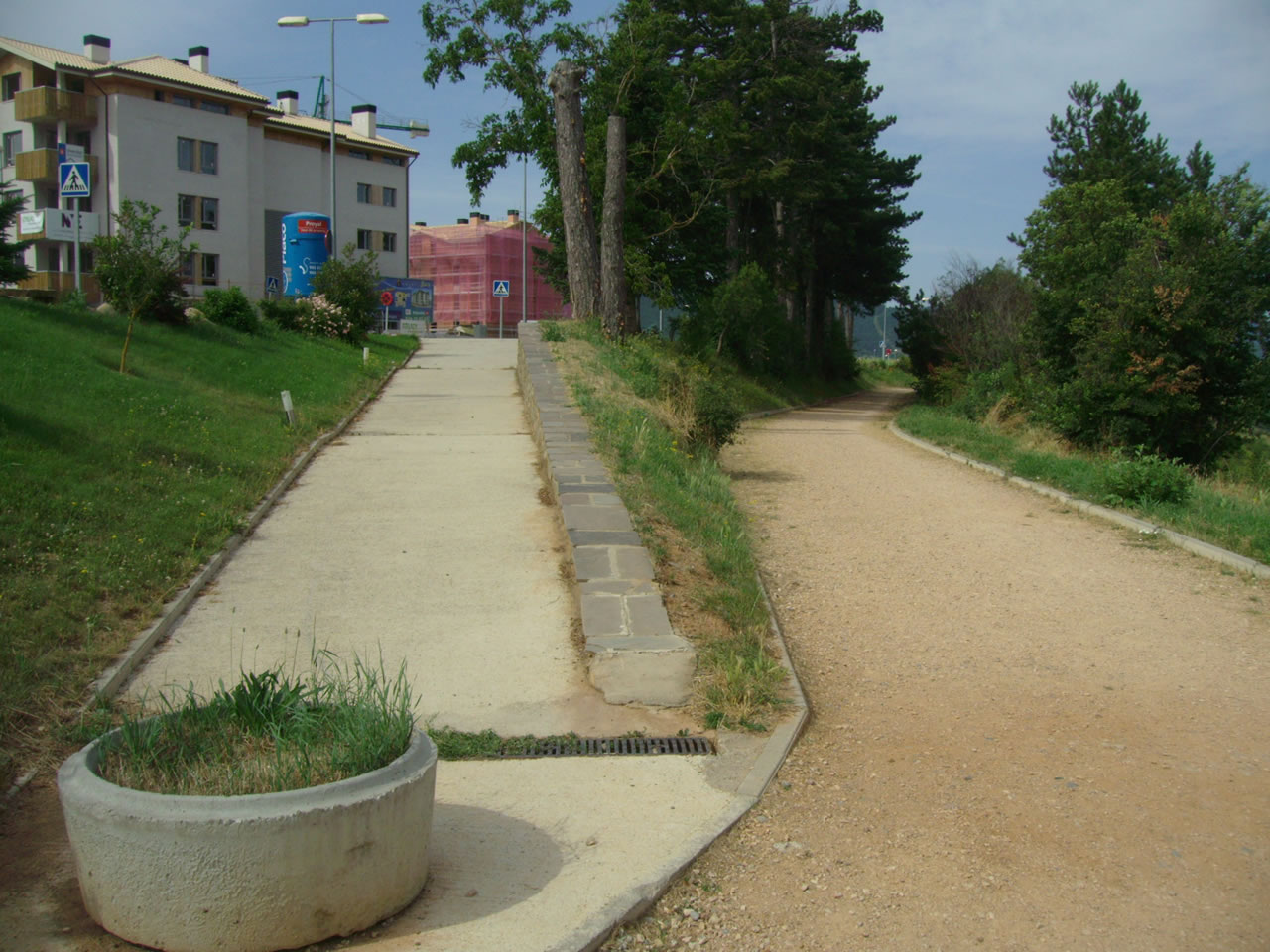
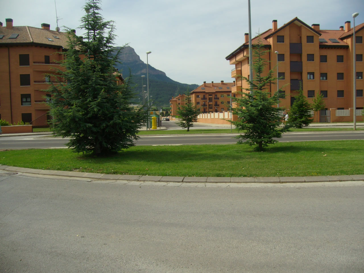
SEGUIMOS POR EL CAMINO DE SANTIAGO HACIA SANTA CILIA HASTA QUE NOS DESVIAMOS A LA IZQUIERDA PARA SUBIR A LOS LLANOS DE LA VICTORIA. Estas fotos fueron tomadas a las 9,59 y 10,55 horas |
 |
 |
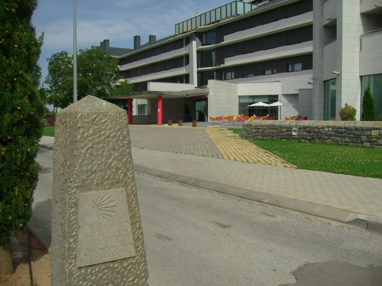
CRUZAMOS LA CARRETERA JACA-PAMPLONA PASANDO POR EL PROYECTADO INSTITUTO PIRENAICO DE ECOLOGIA Y LLEGAMOS AL PUNTO DE SALIDA. Estas fotos fueron tomadas a las 11,00 y 11,04 horas |
 |