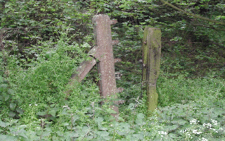
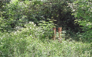
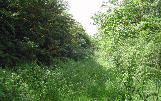
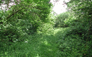
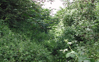
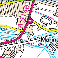
Here the ------ line which shows the dismantled railway path as it pass the area shown above. The pictures taken above are from the edge of the left hand side of map to just where you see what looks like a dead end road (seen as a funny y shape) to the bottom left. The cycle track then joins the railway path just pass this road and the bridge on the map just pass this point can be seen on the next page.