South Fork American River (Jan 3rd & 4th, 04): Gorge (Henningsen-Lotus Park to Salmon Falls Bridge, 11 miles)
I took off Friday early, 4pm, in order to get to Sacramento for the weekend to kayak. I was managed to hook up with Laura from the 'Gold Country Club' in Sacramento. It's one of the largest whitewater kayaking clubs around sacramento.
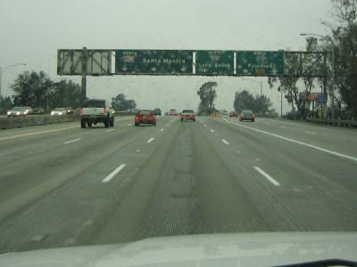
On my way to pick up Dan.
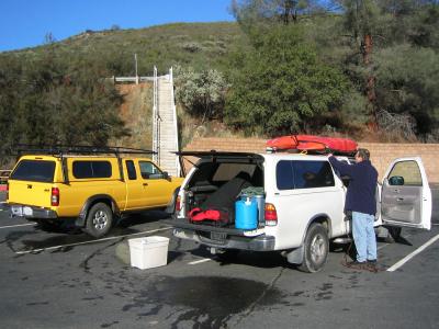
Dan unloading our boats. We camped both nights and it was cold in winter.
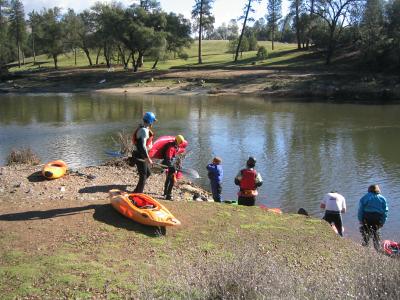
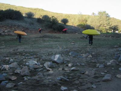
Parking lot where we met other boaters. This is also the take-out.
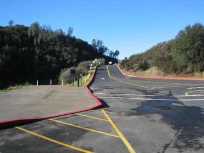
The gate at the put-in.
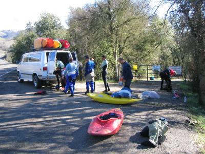
We put-in at the lake which is just a short walk from the gate.
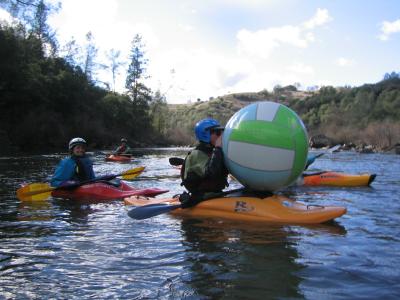
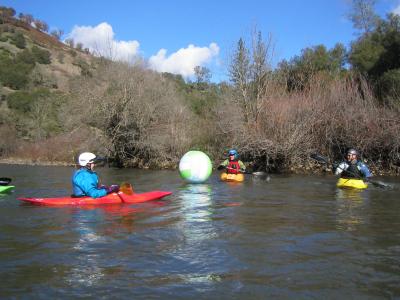
Laura found a beach ball so we decided to play kayak polo.
Someone get the ball!!!!
Later, the wind started to blow upstream and the ball kept running upstream. Soon, we got tired of chasing the ball and stopped.
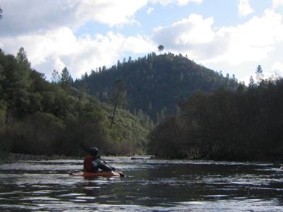
This is the Lollipop tree at the top of the mountain and indicating the beginning of the Gorge section.
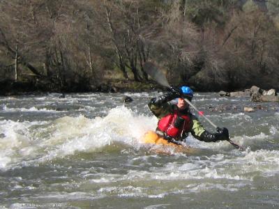
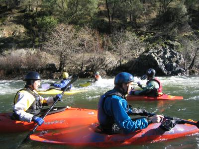
Ken coming down.
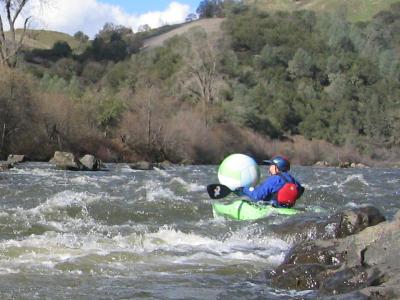
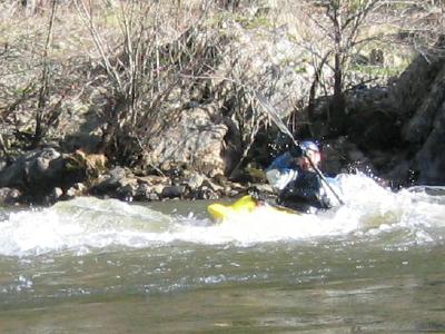
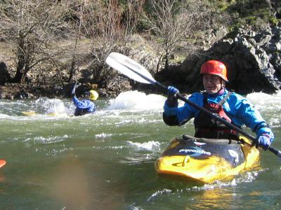
Surfing.
We hiked up the hill at the take-out and the sun was just setting. We left Sacramento around 4pm and got home around 11:30pm.
Here are the directions Laura gave me to the take-out. I don't have the directions to the put-in at this moment. "...here's directions from Hwy 50 in sac Take Hwy 50 east toward Placerville Exit El Dorado Hills Blvd. the exit curves you around to go under the freeway. Stay on El Dorado Hills Blvd. Follow this thru 5 or 6 spaced out signal lights, and one stop sign, then the name of the road changes to Salmon Falls Road at the last light at Greenvalley (rd?) continue straight thru the light. Just after that light the road seems to split, the right "split" is Salmon Falls, stay on it! Then you have about 10 minutes or so of curvey road, imediately after going over a bridge (over the South Fork) turn right into the Skunk Hollow parking lot, and our meeting place."