

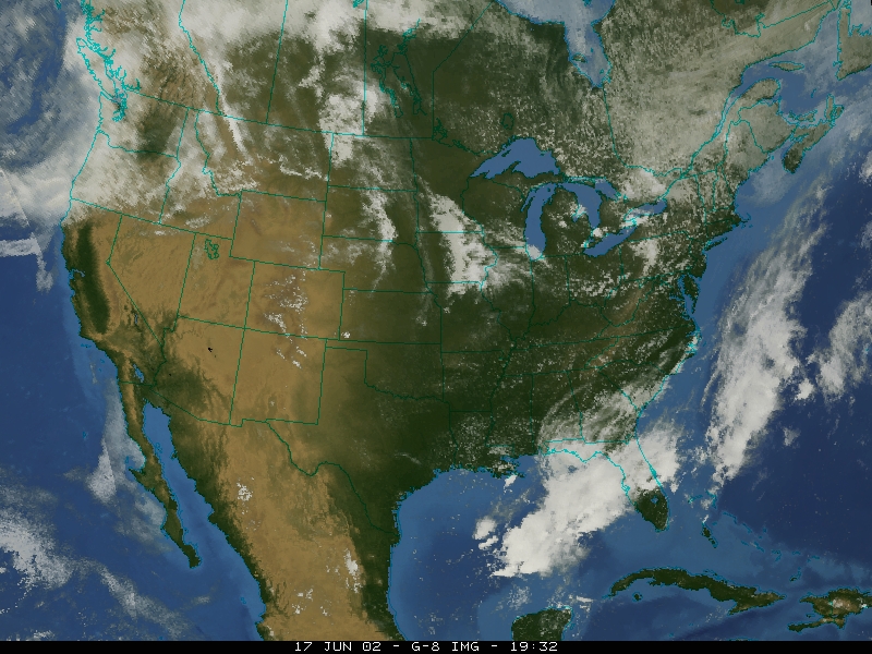
Launched by NASA in 1975, the first GOES satellite was produced for the National Oceanic and Atmospheric Administration (NOAA), to gain information about the composition of Earth and its atmosphere. GOES satellites follow a geosynchronous orbit, which allows them to maintain an orbit approximately 35,800 km (22,300 miles) above a single position on the Earth's surface. GOES images can be used to track tornadoes, hurricanes, and hailstorms, and are used to estimate rainfall in order to issue flash flood and storm warnings. The sensors can also map ice movements and other changes in the terrain.
The goal of this project is to take a PC based "GOES Color Picture" application and implement it on a "flight-like" compact PCI platform. The first step in this project was to install a Compact PCI (Peripheral Component Interconnect)card in a chassis 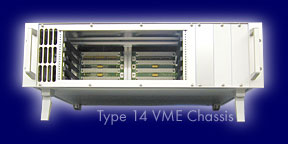 and network it with a PC. We then installed Wind River's Vxworks, a Real Time Operating System (RTOS) on the processor card, and used the Tornado II development system as our PC interface. Next, we installed a Spectrum Signal Barcelona
 Digital Signal Processing (DSP) card in the chassis. The Barcelona has four floating-point DSP processors, made by Texas Instruments. Using C language run in Code Composer Studio, we plan to eventually run a C function entirely on the DSP board. This project is still under development.
