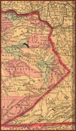
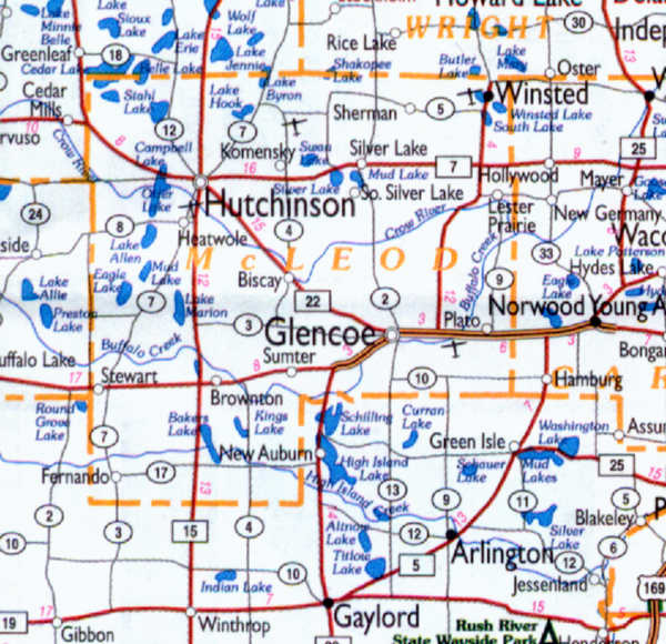
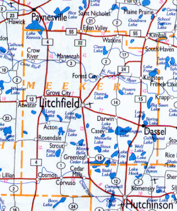
| There is a mention of John and Lydia (Hicks) McKinney's marriage in both the Floyd and Pike County records. They were probably from a part of Floyd County that became Pike, or vice versa. Be that as it may, they were married in 1840 and into Ohio sometime after the birth of Alexander (1843) and Theressa (1846), and before the 1850 Ohio census, where they are listed in Lawrence Twp, Lawrence Co., Oh. The other six children were born in Lawrence Co., Ohio. They left Ohio by steamboat in 1866. Traveling down the Ohio River, then back up the Mississippi River to Carver MN, they continued by covered wagon to what is now Meeker County, Minnesota clearing a road as they went. The McKinneys were some of the earliest settlers in the area. |