Latitude: 44.0455 (N 44° 02.730)
Longitude: -73.5113 (W 073° 30.678)
This dashpoint visited by Heather and Doug on Saturday, Feb. 21st.
 |
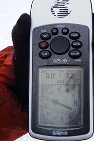 |
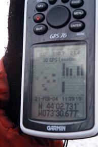
Dashpoint reached GD32-DARD
Latitude: 44.0455 (N 44° 02.730)
Longitude: -73.5113 (W 073° 30.678)
This dashpoint visited by Heather and Doug on Saturday, Feb. 21st.
|
|
|
Dashpoint reached GD32-DARD
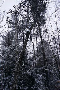
Began the geodash around 10 AM Saturday 2/21/04. Not wishing to ice fish on Lake Champlain until later in the afternoon we left Westport, NY traveling south on Rt. 9. Reaching Port Henry NY took the Old Moriah Plank Rd. east to Moriah Corners. Proceeded east on Essex County 42 to Windy Hill Rd. Geodashing point GD32-DARD located 5 ft. off the road in front of a country home with a barking dog and two horses.
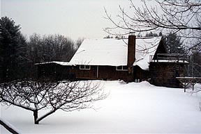
Country Home
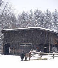
Two Horses
Cache Canister |
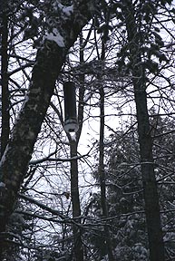
Cache Canister (close-up) |
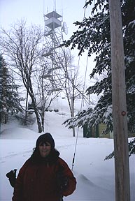
Heather Belfry Mountain Firetower |
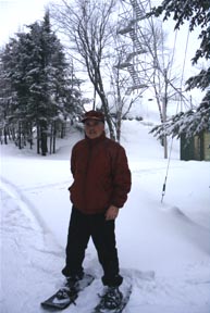
Doug Belfry Mountain Firetower |
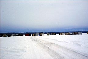
Ice Shanties
Two ice fishermen
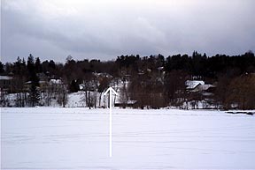
Heather's apartment (arrow) viewed from the ice covered waters of lake Champlain.
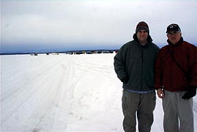
Two ice fishermen offshore
Downtown Westport
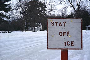
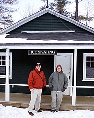
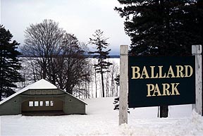
Disappointed ice skaters
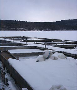
Ice shanties viewed from marina docks.
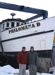
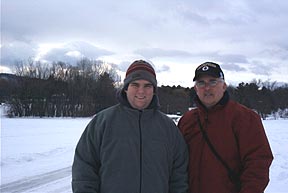
Two sailors
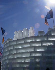
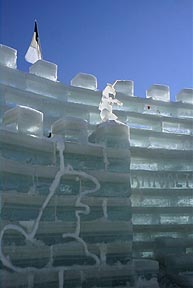
Ice Castle
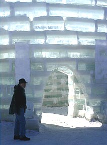
Entrance
Inside looking out