Geodashing & Geocaching
March 4, 2004
Geodashing
GD33-CUUF
Latitude: N 42° 48.594
Longitude: W 076° 38.112
Left the village of Union Springs, New York, on the Center Road
heading east. Center Road became Number #1 Road. On the north of
Number #1 Road there is an New York State historical marker.
Continued south on Davis Road. Went east on Great Gully Road turning
south on Rt. 34B. Took a right on to Chase Road. Heading southwest
and before approaching the dash point came upon a unique monument on
Chase Road. The dash point GD33-CUFF is 500 feet from the highway.
The dash point is just beyond a swimming hole. Since the farmland was
posted was unable to get any closer to the dash point. Geodashing
attempt failed.
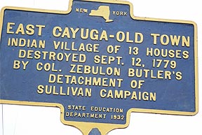
Sign on Number #1 Road
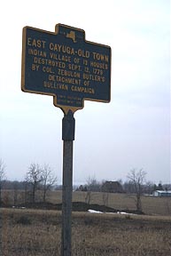
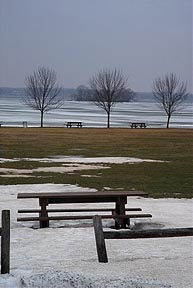
Sign - Cayuga Lake in the background
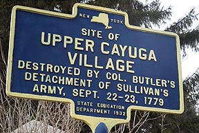
Sign on Chase Road
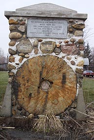
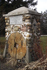
Unique monument on Chase Road
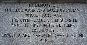
Inscription on monument
|
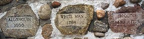
Timeline on monumnet
|
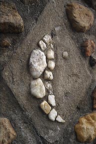
Design on west side of monument
|
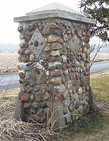
Northeast corner of monument
|
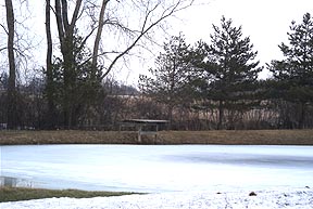
Swimming hole at dash point - GD33-CUFF
Geocaching
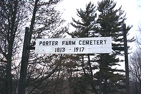
Frontenac
Mirco Cache
Frontenac Island in the background.
Stary
Stary Night!
Entrance to the cache site
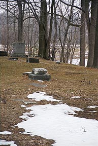
View near the cache
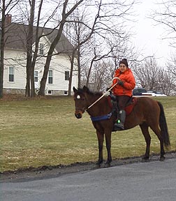
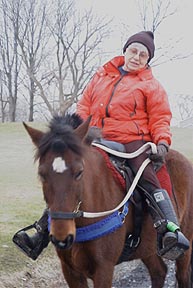
Laurie up on Ginny across from the cache site. Laurie and Ginny
use this route everyday year round.
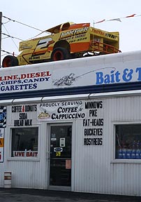
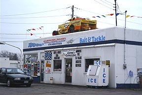
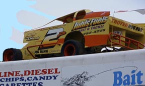
Juhls Fuels Car
Latitude: N 42° 55.104
Longitude: W 076° 35.690
[email protected]