GD36-CYIZ
Visited June 20, 2004
Happy Father's Day. Driving in the North Country in upstate New
York exited Rt. 81 at the Intersection 42. Traveled east on Rt. 177
through Adams Center. Continued on Rt. 177 passing through the Tug
Hill Plateau, one of the snowiest locales east of the Rocky
Mountains. Some winters, more than 400 inches fall. Coming into
Barnes Corner proceeded south on 7 By 9 Road to Loomis Road, a gravel
road, and turned west. Came to the turn at Hayes Road. From Hayes
Road the dashpoint in less than 470 feet into a farm field.
Backtracked to Loomis Road and continued east. Loomis becomes County
Line Road, a dirt ATV and snowmobile path. A dozen ATV riders were
using the road as I approached the dashpoint. They did not seem too
happy to see me blocking their passage. From County Line Road the
dashpoint is less than 200 feet but you have to bushwhack through an
overgrown ditch and bush line. The dashpoint in near a large tree in
the middle of the farm field which looks to be more of a hunting camp
than a farm.
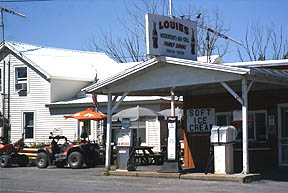
Louies - A Barnes Corner Staple
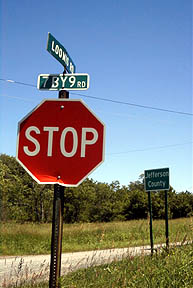
7 BY 9 Road - Looking North
Loomis Road Sign
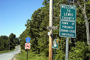
Loomis Road Welcome
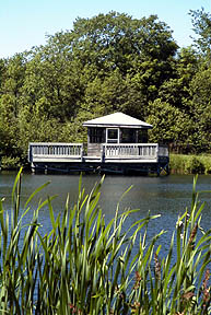
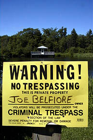
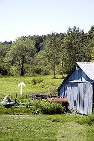
Nice Spot - Wonder why Joe does not want to
share?
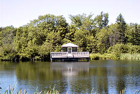
At least one can enjoy the view.
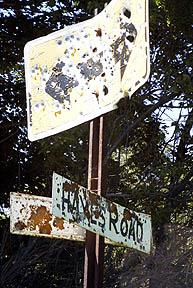
Hayes Road Sign
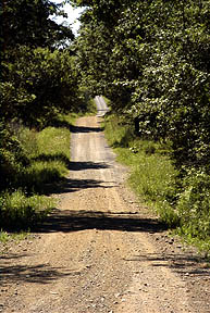
ATV Road
Dashpoint - note tree