Sniktau and Mt Evans, June, 2007
Pictures from a hike up Mt. Sniktau (sp), a 13er near Loveland Pass, and a road bike ride up Mt. Evans.
To get in shape and check conditions I hiked a 13er near Loveland Pass, here are a few pics.
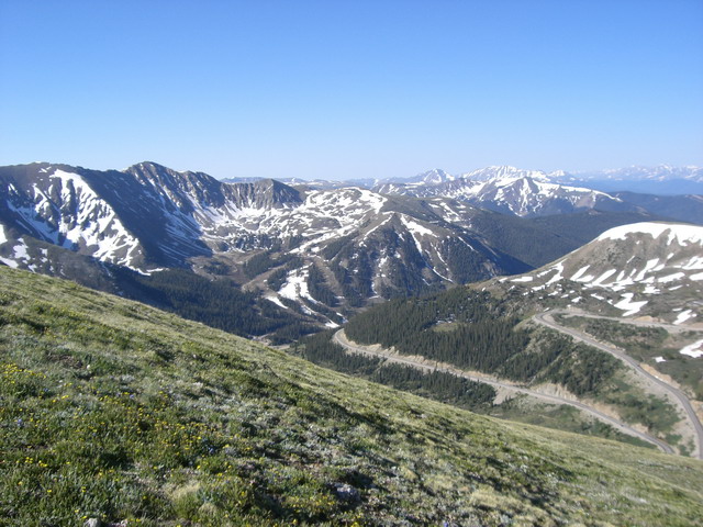
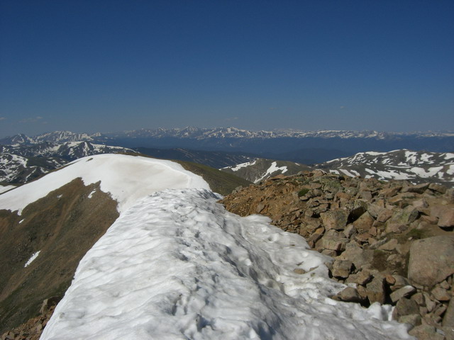
View from ridge back down to Loveland Pass, elevation 11,990'.
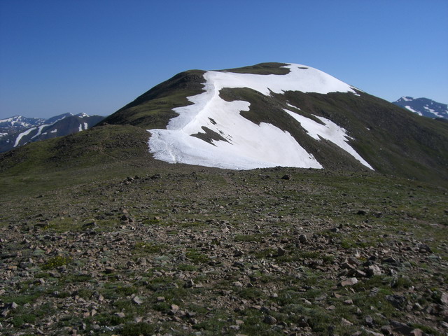
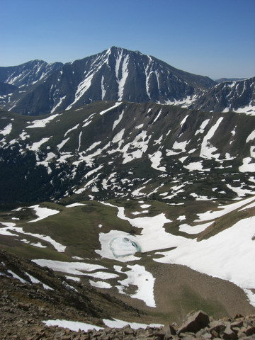
View up Mt. Sniktau, this is a false summit, the actual summit is behind this rise.
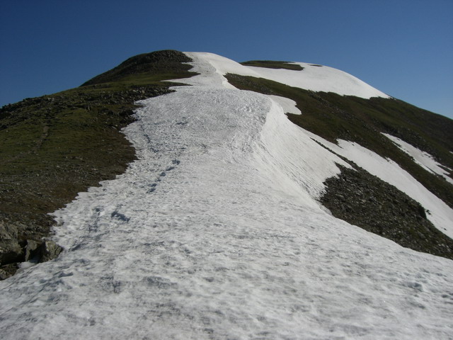
Current snow conditions - the cornice is still quite deep - 20'?
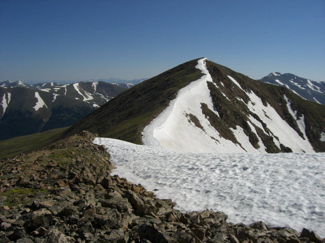
The actual summit.
View from Mt. Sniktau to Torreys - in the foreground, and Greys, the small peak just to the right of Torrey's peak.
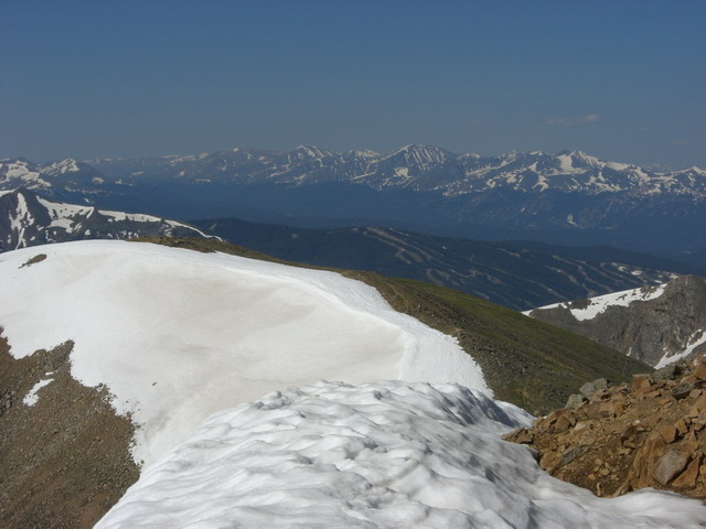
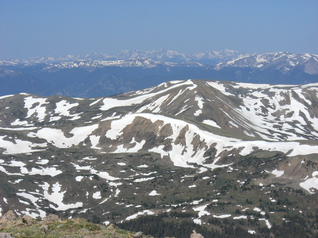
The view west into the valley with Frisco, Keystone and Breckenridge. You can see Keystone and, behind it, Breckenridge ski areas.
Closeup of above.
Looking across Clear Creek valley (where Route 70 runs) to the Citadel - a 13er with some great scrambling among the summit rock outcropping.
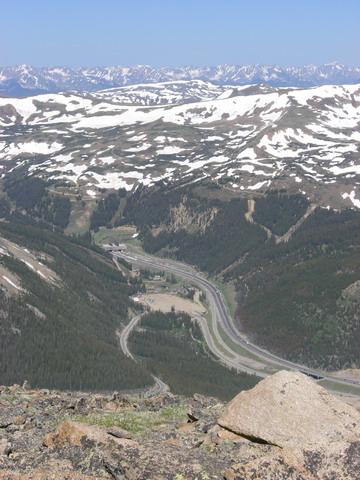
Looking down into Clear Creek to the east entrance to the Eisenhower tunnel (Route 70).
Looking west. You can make out Mt Holy Cross in the distance, center.
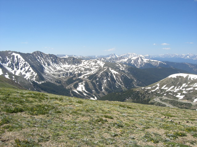
Looking southwest to Arapahoe Basin (A-Basin) ski area.
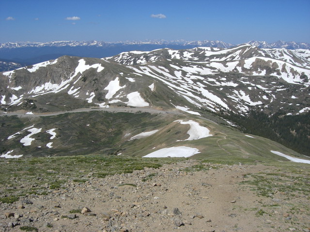
View back down to Loveland Pass
Mt Evans bike ride, June, 2007
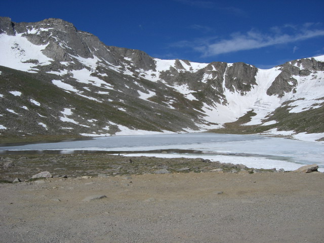
Summit Lake, around 1500' below the summit - still frozen. If you look close you can see recent ski tracks on the snow field behind the lake.
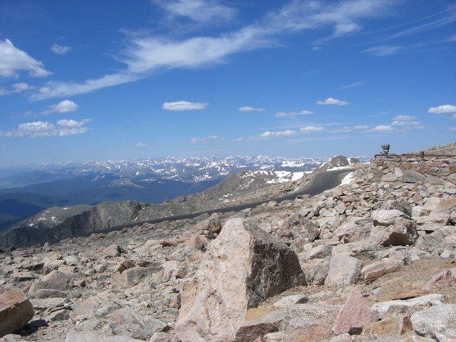
View northeast to the rode we came up on.
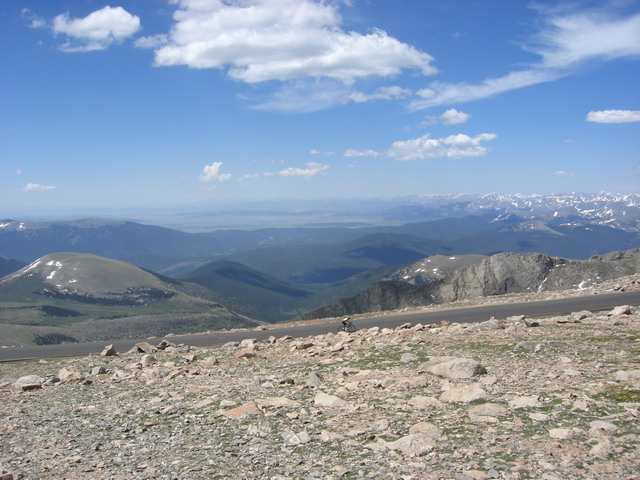
Wiew west towards Frisco and Breckenridge.
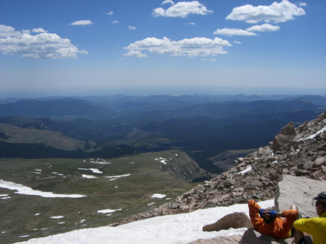
View southwest to South Park.
View east to Denver.