Sovereign Trail, Moab 2005
Sovereign Trail is a relatively new (by Moab standards), singletrack, moderate trail north of the town of Moab just east of route 191. There is a parking lot roughly at the middle of the trail, there is an out and back section to the north and a section to the south which can be done as an out and back or as a loop using a sandy 4 wheel drive trail to return to the trail head. We did an out and back from the trail head most of the way to the southern end of the trail.
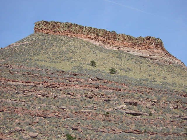
The Sovereign Trail starts in the dusty lowland east of Route 191 surrounded by bluffs with rock bands green with copper oxide.
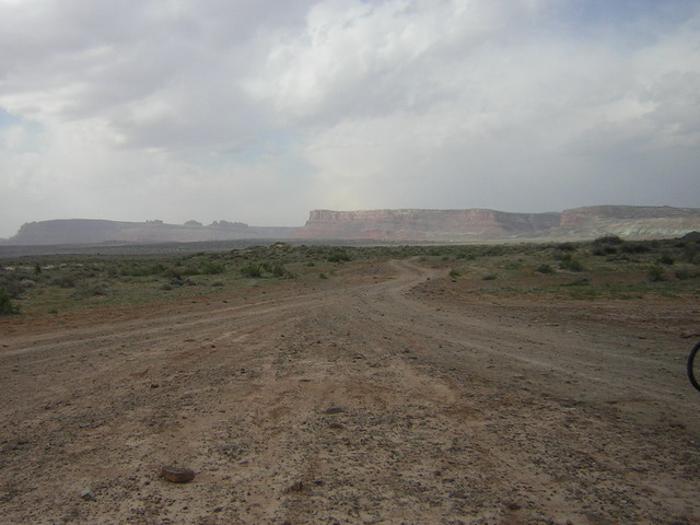
The view back to the west towards route 191. Monitor and Merrimac Buttes are just visible at the horizon.
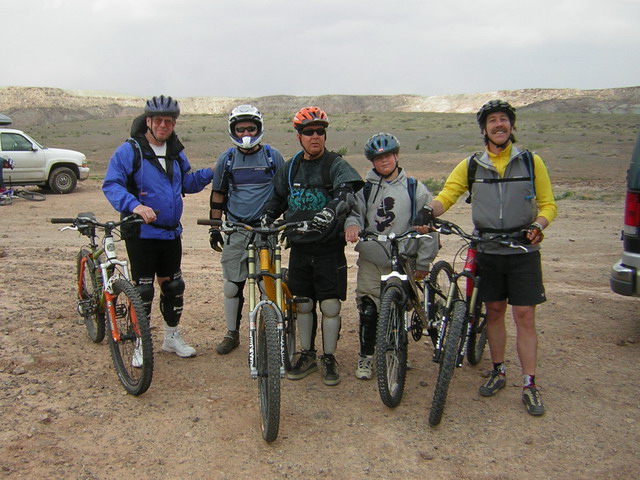
From left to right: Bruce, Derrick, Bud, Chris and Michael.
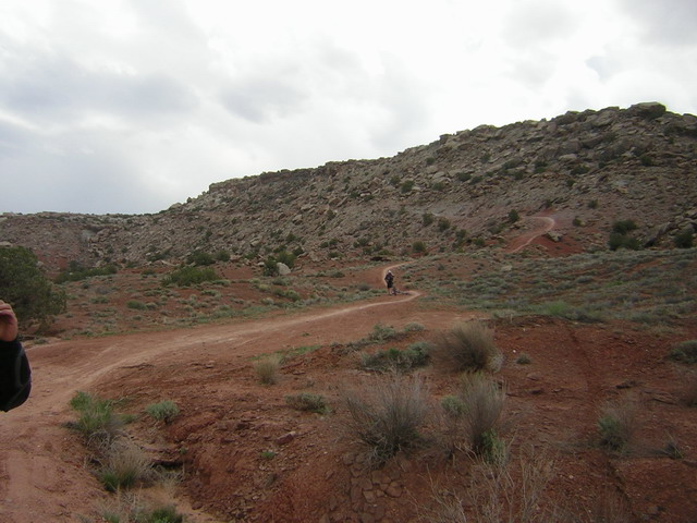
The trail starts with a short stretch on a dirt road, followed by a tough single trail climb.
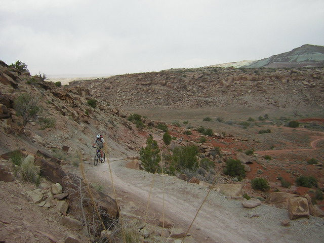
Grinding up the steep slope.
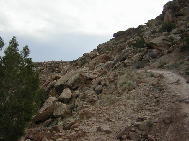
After a steep, smooth section, the trail climbed into a rocky section.
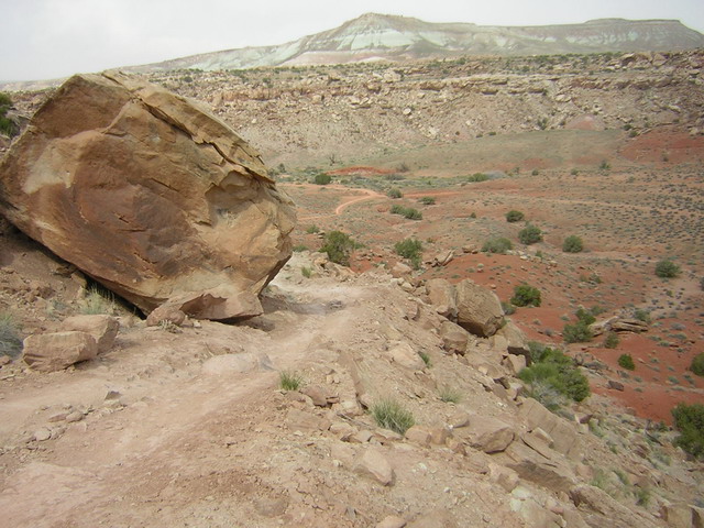
Rounding a large boulder, the trail got technical and steep.
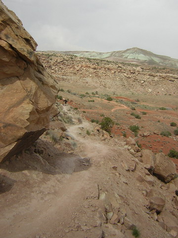
More steep, narrow trail.
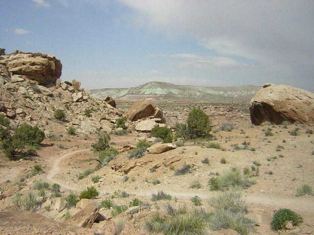
Finally the trail reaches the mesa top and levels out.
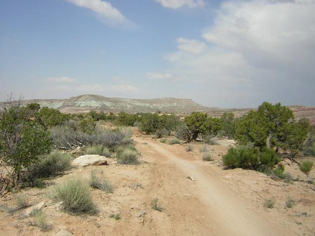
On the mesa was a relatively level area of single track. Great views back to the copper bluffs.
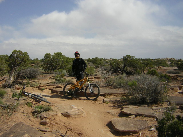
Bud during a breather - the surroundings give you a feel for this section of the trail - lots of nice, moderate trail riding hopping over, onto and off of rocks.
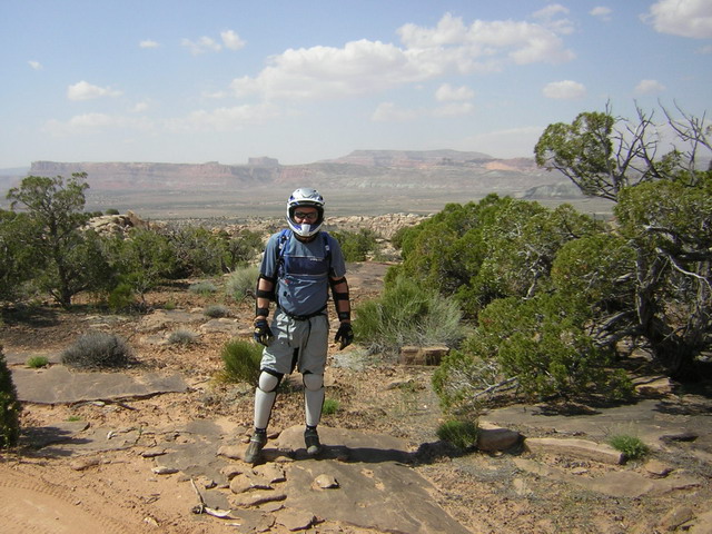
Derrick with the Monitor and Merrimac Buttes just visible in the background.
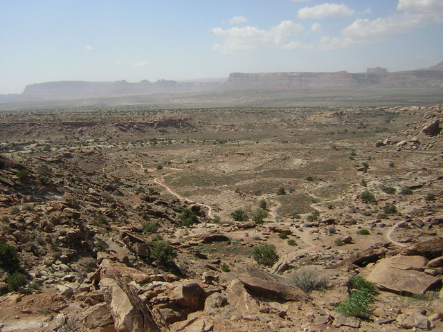
View from the edge of the mesa as the trail drops back down to the valley floor.
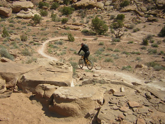
Bud racing down the steep section of trail descending towards the valley floor. This was where we decided to turn around, there was a still wind and we decided we didn't want to have to climb this section again on the way back.
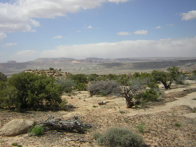
Great views on our way back.
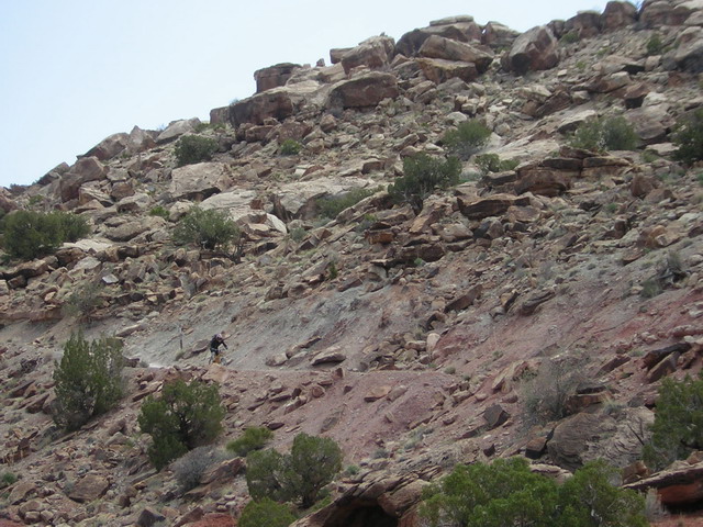
Bud cruising down the section we climbed earlier.
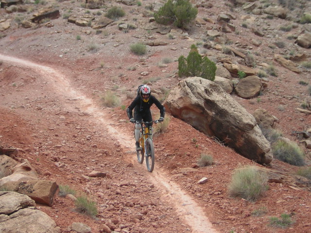
Bud just about at the bottom - he was flying here!
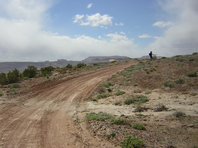
Bud, Michael and I took a detour on the way back exploring slick rock in the area. We found a singletrack which lead us back to the Soverign Trailhead with a view of the northern section of the trail which also starts with a steep climb up the Butte face. Here is a view back towards the trailhead from the dirt road we picked up.
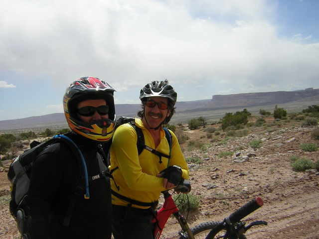
Left to right - Bud and Michael.
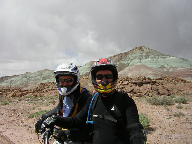
Left to right - Derrick and Bud.
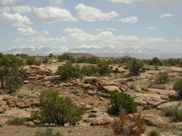
View of the LaSalle Mountains from the trailhead.