CrestCrank fundraiser Ride - Poncha Springs, Colorado, August 2006
Here is the official description of the ride
---------------------------------------------------------------------------------------
Crest Crank - Sunday, August 27, 2006
Mountain Bike Colorado's Best Single-track for a great cause! This is a one day fundraising tour, NOT a race... 20 miles of unbelievable singletrack riding, starting at 11,300' on beautiful Monarch Pass. Many riders consider this section of the Colorado Trail to be one of the greatest mountain bike rides in the Rockies. Rally your friends to Salida for this epic.
Proceeds to benefit the Alliance Against Domestic Abuse of Chaffee County
--------------------------------------------------------------------------------------
This is what Trails.com said about this trail:
---------------------------------------------------------------------------------------
Preview: Epic is the only word for it. The Monarch Crest Trail is considered the premier mountain bike ride in the entire 14ers Region. Touted by Bicycle Magazine as one of the top five rides in the United States, the trail covers roughly 40 miles of descending singletrack over tundra-like terrain, across talus fields, through old-growth forests and high plains desert. This ride is one not to be missed, an impressive addition to anyone's mountain biking resume. Terrain: Singletrack, 4WD Road, improved dirt road, and highway. The terrain includes mountaintop granite and quartz, tundra, talus fields, dark forest, and high plains desert.
--------------------------------------------------------------------------------------
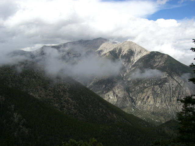
Mt Princeton from the shoulder of Antero
The Chalk Cliffs on the eastern ridge of Princeton, with Buena Vista in the background.
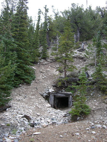
The mine at the end of the trail - it was just below the crest of a peak on the side of Antero around 11,300 ft.

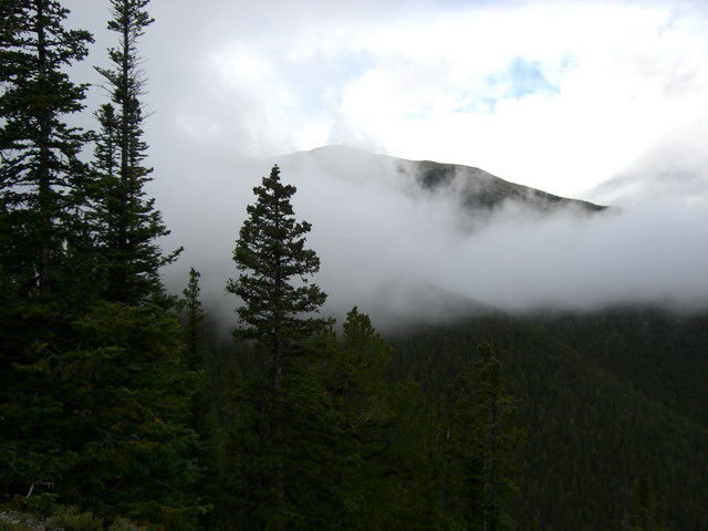
The clouds rolled in again on my way back down.
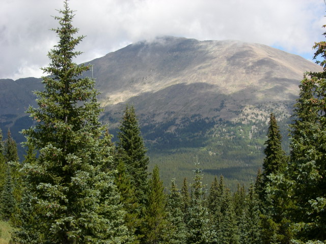
The next day - Sunday - we did the CrestCrank ride on Monarch Crest trail.
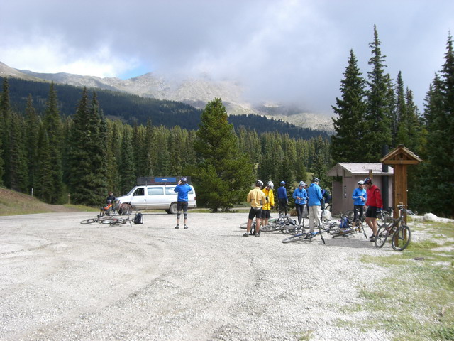
Bud, Steve, Michael, Pierre and myself met for the ride at the town park in Poncha Springs where we registered and jumped on a shuttle to take us up to Monarch Pass - the ride would go along the ridge and then drop down one of the valleys back to town - 28 miles in all.
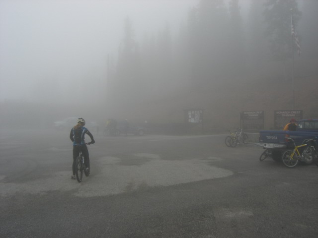
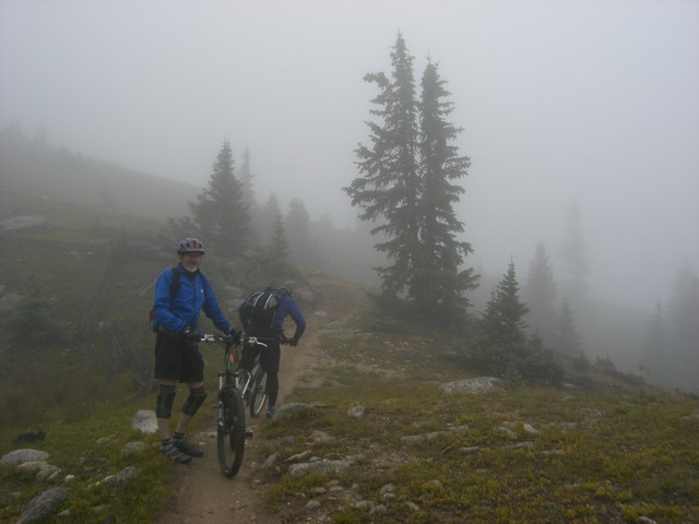
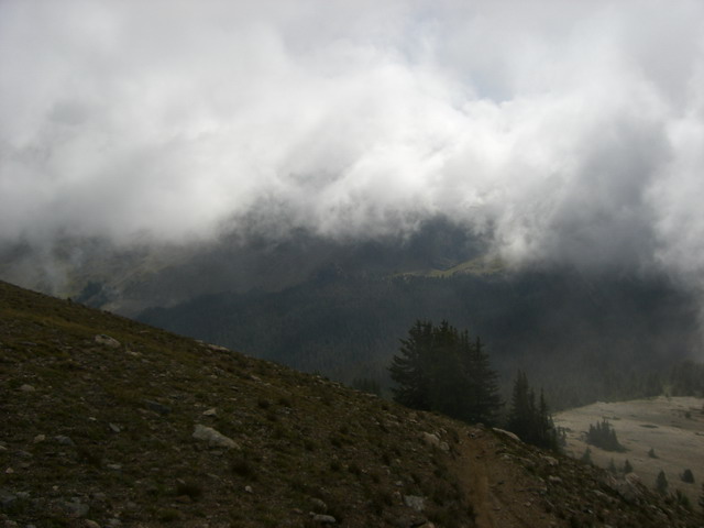
In the parking lot at Monarch ski area - we were in the clouds from the start
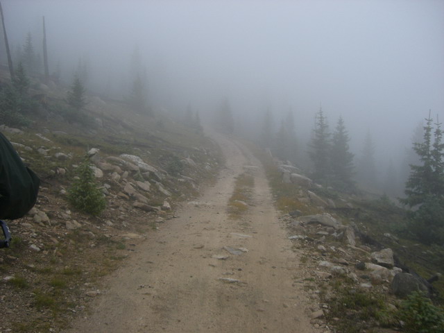
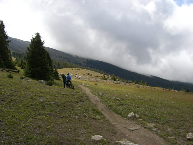
We started on a gravel road
Which soon became single track
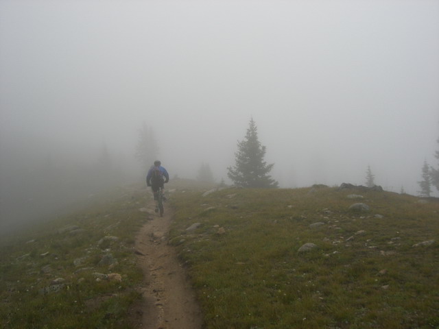
Steve with his head in the clouds - sorry, I couldn't resist!
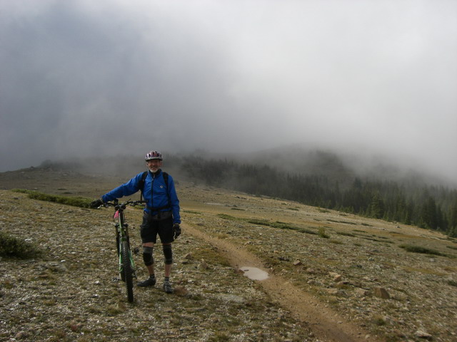
Steve again - you can see the clouds are thinning out
Here I (Derrick) am, you can see it was pretty wet
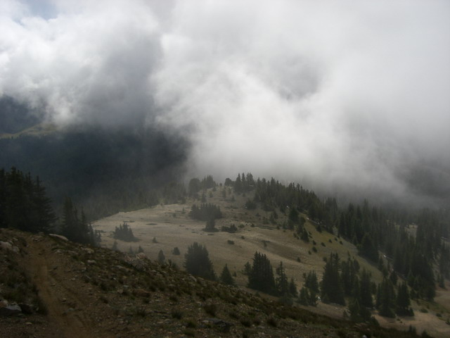
As we started to drop down the clouds thinned more. Yes, that is snow on the slope below. You can also see the trail in the lower left, it was pretty sketchy in this section - mud and loose rock.

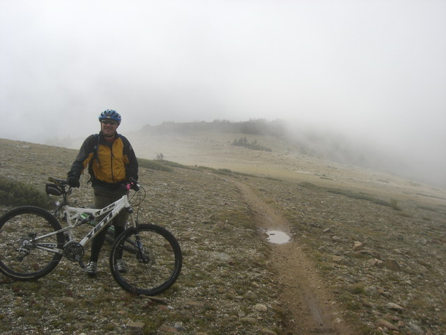
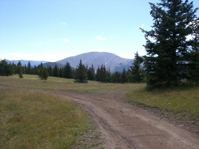
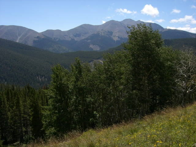
This section of the trail was just below the ridge line which forms the continental divide in this area - fantastic riding!
The organizers did a great job of guiding us so we wouldn't get lost. There were people at every trail intersection to make sure we didn't make a wrong turn.
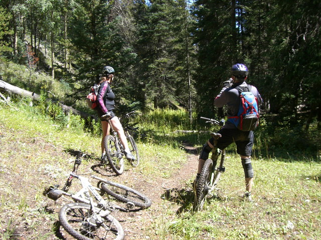
At this rest stop, we hooked up with local Heidi who took us to a great alternate trail down off the ridge: Starvation Creek trail
Heidi explained this trail is great because, since it is off limits to dirt bikers, it has remained narrow and pristine - the rocks and roots haven't been dug out by the dirt bikes. Heidi said it was a great trail, so Steve and I figured we had to give it a try.

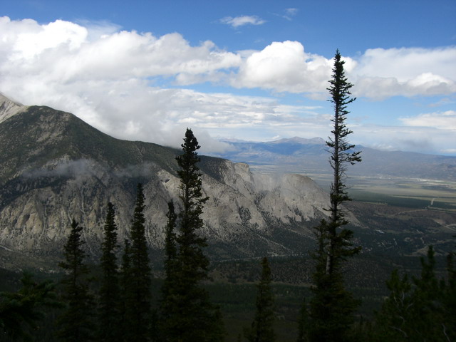
Amazing views at the top of the trail!
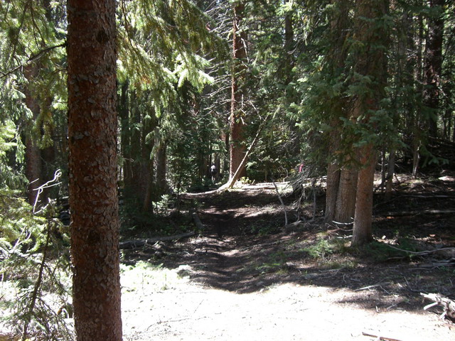
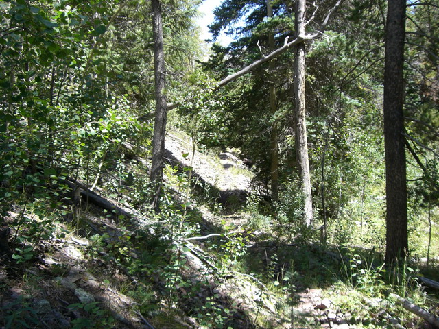
Then we got into the trees and things got really good! What a fantastic trail - winding thru a tight valley along the creek, in and out of the trees, with a couple of stream crossings thrown in. Amazing!
Back at the park the organizers threw us a party with door prizes, food and free beer - what a great end to the ride.
After a great party (and not too much beer!) it was time to drive home.
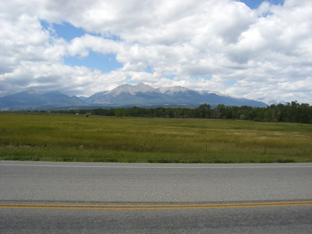
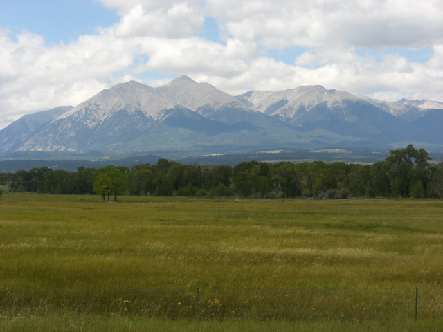
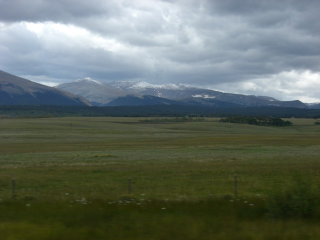
Great views of the Collegiate Peaks from route 285 on the way home.
Further east, in South Park, you can see we just received the first snow of the year