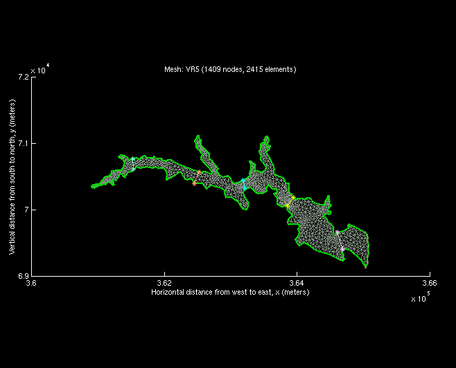
Finite element computational grid, YR5 of the Great Bay Estuary
system. The five straight lines mark the five transect cuts. The southern bottom boundary
is the inlet M2 tidal forcing boundary.The bathymetric contours reveal a center channel
through the river.
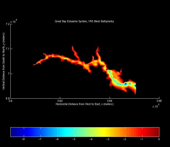
Two-dimensional color map of bathymetric depth of YR5
![[back]](http://www.geocities.com/CapeCanaveral/Hangar/9740/images/home.gif)
Last modified:September 21, 1998 (Safak Nur ERTURK)