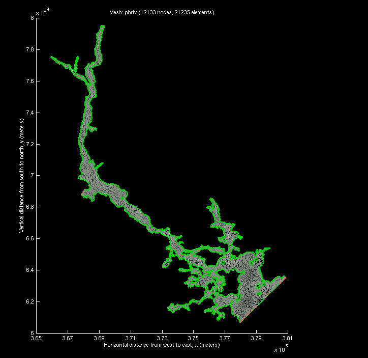
Finite element computational grid, phriv of the Portsmouth Harbour with Piscataqua River. The northern top boundary is the outlet M2 tidal forcing boundary and the southern bottom boundary is
the inlet M2 tidal forcing boundary.The bathymetric contours reveal a center channel
through south to north.
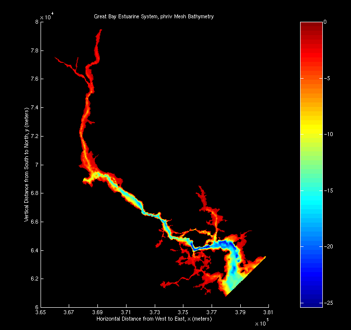
Two-dimensional color map of bathymetric depth of phriv
![[back]](http://www.geocities.com/CapeCanaveral/Hangar/9740/images/home.gif)
Last modified: September 21, 1998 (Safak Nur ERTURK )